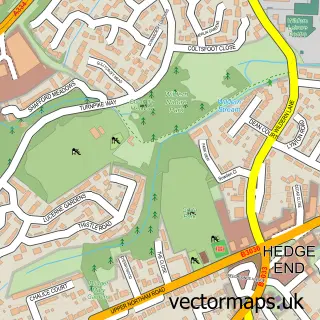
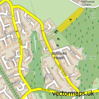
This Lower Swanwick street map is a detailed vector street map covering a 750m x 750m area. Select a larger area to create and download your own vector street map of Lower Swanwick.
The 750-metre map sample for Lower Swanwick covers 301 mapped buildings and approximately 10.4 km of road detail, of which 18 named roads are named. The immediate area includes 4 GP surgeries within 2 miles, 2 pubs and 14 MOT stations within 2 miles. The wider area around Lower Swanwick features 1 tourism point of interest, 3 food and drink venues and 2 hotels. To create a larger or custom map of Lower Swanwick, the map builder lets you define your own coverage area and download editable SVG, PDF and PNG files.
Create a larger editable map of Lower Swanwick
Choose any area you need and generate a high-quality vector map instantly. Perfect for print, planning, design, business and personal use.

This Lower Swanwick street map in Hampshire is available as downloadable SVG, PDF and PNG map files, or as a printed map for planning, business, display, education, local information and design work. You can also create a larger custom map area using the map selector.
What this Lower Swanwick map sample shows
Lower Swanwick lies within Hampshire County parish, part of Sarisbury ward in the Fareham District (B) local authority area. The postcode geography for this area includes the SO postcode area, the SO31 postcode district and the SO31 7 postcode sector. Residents fall under the Nhs Hampshire And Isle Of Wight Integrated Care Board for NHS services.
Local features near Lower Swanwick
Within 2 milesAmenities and services in and around Lower Swanwick.
Administrative and postcode information for Lower Swanwick
Lower Swanwick lies within Hampshire County parish, part of Sarisbury ward in the Fareham District (B) local authority area. The postcode geography for this area includes the SO postcode area, the SO31 postcode district and the SO31 7 postcode sector. Residents fall under the Nhs Hampshire And Isle Of Wight Integrated Care Board for NHS services.
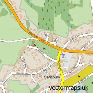
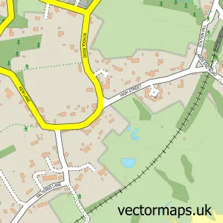
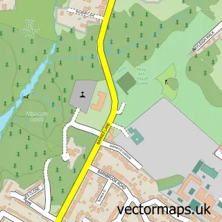
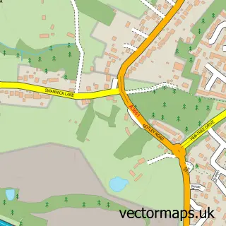
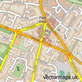
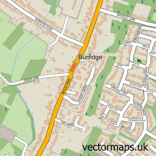
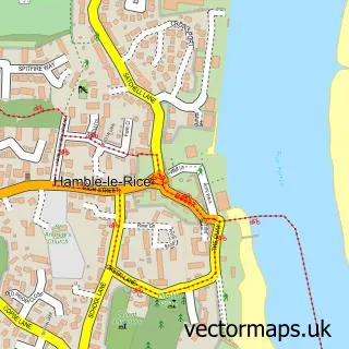
Nearby street map samples around Lower Swanwick

More street maps in Hampshire
750 metre map area coverage
Boundary, postcode and point of interest information for the 750m x 750m rectangle centred on this sample map.
Boundaries containing map centre
Constituency: Hamble Valley Co Const
County: Hampshire County
District: Fareham District (B)
Icb: NHS Hampshire and Isle of Wight ICB
Police Force: hampshire
Postcode District: SO31
Postcode Sector: SO31 7
Ward: Sarisbury & Whiteley Ward
Nearby boundaries intersecting sample
District: Eastleigh District (B)
Parish: Bursledon CP
Postcode Sector: SO31 1, SO31 8
Ward: Bursledon & Hound North Ward
Postcode coverage
POI category counts
Boat Dealer: 11
Hair Salon: 4
Automotive Repair: 3
Marina: 3
Printing Services: 3
Professional Services: 3
Art Gallery: 2
Automotive: 2
Boat Parts And Supply Store: 2
Boat Rental And Training: 2
Sample points of interest
- The Paddle Centre
- The Art of Communication
- Dixon Yacht Design
- British Motor Yacht Show
- Magic Flute Artworks
- Andark Lake
- Hampshire Smart Repairs
- Hendy Business
- Allspars - Solent
- Carlolly Swanwick
- Smart Alloy Hampshire
- Terraclean & Dpf Service Centre
Create a larger editable map of Lower Swanwick
This sample shows only a 750 metre area. To create a larger map of Lower Swanwick, use our map builder to choose your own coverage area, add titles and download editable SVG, PDF and PNG files.
Create a custom map of Lower Swanwick