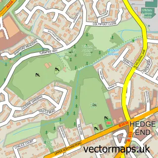
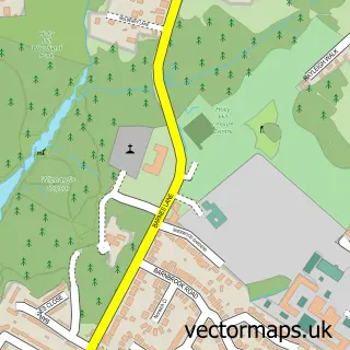
This Burridge street map is a detailed vector street map covering a 750m x 750m area. Select a larger area to create and download your own vector street map of Burridge.
The 750-metre map sample for Burridge covers 436 mapped buildings and approximately 12.1 km of road detail, of which 27 named roads are named. The immediate area includes 3 GP surgeries within 2 miles and 9 MOT stations within 2 miles. The wider area around Burridge features 1 campsite within 2 miles. To create a larger or custom map of Burridge, the map builder lets you define your own coverage area and download editable SVG, PDF and PNG files.
Create a larger editable map of Burridge
Choose any area you need and generate a high-quality vector map instantly. Perfect for print, planning, design, business and personal use.

This Burridge street map in Hampshire is available as downloadable SVG, PDF and PNG map files, or as a printed map for planning, business, display, education, local information and design work. You can also create a larger custom map area using the map selector.
What this Burridge map sample shows
Burridge lies within Hampshire County parish, part of Sarisbury ward in the Fareham District (B) local authority area. The postcode geography for this area includes the SO postcode area, the SO31 postcode district and the SO31 1 postcode sector. Residents fall under the Nhs Hampshire And Isle Of Wight Integrated Care Board for NHS services.
Local features near Burridge
Within 2 milesAmenities and services in and around Burridge.
Administrative and postcode information for Burridge
Burridge lies within Hampshire County parish, part of Sarisbury ward in the Fareham District (B) local authority area. The postcode geography for this area includes the SO postcode area, the SO31 postcode district and the SO31 1 postcode sector. Residents fall under the Nhs Hampshire And Isle Of Wight Integrated Care Board for NHS services.
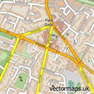
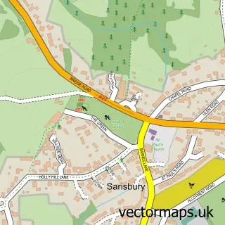
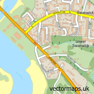
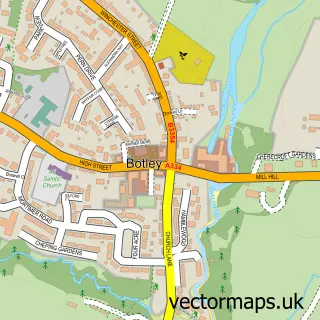
Nearby street map samples around Burridge

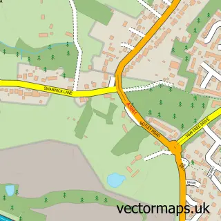
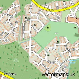
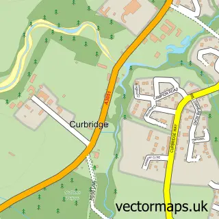
More street maps in Hampshire
750 metre map area coverage
Boundary, postcode and point of interest information for the 750m x 750m rectangle centred on this sample map.
Boundaries containing map centre
Constituency: Hamble Valley Co Const
County: Hampshire County
District: Fareham District (B)
Icb: NHS Hampshire and Isle of Wight ICB
Police Force: hampshire
Postcode District: SO31
Postcode Sector: SO31 1
Ward: Sarisbury & Whiteley Ward
Nearby boundaries intersecting sample
Parish: Whiteley CP
Postcode District: PO15
Postcode Sector: PO15 7
Postcode coverage
POI category counts
Beauty Salon: 3
Accountant: 2
Contractor: 1
Cooking School: 1
Cosmetic And Beauty Supplies: 1
Dog Walkers: 1
Driving School: 1
Education: 1
Educational Services: 1
Elevator Service: 1
Sample points of interest
- AIMS Accountants For Business - Keith Powers
- Solent Accounting Services
- Hannah’s Beauty at Olive and Ivy
- S C Aesthetics
- Tyne Skin Clinic
- Majengo Ltd
- Dawn's Kitchen
- Honeyz Hair
- Woofs-A-Daisy
- GoWithJoe Driving School
- Monkey Music Winchester Chandler's Ford & Fareham
- Pass4u Driving School Fareham
Create a larger editable map of Burridge
This sample shows only a 750 metre area. To create a larger map of Burridge, use our map builder to choose your own coverage area, add titles and download editable SVG, PDF and PNG files.
Create a custom map of Burridge