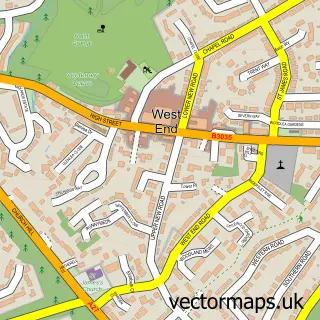
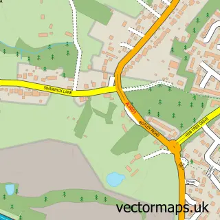
This Hedge End street map is a detailed vector street map covering a 750m x 750m area. Select a larger area to create and download your own vector street map of Hedge End.
The 750-metre map sample for Hedge End covers 447 mapped buildings and approximately 17.4 km of road detail, of which 37 named roads are named. The immediate area includes 1 GP surgery within 2 miles, 2 pubs and 18 MOT stations within 2 miles. The wider area around Hedge End features 2 tourism points of interest and 12 food and drink venues. To create a larger or custom map of Hedge End, the map builder lets you define your own coverage area and download editable SVG, PDF and PNG files.
Create a larger editable map of Hedge End
Choose any area you need and generate a high-quality vector map instantly. Perfect for print, planning, design, business and personal use.

This Hedge End street map in Hampshire is available as downloadable SVG, PDF and PNG map files, or as a printed map for planning, business, display, education, local information and design work. You can also create a larger custom map area using the map selector.
What this Hedge End map sample shows
Hedge End lies within Hedge End Cp parish, part of Hedge End South ward in the Eastleigh District (B) local authority area. The postcode geography for this area includes the SO postcode area, the SO30 postcode district and the SO30 4 postcode sector. Residents fall under the Nhs Hampshire And Isle Of Wight Integrated Care Board for NHS services.
Local features near Hedge End
Within 2 milesAmenities and services in and around Hedge End.
Administrative and postcode information for Hedge End
The local authority covering Hedge End is Eastleigh District (B), within the county of Hampshire. The settlement lies within Hedge End South ward and Hedge End Cp civil parish. The SO30 postcode district and SO30 4 postcode sector serve the immediate area. NHS provision in the area is delivered through University Hospital Southampton Nhs Foundation Trust.
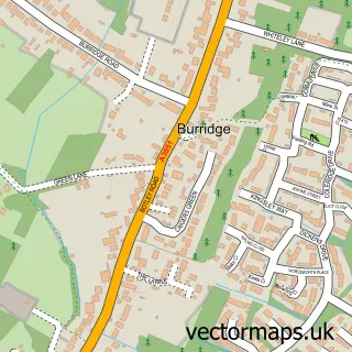
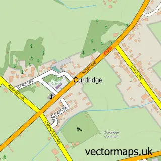
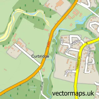
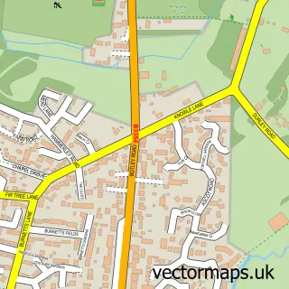
Nearby street map samples around Hedge End

More street maps in Hampshire
750 metre map area coverage
Boundary, postcode and point of interest information for the 750m x 750m rectangle centred on this sample map.
Boundaries containing map centre
Constituency: Hamble Valley Co Const
County: Hampshire County
District: Eastleigh District (B)
Icb: NHS Hampshire and Isle of Wight ICB
Parish: Hedge End CP
Police Force: hampshire
Postcode District: SO30
Postcode Sector: SO30 4
Ward: Hedge End South Ward
Nearby boundaries intersecting sample
Postcode Sector: SO30 0
Ward: Hedge End North Ward
Postcode coverage
POI category counts
Coffee Shop: 7
Banks: 5
Chinese Restaurant: 5
Furniture Store: 5
Financial Service: 4
Real Estate Agent: 4
Retail: 4
Hair Salon: 3
Outdoor Gear: 3
Travel Agents: 3
Sample points of interest
- Lighthouse Accountancy Services
- The Accounting Studio
- MHR Fitness
- CRY Charity Shop
- Hedge End Domestics
- Greggs
- Kettle and Cake
- Lloyds Bank
- Nationwide Building Society
- Barclays
- HSBC UK
- Lloyds Bank
Create a larger editable map of Hedge End
This sample shows only a 750 metre area. To create a larger map of Hedge End, use our map builder to choose your own coverage area, add titles and download editable SVG, PDF and PNG files.
Create a custom map of Hedge End