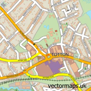
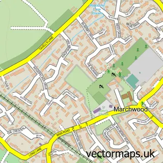
This Eling street map is a detailed vector street map covering a 750m x 750m area. Select a larger area to create and download your own vector street map of Eling.
The 750-metre map sample for Eling covers 380 mapped buildings and approximately 15.6 km of road detail, of which 25 named roads are named. The immediate area includes 1 school, 4 GP surgeries within 2 miles, 3 pubs and 21 MOT stations within 2 miles. The wider area around Eling features 4 tourism points of interest and 4 food and drink venues. To create a larger or custom map of Eling, the map builder lets you define your own coverage area and download editable SVG, PDF and PNG files.
Create a larger editable map of Eling
Choose any area you need and generate a high-quality vector map instantly. Perfect for print, planning, design, business and personal use.

This Eling street map in Hampshire is available as downloadable SVG, PDF and PNG map files, or as a printed map for planning, business, display, education, local information and design work. You can also create a larger custom map area using the map selector.
What this Eling map sample shows
Eling lies within Totton And Eling Cp parish, part of Totton East ward in the New Forest District local authority area. The postcode geography for this area includes the SO postcode area, the SO40 postcode district and the SO40 3 postcode sector. Residents fall under the Nhs Hampshire And Isle Of Wight Integrated Care Board for NHS services.
Local features near Eling
Within 2 milesAmenities and services in and around Eling.
Administrative and postcode information for Eling
The local authority covering Eling is New Forest District, within the county of Hampshire. The settlement lies within Totton East ward and Totton And Eling Cp civil parish. The SO40 postcode district and SO40 3 postcode sector serve the immediate area. NHS provision in the area is delivered through University Hospital Southampton Nhs Foundation Trust.
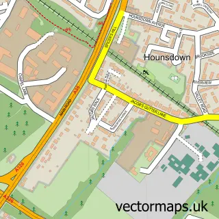
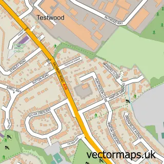
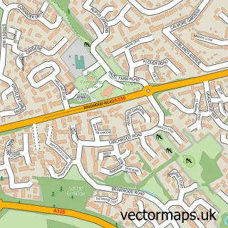
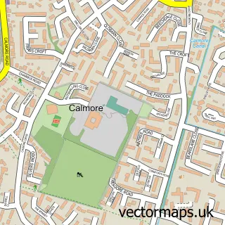
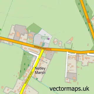
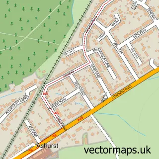
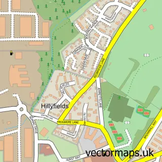
Nearby street map samples around Eling

More street maps in Hampshire
750 metre map area coverage
Boundary, postcode and point of interest information for the 750m x 750m rectangle centred on this sample map.
Boundaries containing map centre
Constituency: New Forest East Co Const
County: Hampshire County
District: New Forest District
Icb: NHS Hampshire and Isle of Wight ICB
Parish: Totton and Eling CP
Police Force: hampshire
Postcode District: SO40
Postcode Sector: SO40 9
Ward: Marchwood & Eling Ward
Nearby boundaries intersecting sample
Ward: Totton South Ward
Postcode coverage
POI category counts
Convenience Store: 5
Professional Services: 5
Tattoo And Piercing: 5
Beauty Salon: 4
Building Supply Store: 4
Hair Salon: 4
Indian Restaurant: 4
Printing Services: 4
Barber: 3
Business To Business: 3
Sample points of interest
- R A Jones & Co.
- Zoom Go Marketing
- New Leaf Hypnotherapy
- Snug Architects
- Just For You HQ
- Waterside Scrapstore
- Reynolds Commercial Body Repairs
- The Hand Job Car Wash
- HHR Performance Ltd
- Totton Recreation Club
- Gentlemen's League
- Sam's Barber Shop
Create a larger editable map of Eling
This sample shows only a 750 metre area. To create a larger map of Eling, use our map builder to choose your own coverage area, add titles and download editable SVG, PDF and PNG files.
Create a custom map of Eling