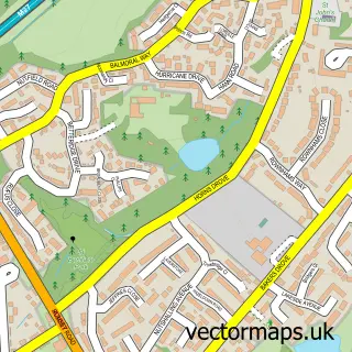
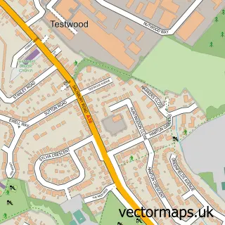
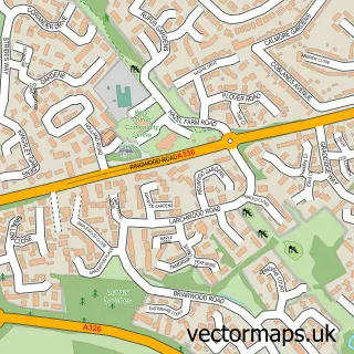
This Hillyfields street map is a detailed vector street map covering a 750m x 750m area. Select a larger area to create and download your own vector street map of Hillyfields.
The 750-metre map sample for Hillyfields covers 255 mapped buildings and approximately 11.1 km of road detail, of which 16 named roads are named. The immediate area includes 7 GP surgeries within 2 miles, 1 pub and 1 MOT station, with 25 within 2 miles. The wider area around Hillyfields features 2 tourism points of interest and 3 food and drink venues. To create a larger or custom map of Hillyfields, the map builder lets you define your own coverage area and download editable SVG, PDF and PNG files.
Create a larger editable map of Hillyfields
Choose any area you need and generate a high-quality vector map instantly. Perfect for print, planning, design, business and personal use.

This Hillyfields street map in Hampshire is available as downloadable SVG, PDF and PNG map files, or as a printed map for planning, business, display, education, local information and design work. You can also create a larger custom map area using the map selector.
What this Hillyfields map sample shows
Hillyfields lies within Nursling And Rownhams Cp parish, part of Chilworth, Nursling & Rownhams ward in the Test Valley District local authority area. The postcode geography for this area includes the SO postcode area, the SO16 postcode district and the SO16 0 postcode sector. Residents fall under the Nhs Hampshire And Isle Of Wight Integrated Care Board for NHS services.
Local features near Hillyfields
Within 2 milesAmenities and services in and around Hillyfields.
Administrative and postcode information for Hillyfields
The local authority covering Hillyfields is Test Valley District, within the county of Hampshire. The settlement lies within Chilworth, Nursling & Rownhams ward and Nursling And Rownhams Cp civil parish. The SO16 postcode district and SO16 0 postcode sector serve the immediate area. NHS provision in the area is delivered through University Hospital Southampton Nhs Foundation Trust.
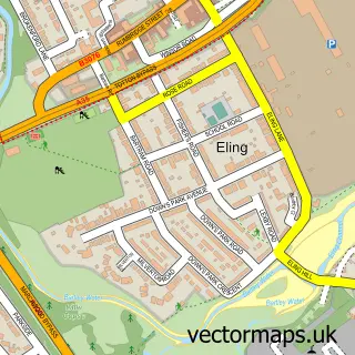
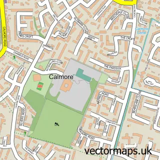
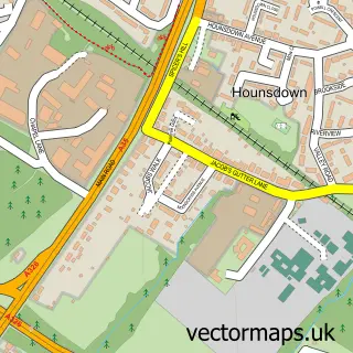
Nearby street map samples around Hillyfields
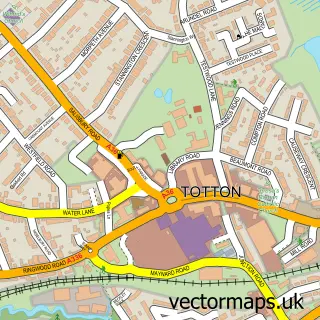

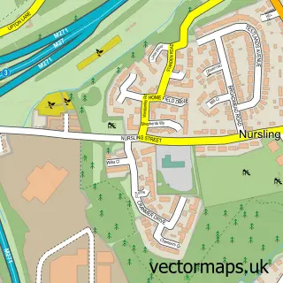
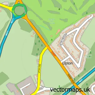
More street maps in Hampshire
750 metre map area coverage
Boundary, postcode and point of interest information for the 750m x 750m rectangle centred on this sample map.
Boundaries containing map centre
Constituency: Romsey and Southampton North Co Const
County: Hampshire County
District: Test Valley District
Icb: NHS Hampshire and Isle of Wight ICB
Parish: Nursling and Rownhams CP
Police Force: hampshire
Postcode District: SO16
Postcode Sector: SO16 0
Ward: Chilworth, Nursling & Rownhams Ward
Nearby boundaries intersecting sample
Constituency: Southampton Test Boro Const
District: City of Southampton (B)
Postcode Sector: SO16 9
Ward: Redbridge Ward
Postcode coverage
POI category counts
Preschool: 4
Pet Groomer: 3
Sports Club And League: 3
Beauty Salon: 2
Coffee Shop: 2
Ambulance And Ems Services: 1
Arts And Crafts: 1
Automotive: 1
Automotive Repair: 1
Barber: 1
Sample points of interest
- Hampshire And Isle of Wight Air Ambulance
- Balloon Days
- Rivus Fleet Solutions
- Adams Morey Southampton
- Saks Hair & Beauty Southampton
- Saks Southampton
- Millie Green Aesthetics & Beauty
- 𝗡𝗮𝘁𝗮𝘀𝗵𝗮 𝗟𝗼𝘂𝗶𝘀𝗲 𝗛𝗮𝗶𝗿
- Bootcamp UK Southampton - Outdoor Fitness Classes In Southampton
- European Slate Company
- ChamSys
- Costa Coffee
Create a larger editable map of Hillyfields
This sample shows only a 750 metre area. To create a larger map of Hillyfields, use our map builder to choose your own coverage area, add titles and download editable SVG, PDF and PNG files.
Create a custom map of Hillyfields