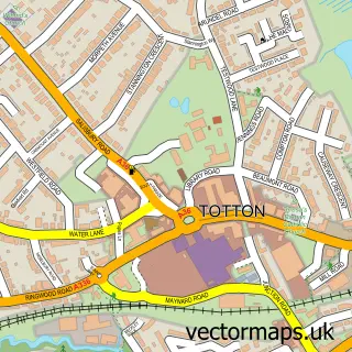
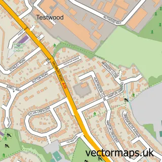
This Nursling street map is a detailed vector street map covering a 750m x 750m area. Select a larger area to create and download your own vector street map of Nursling.
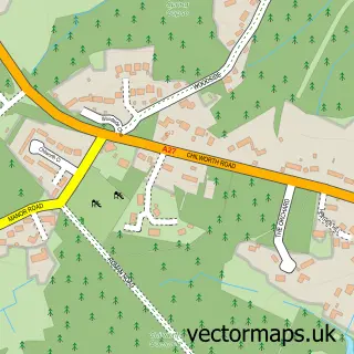
The 750-metre map sample for Nursling covers 254 mapped buildings and approximately 12.3 km of road detail, of which 21 named roads are named. The immediate area includes 1 school, 5 GP surgeries within 2 miles and 12 MOT stations within 2 miles. To create a larger or custom map of Nursling, the map builder lets you define your own coverage area and download editable SVG, PDF and PNG files.
Create a larger editable map of Nursling
Choose any area you need and generate a high-quality vector map instantly. Perfect for print, planning, design, business and personal use.

This Nursling street map in Hampshire is available as downloadable SVG, PDF and PNG map files, or as a printed map for planning, business, display, education, local information and design work. You can also create a larger custom map area using the map selector.
What this Nursling map sample shows
Nursling lies within Nursling And Rownhams Cp parish, part of Chilworth, Nursling & Rownhams ward in the Test Valley District local authority area. The postcode geography for this area includes the SO postcode area, the SO16 postcode district and the SO16 0 postcode sector. Residents fall under the Nhs Hampshire And Isle Of Wight Integrated Care Board for NHS services.
Local features near Nursling
Within 2 milesAmenities and services in and around Nursling.
Administrative and postcode information for Nursling
Nursling lies within Nursling And Rownhams Cp parish, part of Chilworth, Nursling & Rownhams ward in the Test Valley District local authority area. The postcode geography for this area includes the SO postcode area, the SO16 postcode district and the SO16 0 postcode sector. Residents fall under the Nhs Hampshire And Isle Of Wight Integrated Care Board for NHS services.
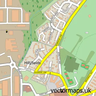
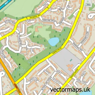
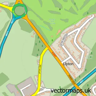
Nearby street map samples around Nursling

More street maps in Hampshire
750 metre map area coverage
Boundary, postcode and point of interest information for the 750m x 750m rectangle centred on this sample map.
Boundaries containing map centre
Constituency: Romsey and Southampton North Co Const
County: Hampshire County
District: Test Valley District
Icb: NHS Hampshire and Isle of Wight ICB
Parish: Nursling and Rownhams CP
Police Force: hampshire
Postcode District: SO16
Postcode Sector: SO16 0
Ward: Chilworth, Nursling & Rownhams Ward
Nearby boundaries intersecting sample
Postcode Sector: SO16 8
Postcode coverage
POI category counts
Beauty Salon: 2
Professional Services: 2
Scout Hall: 2
Active Life: 1
Architectural Designer: 1
Atms: 1
Automotive Repair: 1
Automotive Services And Repair: 1
Bakery: 1
Building Contractor: 1
Sample points of interest
- Bobby
- DWG Plans
- The Cooperative Food Nursling
- 2 Chamois
- Automotive Glass Removal
- Sophisticakes
- Helen McGuinness Aesthetics Limited
- SB Hair & Beauty
- SWC Services
- Primer Design Ltd.
- Nursling & Rownhams Village Hall
- PACE Electrical Services
Create a larger editable map of Nursling
This sample shows only a 750 metre area. To create a larger map of Nursling, use our map builder to choose your own coverage area, add titles and download editable SVG, PDF and PNG files.
Create a custom map of Nursling