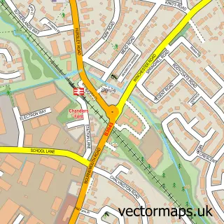
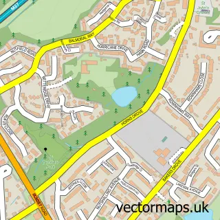
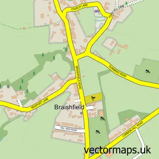
This North Baddesley street map is a detailed vector street map covering a 750m x 750m area. Select a larger area to create and download your own vector street map of North Baddesley.
The 750-metre map sample for North Baddesley covers 420 mapped buildings and approximately 14.3 km of road detail, of which 25 named roads are named. The immediate area includes 2 schools, 1 GP surgery and 1 MOT station, with 6 within 2 miles. The wider area around North Baddesley features 1 tourism point of interest and 3 food and drink venues. To create a larger or custom map of North Baddesley, the map builder lets you define your own coverage area and download editable SVG, PDF and PNG files.
Create a larger editable map of North Baddesley
Choose any area you need and generate a high-quality vector map instantly. Perfect for print, planning, design, business and personal use.

This North Baddesley street map in Hampshire is available as downloadable SVG, PDF and PNG map files, or as a printed map for planning, business, display, education, local information and design work. You can also create a larger custom map area using the map selector.
What this North Baddesley map sample shows
North Baddesley lies within North Baddesley Cp parish, part of North Baddesley ward in the Test Valley District local authority area. The postcode geography for this area includes the SO postcode area, the SO52 postcode district and the SO52 9 postcode sector. Residents fall under the Nhs Hampshire And Isle Of Wight Integrated Care Board for NHS services.
Local features near North Baddesley
Within 2 milesAmenities and services in and around North Baddesley.
Administrative and postcode information for North Baddesley
North Baddesley lies within North Baddesley Cp parish, part of North Baddesley ward in the Test Valley District local authority area. The postcode geography for this area includes the SO postcode area, the SO52 postcode district and the SO52 9 postcode sector. Residents fall under the Nhs Hampshire And Isle Of Wight Integrated Care Board for NHS services.
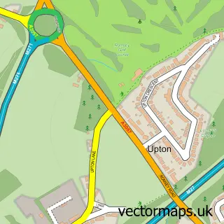
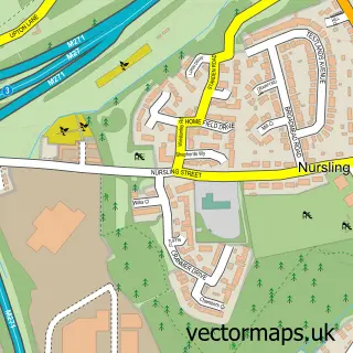
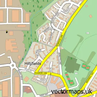
Nearby street map samples around North Baddesley

More street maps in Hampshire
750 metre map area coverage
Boundary, postcode and point of interest information for the 750m x 750m rectangle centred on this sample map.
Boundaries containing map centre
Constituency: Romsey and Southampton North Co Const
County: Hampshire County
District: Test Valley District
Icb: NHS Hampshire and Isle of Wight ICB
Parish: North Baddesley CP
Police Force: hampshire
Postcode District: SO52
Postcode Sector: SO52 9
Ward: North Baddesley Ward
Nearby boundaries intersecting sample
Parish: Chilworth CP
Ward: Chilworth, Nursling & Rownhams Ward
Postcode coverage
POI category counts
Church Cathedral: 4
Convenience Store: 4
Coffee Shop: 3
Arts And Crafts: 2
Automotive Repair: 2
Bar: 2
Chinese Restaurant: 2
Community Center: 2
Dentist: 2
Electrician: 2
Sample points of interest
- Bobs Mica Hardware
- Habistore
- Sankeys Southampton
- Pipasa Balti
- The Cooperative Food (BF) North Baddesley (ERF), North Baddesley
- Dentex Car Body Repairs
- Showroom Shine Detailing
- SJP Independent Garage Specialist
- SJP Independent Garage Specialist
- Baddesley Baptist Church
- The Firsty Foal
- The Ox Bar
Create a larger editable map of North Baddesley
This sample shows only a 750 metre area. To create a larger map of North Baddesley, use our map builder to choose your own coverage area, add titles and download editable SVG, PDF and PNG files.
Create a custom map of North Baddesley