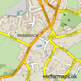
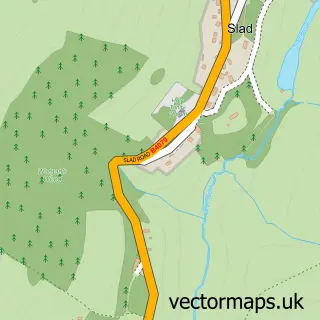
This Bisley street map is a detailed vector street map covering a 750m x 750m area. Select a larger area to create and download your own vector street map of Bisley.
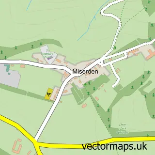
The 750-metre map sample for Bisley covers 231 mapped buildings and approximately 41.4 km of road detail, of which 15 named roads are named. The immediate area includes 1 school, 1 GP surgery within 2 miles, 3 pubs and 3 MOT stations within 2 miles. The wider area around Bisley features 1 tourism point of interest, 3 food and drink venues and 1 hotel. To create a larger or custom map of Bisley, the map builder lets you define your own coverage area and download editable SVG, PDF and PNG files.
Create a larger editable map of Bisley
Choose any area you need and generate a high-quality vector map instantly. Perfect for print, planning, design, business and personal use.

This Bisley street map in Gloucestershire is available as downloadable SVG, PDF and PNG map files, or as a printed map for planning, business, display, education, local information and design work. You can also create a larger custom map area using the map selector.
What this Bisley map sample shows
Bisley lies within Bisley-With-Lypiatt Cp parish, part of Bisley ward in the Stroud District local authority area. The postcode geography for this area includes the GL postcode area, the GL6 postcode district and the GL6 7 postcode sector. Residents fall under the Nhs Gloucestershire Integrated Care Board for NHS services.
Local features near Bisley
Within 2 milesAmenities and services in and around Bisley.
Administrative and postcode information for Bisley
Bisley lies within Bisley-With-Lypiatt Cp parish, part of Bisley ward in the Stroud District local authority area. The postcode geography for this area includes the GL postcode area, the GL6 postcode district and the GL6 7 postcode sector. Residents fall under the Nhs Gloucestershire Integrated Care Board for NHS services.
Nearby street map samples around Bisley

More street maps in Gloucestershire
750 metre map area coverage
Boundary, postcode and point of interest information for the 750m x 750m rectangle centred on this sample map.
Boundaries containing map centre
Constituency: North Cotswolds Co Const
County: Gloucestershire County
District: Stroud District
Icb: NHS Gloucestershire ICB
Parish: Bisley-with-Lypiatt CP
Police Force: gloucestershire
Postcode District: GL6
Postcode Sector: GL6 7
Ward: Bisley Ward
Nearby boundaries intersecting sample
No additional intersecting boundaries found.
Postcode coverage
POI category counts
Pub: 3
Church Cathedral: 2
Pet Groomer: 2
Post Office: 2
Shipping Center: 2
Airport: 1
Anglican Church: 1
Beach Equipment Rentals: 1
Building Contractor: 1
Delicatessen: 1
Sample points of interest
- Bisley
- All Saints
- Astralsound
- Bisley Fencing
- Chapel of St Mary of the Angels, Bisley
- St Mary of the Angels R C Church
- What's Cooking? at Dove Cottage
- Bisley Blue Coat School
- Bisley village, Gloucestershire
- Paddock Services
- Smallprint Gloucestershire
- Graduate Gardeners Ltd
Create a larger editable map of Bisley
This sample shows only a 750 metre area. To create a larger map of Bisley, use our map builder to choose your own coverage area, add titles and download editable SVG, PDF and PNG files.
Create a custom map of Bisley