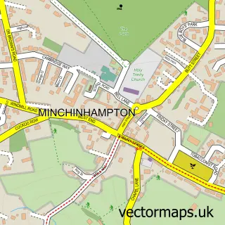
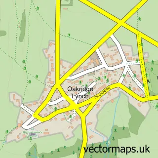
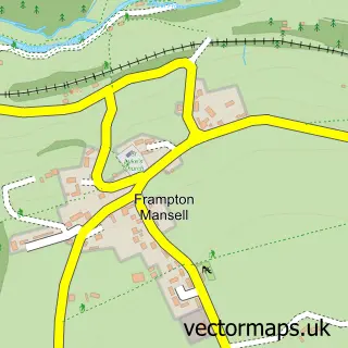
This Bussage street map is a detailed vector street map covering a 750m x 750m area. Select a larger area to create and download your own vector street map of Bussage.
The 750-metre map sample for Bussage covers 598 mapped buildings and approximately 57.9 km of road detail, of which 33 named roads are named. The immediate area includes 1 primary school and 1 secondary school, 1 GP surgery, with 2 within 2 miles, 1 pub and 5 MOT stations within 2 miles. The wider area around Bussage features 1 tourism point of interest and 1 food and drink venue. To create a larger or custom map of Bussage, the map builder lets you define your own coverage area and download editable SVG, PDF and PNG files.
Create a larger editable map of Bussage
Choose any area you need and generate a high-quality vector map instantly. Perfect for print, planning, design, business and personal use.

This Bussage street map in Gloucestershire is available as downloadable SVG, PDF and PNG map files, or as a printed map for planning, business, display, education, local information and design work. You can also create a larger custom map area using the map selector.
What this Bussage map sample shows
Bussage lies within Bisley-With-Lypiatt Cp parish, part of Bisley ward in the Stroud District local authority area. The postcode geography for this area includes the GL postcode area, the GL6 postcode district and the GL6 7 postcode sector. Residents fall under the Nhs Gloucestershire Integrated Care Board for NHS services.
Local features near Bussage
Within 2 milesAmenities and services in and around Bussage.
Administrative and postcode information for Bussage
The local authority covering Bussage is Stroud District, within the county of Gloucestershire. The settlement lies within Bisley ward and Bisley-With-Lypiatt Cp civil parish. The GL6 postcode district and GL6 7 postcode sector serve the immediate area. NHS provision in the area is delivered through Gloucestershire Hospitals Nhs Foundation Trust.
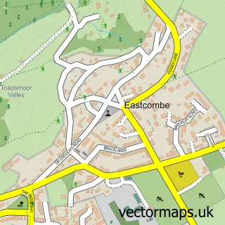
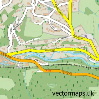
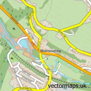
Nearby street map samples around Bussage

More street maps in Gloucestershire
750 metre map area coverage
Boundary, postcode and point of interest information for the 750m x 750m rectangle centred on this sample map.
Boundaries containing map centre
Constituency: Stroud Co Const
County: Gloucestershire County
District: Stroud District
Icb: NHS Gloucestershire ICB
Parish: Chalford CP
Police Force: gloucestershire
Postcode District: GL6
Postcode Sector: GL6 8
Ward: Chalford Ward
Nearby boundaries intersecting sample
Constituency: North Cotswolds Co Const
Parish: Bisley-with-Lypiatt CP
Postcode Sector: GL6 7
Ward: Bisley Ward
Postcode coverage
POI category counts
Elementary School: 2
Professional Services: 2
Scout Hall: 2
Advertising Agency: 1
Attractions And Activities: 1
Bakery: 1
Bar: 1
Bathroom Remodeling: 1
Beauty And Spa: 1
Blacksmiths: 1
Sample points of interest
- Martek Design
- Eastcombe Allotments
- Janettes celebration cakes
- Cotswold Mobile Bar Hire
- Lifestyle Bathrooms Ltd.
- Cotswold Beauty | Mobile Beauty Therapist
- Valley Forge
- Heavenly Windows & Conservatories
- Jemela Ltd.
- Aberlink Ltd
- Manor Chinese Takeaway
- Maid 2 Measure
Create a larger editable map of Bussage
This sample shows only a 750 metre area. To create a larger map of Bussage, use our map builder to choose your own coverage area, add titles and download editable SVG, PDF and PNG files.
Create a custom map of Bussage