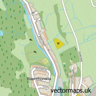
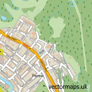
This Blaencwm street map is a detailed vector street map covering a 750m x 750m area. Select a larger area to create and download your own vector street map of Blaencwm.
The 750-metre map sample for Blaencwm covers 69 mapped buildings and approximately 4.6 km of road detail, of which 9 named roads are named. The immediate area includes 1 GP surgery within 2 miles and 2 MOT stations within 2 miles. The wider area around Blaencwm features 1 tourism point of interest and 1 hotel. To create a larger or custom map of Blaencwm, the map builder lets you define your own coverage area and download editable SVG, PDF and PNG files.
Create a larger editable map of Blaencwm
Choose any area you need and generate a high-quality vector map instantly. Perfect for print, planning, design, business and personal use.

This Blaencwm street map in Mid Glamorgan is available as downloadable SVG, PDF and PNG map files, or as a printed map for planning, business, display, education, local information and design work. You can also create a larger custom map area using the map selector.
What this Blaencwm map sample shows
Blaencwm lies within Treherbert Community parish, part of Treherbert ward in the Rhondda Cynon Taf - Rhondda Cynon Taf local authority area. The postcode geography for this area includes the CF postcode area, the CF42 postcode district and the CF42 5 postcode sector. Residents fall under the Cwm Taf University Health Board for NHS services.
Local features near Blaencwm
Within 2 milesAmenities and services in and around Blaencwm.
Administrative and postcode information for Blaencwm
Blaencwm lies within Treherbert Community parish, part of Treherbert ward in the Rhondda Cynon Taf - Rhondda Cynon Taf local authority area. The postcode geography for this area includes the CF postcode area, the CF42 postcode district and the CF42 5 postcode sector. Residents fall under the Cwm Taf University Health Board for NHS services.
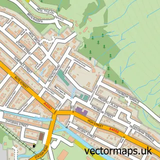
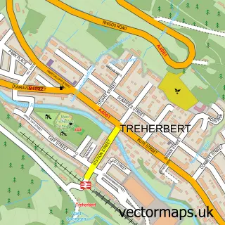
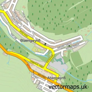
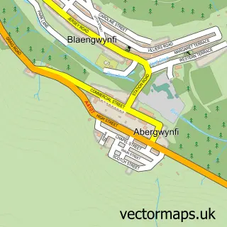
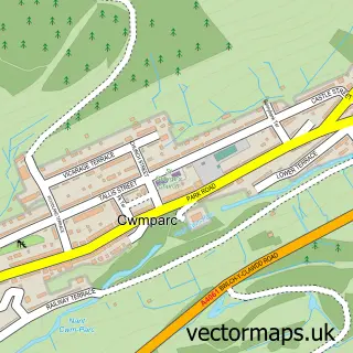
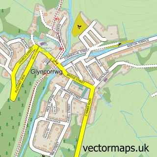
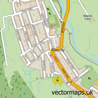
Nearby street map samples around Blaencwm

More street maps in Mid Glamorgan
750 metre map area coverage
Boundary, postcode and point of interest information for the 750m x 750m rectangle centred on this sample map.
Boundaries containing map centre
Constituency: Rhondda and Ogmore Co Const
District: Rhondda Cynon Taf - Rhondda Cynon Taf
Icb: Cwm Taf University
Parish: Treherbert Community
Police Force: south wales
Postcode District: CF42
Postcode Sector: CF42 5
Nearby boundaries intersecting sample
No additional intersecting boundaries found.
Postcode coverage
POI category counts
Bed And Breakfast: 2
Auto Body Shop: 1
Cleaning Services: 1
Cottage: 1
Education: 1
Equestrian Facility: 1
Fitness Trainer: 1
Hotel: 1
Landmark And Historical Building: 1
Sample points of interest
- Old School Engineering
- Hendre Wen Hotel
- T Y Draw Farm Bed & Breakfast & Riding Stables
- Total FM Support Services Ltd.
- Daffodil Cottage
- Blaen-Y-Cwm Primary School
- Ty Draw Farm Equestrian
- Fitness with Julie
- The Hendrewen Hotel
- Blaencwm
Create a larger editable map of Blaencwm
This sample shows only a 750 metre area. To create a larger map of Blaencwm, use our map builder to choose your own coverage area, add titles and download editable SVG, PDF and PNG files.
Create a custom map of Blaencwm