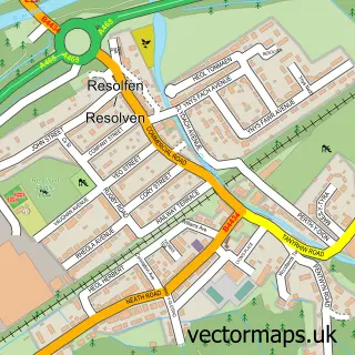
This Glyncorrwg street map is a detailed vector street map covering a 750m x 750m area. Select a larger area to create and download your own vector street map of Glyncorrwg.
The 750-metre map sample for Glyncorrwg covers 243 mapped buildings and approximately 17.3 km of road detail, of which 26 named roads are named. The immediate area includes 1 school, 1 pub and 1 MOT station within 2 miles. The wider area around Glyncorrwg features 1 tourism point of interest, 2 food and drink venues and 1 campsite within 2 miles. To create a larger or custom map of Glyncorrwg, the map builder lets you define your own coverage area and download editable SVG, PDF and PNG files.
Create a larger editable map of Glyncorrwg
Choose any area you need and generate a high-quality vector map instantly. Perfect for print, planning, design, business and personal use.

This Glyncorrwg street map in West Glamorgan is available as downloadable SVG, PDF and PNG map files, or as a printed map for planning, business, display, education, local information and design work. You can also create a larger custom map area using the map selector.
What this Glyncorrwg map sample shows
Glyncorrwg lies within Cymer And Glyncorrwg Community parish, part of Glyncorrwg ward in the Castell-Nedd Port Talbot - Neath Port Talbot local authority area. The postcode geography for this area includes the SA postcode area, the SA13 postcode district and the SA13 3 postcode sector. Residents fall under the Swansea Bay University Local Health Board for NHS services.
Local features near Glyncorrwg
Within 2 milesAmenities and services in and around Glyncorrwg.
Administrative and postcode information for Glyncorrwg
Glyncorrwg lies within Cymer And Glyncorrwg Community parish, part of Glyncorrwg ward in the Castell-Nedd Port Talbot - Neath Port Talbot local authority area. The postcode geography for this area includes the SA postcode area, the SA13 postcode district and the SA13 3 postcode sector. Residents fall under the Swansea Bay University Local Health Board for NHS services.
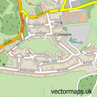
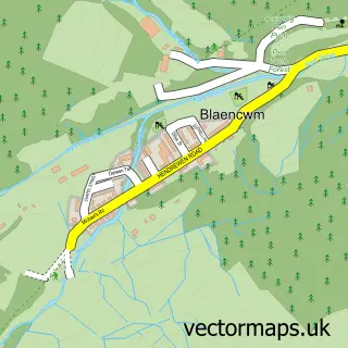
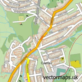
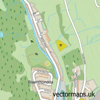
Nearby street map samples around Glyncorrwg
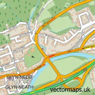

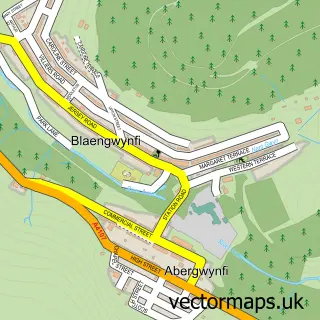
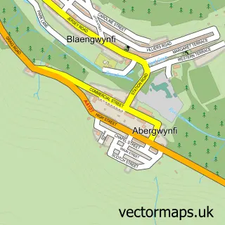
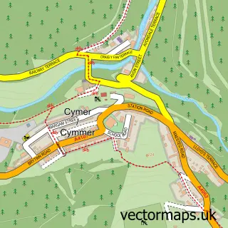
More street maps in West Glamorgan
750 metre map area coverage
Boundary, postcode and point of interest information for the 750m x 750m rectangle centred on this sample map.
Boundaries containing map centre
Constituency: Aberafan Maesteg Co Const
District: Castell-nedd Port Talbot - Neath Port Talbot
Icb: Abertawe Bro Morgannwg University
Parish: Cymer and Glyncorrwg Community
Police Force: south wales
Postcode District: SA13
Postcode Sector: SA13 3
Nearby boundaries intersecting sample
No additional intersecting boundaries found.
Postcode coverage
POI category counts
Hobby Shop: 3
Guest House: 2
Holiday Rental Home: 2
Bridal Shop: 1
Cafe: 1
Charity Organization: 1
Contractor: 1
Discount Store: 1
Educational Services: 1
It Service And Computer Repair: 1
Sample points of interest
- Stenmorr Photography
- The Drop Off Cafe
- Noddfa Community Centre Glyncorrwg
- Conservatory World Wales
- Village Discount Stores
- A Change of Gear Driving School free 1st hour driving lesso
- Tai Skyline Houses
- Ty Skyline House
- Glyncorrwg Post Office
- Post Office-Glyncorrwg
- Post Office-Glyncorrwg
- Skyline House
Create a larger editable map of Glyncorrwg
This sample shows only a 750 metre area. To create a larger map of Glyncorrwg, use our map builder to choose your own coverage area, add titles and download editable SVG, PDF and PNG files.
Create a custom map of Glyncorrwg