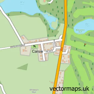
This Blairgowrie and Rattray street map is a detailed vector street map covering a 750m x 750m area. Select a larger area to create and download your own vector street map of Blairgowrie and Rattray.
The 750-metre map sample for Blairgowrie and Rattray covers 251 mapped buildings and approximately 23.7 km of road detail, of which 57 named roads are named. The immediate area includes 2 GP surgeries within 2 miles, 6 pubs and 3 MOT stations, with 4 within 2 miles. The wider area around Blairgowrie and Rattray features 4 tourism points of interest, 17 food and drink venues and 10 hotels. To create a larger or custom map of Blairgowrie and Rattray, the map builder lets you define your own coverage area and download editable SVG, PDF and PNG files.
Create a larger editable map of Blairgowrie and Rattray
Choose any area you need and generate a high-quality vector map instantly. Perfect for print, planning, design, business and personal use.

This Blairgowrie and Rattray street map in Perth and Kinross is available as downloadable SVG, PDF and PNG map files, or as a printed map for planning, business, display, education, local information and design work. You can also create a larger custom map area using the map selector.
What this Blairgowrie and Rattray map sample shows
Blairgowrie and Rattray lies within Perth And Kinross parish, part of Blairgowrie And Glens ward in the Perth And Kinross local authority area. The postcode geography for this area includes the PH postcode area, the PH10 postcode district and the PH10 6 postcode sector. Residents fall under the Tayside for NHS services.
Local features near Blairgowrie and Rattray
Within 2 milesAmenities and services in and around Blairgowrie and Rattray.
Administrative and postcode information for Blairgowrie and Rattray
The local authority covering Blairgowrie and Rattray is Perth And Kinross, within the county of Perth And Kinross. The settlement lies within Blairgowrie And Glens ward and Perth And Kinross civil parish. The PH10 postcode district and PH10 6 postcode sector serve the immediate area. NHS provision in the area is delivered through Tayside.
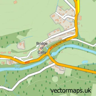
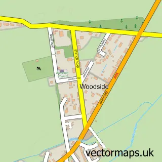
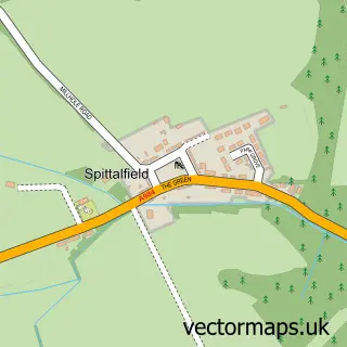
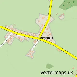
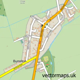
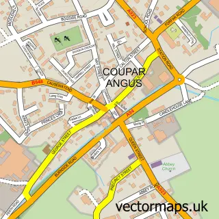
Nearby street map samples around Blairgowrie and Rattray

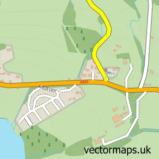
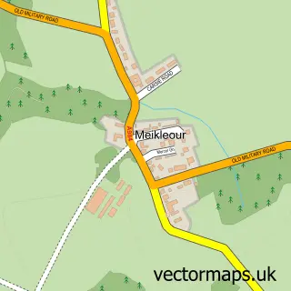
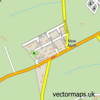
More street maps in Perth and Kinross
750 metre map area coverage
Boundary, postcode and point of interest information for the 750m x 750m rectangle centred on this sample map.
Boundaries containing map centre
Constituency: Angus and Perthshire Glens Co Const
District: Perth and Kinross
Icb: Tayside
Postcode District: PH10
Postcode Sector: PH10 6
Ward: Blairgowrie and Glens Ward
Nearby boundaries intersecting sample
Postcode Sector: PH10 7
Postcode coverage
POI category counts
Hotel: 10
Professional Services: 8
Hair Salon: 7
Pub: 6
Restaurant: 6
Antique Store: 5
Barber: 5
Beauty Salon: 5
Community Services Non Profits: 5
Bank Credit Union: 4
Sample points of interest
- Neil Rodney
- Marketing Socail media
- 10Clickpayday
- Allsorts
- Blythswood Care
- Gallimaufry Antiques
- Nest Creative Spaces Community Interest Company
- The Vintage Vault
- W.M.Coupar-Euronics
- Drewett Gallery
- Lorna Pirrie Artist
- Rosemount
Create a larger editable map of Blairgowrie and Rattray
This sample shows only a 750 metre area. To create a larger map of Blairgowrie and Rattray, use our map builder to choose your own coverage area, add titles and download editable SVG, PDF and PNG files.
Create a custom map of Blairgowrie and Rattray