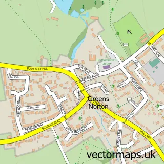
This Blakesley street map is a detailed vector street map covering a 750m x 750m area. Select a larger area to create and download your own vector street map of Blakesley.
The 750-metre map sample for Blakesley covers 199 mapped buildings and approximately 21.5 km of road detail, of which 11 named roads are named. The immediate area includes 1 school, 1 pub and 1 MOT station. The wider area around Blakesley features 1 food and drink venue. To create a larger or custom map of Blakesley, the map builder lets you define your own coverage area and download editable SVG, PDF and PNG files.
Create a larger editable map of Blakesley
Choose any area you need and generate a high-quality vector map instantly. Perfect for print, planning, design, business and personal use.

This Blakesley street map in Northamptonshire is available as downloadable SVG, PDF and PNG map files, or as a printed map for planning, business, display, education, local information and design work. You can also create a larger custom map area using the map selector.
What this Blakesley map sample shows
Blakesley lies within Blakesley Cp parish, part of Blakesley And Cote ward in the West Northamptonshire local authority area. The postcode geography for this area includes the NN postcode area, the NN12 postcode district and the NN12 8 postcode sector. Residents fall under the Nhs Northamptonshire Integrated Care Board for NHS services.
Local features near Blakesley
Within 2 milesAmenities and services in and around Blakesley.
Administrative and postcode information for Blakesley
Blakesley lies within Blakesley Cp parish, part of Blakesley And Cote ward in the West Northamptonshire local authority area. The postcode geography for this area includes the NN postcode area, the NN12 postcode district and the NN12 8 postcode sector. Residents fall under the Nhs Northamptonshire Integrated Care Board for NHS services.
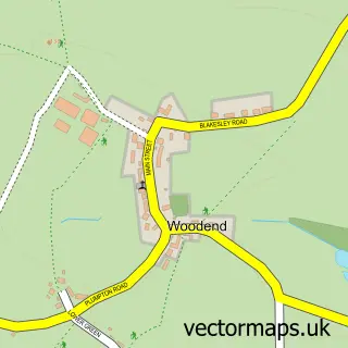
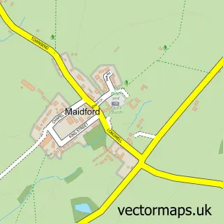
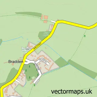
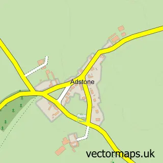
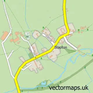
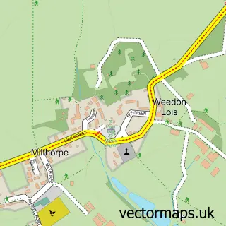
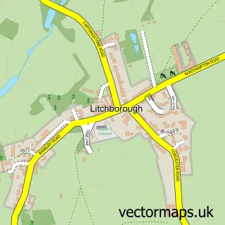
Nearby street map samples around Blakesley

More street maps in Northamptonshire
750 metre map area coverage
Boundary, postcode and point of interest information for the 750m x 750m rectangle centred on this sample map.
Boundaries containing map centre
Constituency: South Northamptonshire Co Const
District: West Northamptonshire
Icb: NHS Northamptonshire ICB
Parish: Blakesley CP
Police Force: northamptonshire
Postcode District: NN12
Postcode Sector: NN12 8
Ward: Rural South Northamptonshire Ward
Nearby boundaries intersecting sample
Parish: Woodend CP
Postcode coverage
POI category counts
Automotive Repair: 2
Post Office: 2
Advertising Agency: 1
Anglican Church: 1
Art Gallery: 1
Auto Restoration Services: 1
Bed And Breakfast: 1
Community Center: 1
Convenience Store: 1
Currency Exchange: 1
Sample points of interest
- Digirach
- St Mary
- The Portrait Gallery
- The Garage At Blakesley
- Blakesley Garage
- The Garage at Blakesley
- Kendal House Bed & Breakfast
- Blakesley & Woodend Village Hall
- Browns Of Blakesley
- Post Office Travel Money
- Blakesley Church of England Primary School
- The Granary Health & Fitness
Create a larger editable map of Blakesley
This sample shows only a 750 metre area. To create a larger map of Blakesley, use our map builder to choose your own coverage area, add titles and download editable SVG, PDF and PNG files.
Create a custom map of Blakesley