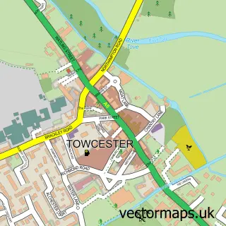
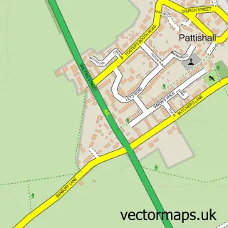
This Greens Norton street map is a detailed vector street map covering a 750m x 750m area. Select a larger area to create and download your own vector street map of Greens Norton.
The 750-metre map sample for Greens Norton covers 359 mapped buildings and approximately 25.7 km of road detail, of which 25 named roads are named. The immediate area includes 1 school, 2 GP surgeries within 2 miles, 1 pub and 1 MOT station, with 3 within 2 miles. The wider area around Greens Norton features 1 tourism point of interest and 1 food and drink venue. To create a larger or custom map of Greens Norton, the map builder lets you define your own coverage area and download editable SVG, PDF and PNG files.
Create a larger editable map of Greens Norton
Choose any area you need and generate a high-quality vector map instantly. Perfect for print, planning, design, business and personal use.

This Greens Norton street map in Northamptonshire is available as downloadable SVG, PDF and PNG map files, or as a printed map for planning, business, display, education, local information and design work. You can also create a larger custom map area using the map selector.
What this Greens Norton map sample shows
Greens Norton lies within Greens Norton Cp parish, part of Kingthorn ward in the West Northamptonshire local authority area. The postcode geography for this area includes the NN postcode area, the NN12 postcode district and the NN12 8 postcode sector. Residents fall under the Nhs Northamptonshire Integrated Care Board for NHS services.
Local features near Greens Norton
Within 2 milesAmenities and services in and around Greens Norton.
Administrative and postcode information for Greens Norton
Greens Norton lies within Greens Norton Cp parish, part of Kingthorn ward in the West Northamptonshire local authority area. The postcode geography for this area includes the NN postcode area, the NN12 postcode district and the NN12 8 postcode sector. Residents fall under the Nhs Northamptonshire Integrated Care Board for NHS services.
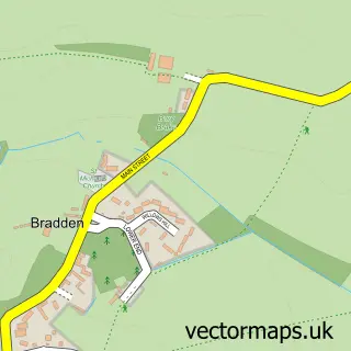
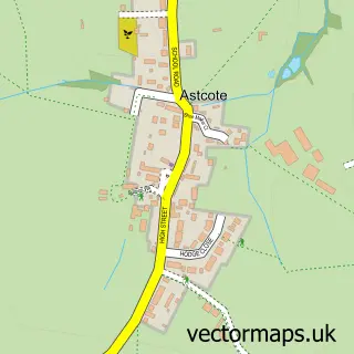
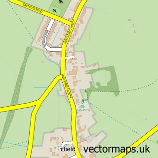
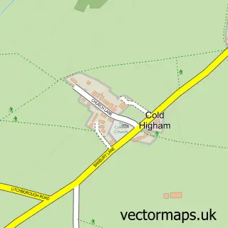
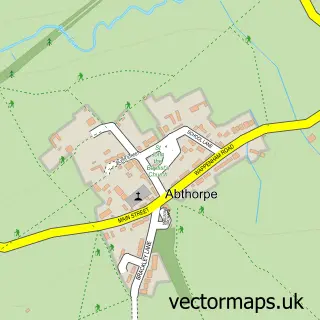
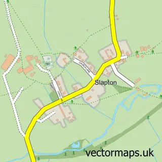
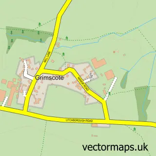
Nearby street map samples around Greens Norton

More street maps in Northamptonshire
750 metre map area coverage
Boundary, postcode and point of interest information for the 750m x 750m rectangle centred on this sample map.
Boundaries containing map centre
Constituency: South Northamptonshire Co Const
District: West Northamptonshire
Icb: NHS Northamptonshire ICB
Parish: Greens Norton CP
Police Force: northamptonshire
Postcode District: NN12
Postcode Sector: NN12 8
Ward: Rural South Northamptonshire Ward
Nearby boundaries intersecting sample
No additional intersecting boundaries found.
Postcode coverage
POI category counts
Butcher Shop: 2
Doctor: 2
Home Service: 2
Land Surveying: 2
Post Office: 2
Professional Services: 2
Social Service Organizations: 2
Automotive Repair: 1
Child Care And Day Care: 1
Chiropractor: 1
Sample points of interest
- Towcester Classic Cars
- Hunt Of Greens Norton
- Julian Hunt
- Hedgehog Hill Organic Nursery School
- Back to Balance Chiropractic
- St Bartholomew's Church
- Greens Norton Community Centre
- Greens Norton Cricket Club
- Post Office Travel Money
- Greens Norton Medical Centre
- Greens Norton Medical Centre
- Greens Norton Church of England Primary School
Create a larger editable map of Greens Norton
This sample shows only a 750 metre area. To create a larger map of Greens Norton, use our map builder to choose your own coverage area, add titles and download editable SVG, PDF and PNG files.
Create a custom map of Greens Norton