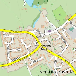
This Towcester street map is a detailed vector street map covering a 750m x 750m area. Select a larger area to create and download your own vector street map of Towcester.
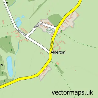
The 750-metre map sample for Towcester covers 245 mapped buildings and approximately 23.1 km of road detail, of which 26 named roads are named. The immediate area includes 1 school, 2 GP surgeries within 2 miles, 9 pubs and 1 MOT station, with 3 within 2 miles. The wider area around Towcester features 5 tourism points of interest, 19 food and drink venues and 1 hotel. To create a larger or custom map of Towcester, the map builder lets you define your own coverage area and download editable SVG, PDF and PNG files.
Create a larger editable map of Towcester
Choose any area you need and generate a high-quality vector map instantly. Perfect for print, planning, design, business and personal use.

This Towcester street map in Northamptonshire is available as downloadable SVG, PDF and PNG map files, or as a printed map for planning, business, display, education, local information and design work. You can also create a larger custom map area using the map selector.
What this Towcester map sample shows
Towcester lies within Towcester Cp parish, part of Towcester Mill ward in the West Northamptonshire local authority area. The postcode geography for this area includes the NN postcode area, the NN12 postcode district and the NN12 6 postcode sector. Residents fall under the Nhs Northamptonshire Integrated Care Board for NHS services.
Local features near Towcester
Within 2 milesAmenities and services in and around Towcester.
Administrative and postcode information for Towcester
Towcester lies within Towcester Cp parish, part of Towcester Mill ward in the West Northamptonshire local authority area. The postcode geography for this area includes the NN postcode area, the NN12 postcode district and the NN12 6 postcode sector. Residents fall under the Nhs Northamptonshire Integrated Care Board for NHS services.
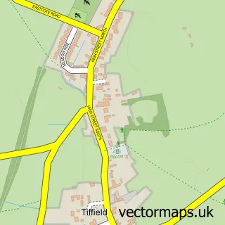
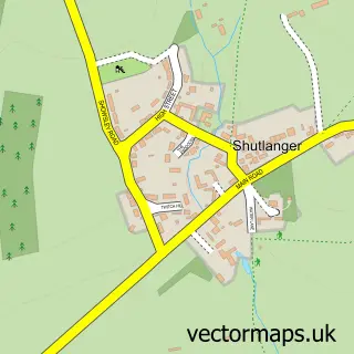
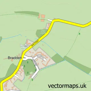
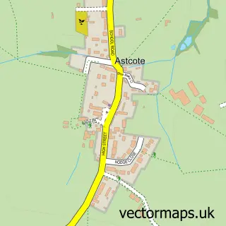
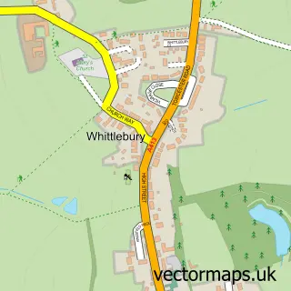
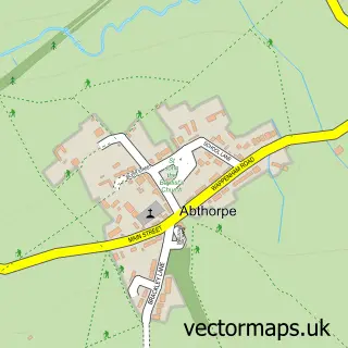
Nearby street map samples around Towcester

More street maps in Northamptonshire
750 metre map area coverage
Boundary, postcode and point of interest information for the 750m x 750m rectangle centred on this sample map.
Boundaries containing map centre
Constituency: South Northamptonshire Co Const
District: West Northamptonshire
Icb: NHS Northamptonshire ICB
Parish: Towcester CP
Police Force: northamptonshire
Postcode District: NN12
Postcode Sector: NN12 6
Ward: Towcester Ward
Nearby boundaries intersecting sample
Parish: Easton Neston CP
Postcode Sector: NN12 7, NN12 8
Postcode coverage
POI category counts
Professional Services: 11
Real Estate Agent: 10
Beauty Salon: 9
Pub: 9
Bank Credit Union: 6
Hair Salon: 6
Automotive Repair: 5
Cafe: 5
Funeral Services And Cemeteries: 5
Church Cathedral: 4
Sample points of interest
- CED Accountancy Services
- Cobalt
- Dodo & Co
- Your iHub
- RSPCA
- Age UK
- Samurai Art - David Thatcher
- Willen Hospice Shop Towcester
- Watling Street Galleries
- Cre8Towcester
- Waitrose Towcester 1 (BFF)
- The Watermeadows
Create a larger editable map of Towcester
This sample shows only a 750 metre area. To create a larger map of Towcester, use our map builder to choose your own coverage area, add titles and download editable SVG, PDF and PNG files.
Create a custom map of Towcester