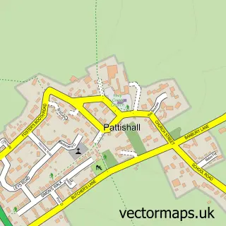
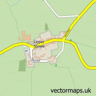
This Cold Higham street map is a detailed vector street map covering a 750m x 750m area. Select a larger area to create and download your own vector street map of Cold Higham.
The 750-metre map sample for Cold Higham covers 33 mapped buildings and approximately 11.9 km of road detail, of which 3 named roads are named. The immediate area includes 2 MOT stations within 2 miles. To create a larger or custom map of Cold Higham, the map builder lets you define your own coverage area and download editable SVG, PDF and PNG files.
Create a larger editable map of Cold Higham
Choose any area you need and generate a high-quality vector map instantly. Perfect for print, planning, design, business and personal use.

This Cold Higham street map in Northamptonshire is available as downloadable SVG, PDF and PNG map files, or as a printed map for planning, business, display, education, local information and design work. You can also create a larger custom map area using the map selector.
What this Cold Higham map sample shows
Cold Higham lies within Cold Higham Cp parish, part of Blakesley And Cote ward in the West Northamptonshire local authority area. The postcode geography for this area includes the NN postcode area, the NN12 postcode district and the NN12 8 postcode sector. Residents fall under the Nhs Northamptonshire Integrated Care Board for NHS services.
Local features near Cold Higham
Within 2 milesAmenities and services in and around Cold Higham.
Administrative and postcode information for Cold Higham
The local authority covering Cold Higham is West Northamptonshire, within the county of Northamptonshire. The settlement lies within Blakesley And Cote ward and Cold Higham Cp civil parish. The NN12 postcode district and NN12 8 postcode sector serve the immediate area. NHS provision in the area is delivered through Northampton General Hospital Nhs Trust.
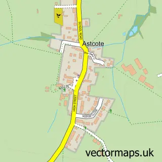
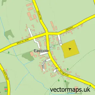
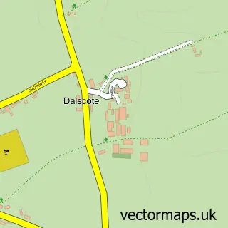
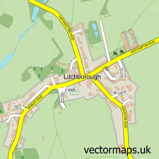
Nearby street map samples around Cold Higham

More street maps in Northamptonshire
750 metre map area coverage
Boundary, postcode and point of interest information for the 750m x 750m rectangle centred on this sample map.
Boundaries containing map centre
Constituency: South Northamptonshire Co Const
District: West Northamptonshire
Icb: NHS Northamptonshire ICB
Parish: Cold Higham CP
Police Force: northamptonshire
Postcode District: NN12
Postcode Sector: NN12 8
Ward: Rural South Northamptonshire Ward
Nearby boundaries intersecting sample
Parish: Pattishall CP
Ward: Towcester Ward
Postcode coverage
POI category counts
Massage Therapy: 2
Anglican Church: 1
Church Cathedral: 1
Food Beverage Service Distribution: 1
Grocery Store: 1
Home Health Care: 1
Sample points of interest
- St Luke, Cold Higham
- Parish Church of Saint Luke Cold Higham
- Weddel Swift
- Fishing on Line Limited
- Friendly Support Services
- Move Massage Pro
- Pain & Injury Clinic
Create a larger editable map of Cold Higham
This sample shows only a 750 metre area. To create a larger map of Cold Higham, use our map builder to choose your own coverage area, add titles and download editable SVG, PDF and PNG files.
Create a custom map of Cold Higham