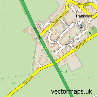
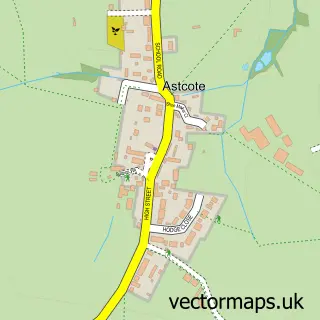
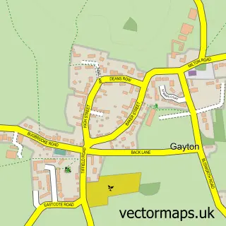
This Pattishall street map is a detailed vector street map covering a 750m x 750m area. Select a larger area to create and download your own vector street map of Pattishall.
The 750-metre map sample for Pattishall covers 249 mapped buildings and approximately 16.2 km of road detail, of which 18 named roads are named. The immediate area includes 1 MOT station, with 2 within 2 miles. To create a larger or custom map of Pattishall, the map builder lets you define your own coverage area and download editable SVG, PDF and PNG files.
Create a larger editable map of Pattishall
Choose any area you need and generate a high-quality vector map instantly. Perfect for print, planning, design, business and personal use.

This Pattishall street map in Northamptonshire is available as downloadable SVG, PDF and PNG map files, or as a printed map for planning, business, display, education, local information and design work. You can also create a larger custom map area using the map selector.
What this Pattishall map sample shows
Pattishall lies within Pattishall Cp parish, part of Blakesley And Cote ward in the West Northamptonshire local authority area. The postcode geography for this area includes the NN postcode area, the NN12 postcode district and the NN12 8 postcode sector. Residents fall under the Nhs Northamptonshire Integrated Care Board for NHS services.
Local features near Pattishall
Within 2 milesAmenities and services in and around Pattishall.
Administrative and postcode information for Pattishall
Pattishall lies within Pattishall Cp parish, part of Blakesley And Cote ward in the West Northamptonshire local authority area. The postcode geography for this area includes the NN postcode area, the NN12 postcode district and the NN12 8 postcode sector. Residents fall under the Nhs Northamptonshire Integrated Care Board for NHS services.
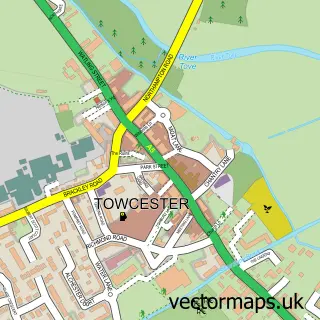
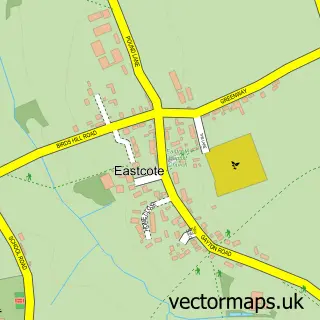
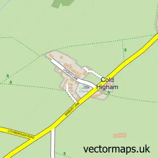
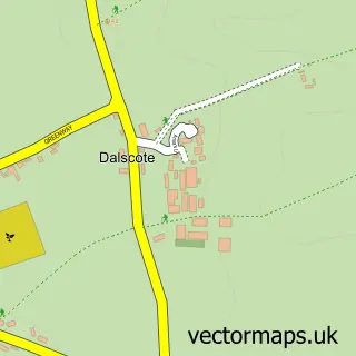
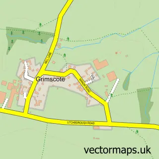
Nearby street map samples around Pattishall

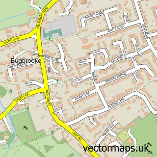
More street maps in Northamptonshire
750 metre map area coverage
Boundary, postcode and point of interest information for the 750m x 750m rectangle centred on this sample map.
Boundaries containing map centre
Constituency: South Northamptonshire Co Const
District: West Northamptonshire
Icb: NHS Northamptonshire ICB
Parish: Pattishall CP
Police Force: northamptonshire
Postcode District: NN12
Postcode Sector: NN12 8
Ward: Towcester Ward
Nearby boundaries intersecting sample
Parish: Cold Higham CP
Ward: Rural South Northamptonshire Ward
Postcode coverage
POI category counts
Building Supply Store: 2
Education: 2
Employment Agencies: 2
Pet Sitting: 2
Anglican Church: 1
Assisted Living Facility: 1
Automotive Repair: 1
Business Consulting: 1
Church Cathedral: 1
Contractor: 1
Sample points of interest
- Holy Cross, Pattishall
- Westgate House Nursing Home
- Towcester Vehicle Services
- Ceiling Works
- Manning Construction Northampton
- CWM C
- Holy Cross Church
- Aj Design & Build
- X-Right Engineering
- Alicia Tutors
- Northamptonshire County Council
- G M D People Ltd.
Create a larger editable map of Pattishall
This sample shows only a 750 metre area. To create a larger map of Pattishall, use our map builder to choose your own coverage area, add titles and download editable SVG, PDF and PNG files.
Create a custom map of Pattishall