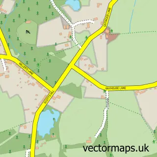
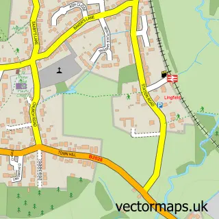
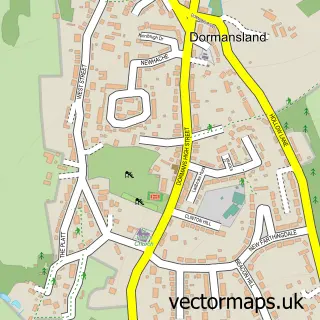
This Blindley Heath street map is a detailed vector street map covering a 750m x 750m area. Select a larger area to create and download your own vector street map of Blindley Heath.
The 750-metre map sample for Blindley Heath covers 184 mapped buildings and approximately 5.7 km of road detail, of which 6 named roads are named. The immediate area includes 1 MOT station, with 2 within 2 miles. The wider area around Blindley Heath features 1 campsite within 2 miles. To create a larger or custom map of Blindley Heath, the map builder lets you define your own coverage area and download editable SVG, PDF and PNG files.
Create a larger editable map of Blindley Heath
Choose any area you need and generate a high-quality vector map instantly. Perfect for print, planning, design, business and personal use.

This Blindley Heath street map in Surrey is available as downloadable SVG, PDF and PNG map files, or as a printed map for planning, business, display, education, local information and design work. You can also create a larger custom map area using the map selector.
What this Blindley Heath map sample shows
Blindley Heath lies within Godstone Cp parish, part of Godstone ward in the Tandridge District local authority area. The postcode geography for this area includes the RH postcode area, the RH7 postcode district and the RH7 6 postcode sector. Residents fall under the Nhs Surrey Heartlands Integrated Care Board for NHS services.
Local features near Blindley Heath
Within 2 milesAmenities and services in and around Blindley Heath.
Administrative and postcode information for Blindley Heath
Blindley Heath lies within Godstone Cp parish, part of Godstone ward in the Tandridge District local authority area. The postcode geography for this area includes the RH postcode area, the RH7 postcode district and the RH7 6 postcode sector. Residents fall under the Nhs Surrey Heartlands Integrated Care Board for NHS services.
Nearby street map samples around Blindley Heath

More street maps in Surrey
750 metre map area coverage
Boundary, postcode and point of interest information for the 750m x 750m rectangle centred on this sample map.
Boundaries containing map centre
Constituency: East Surrey Co Const
County: Surrey County
District: Tandridge District
Icb: NHS Surrey and Sussex ICB
Parish: Godstone CP
Police Force: surrey
Postcode District: RH7
Postcode Sector: RH7 6
Ward: Godstone Ward
Nearby boundaries intersecting sample
No additional intersecting boundaries found.
Postcode coverage
POI category counts
Anglican Church: 2
Driving School: 2
Preschool: 2
Automotive Dealer: 1
Contractor: 1
Corporate Office: 1
Dog Trainer: 1
Electrician: 1
Event Photography: 1
Farm: 1
Sample points of interest
- Blindley Heath, St John the Evangelist
- St John's Church
- The Motorcycle Centre
- A J Construction
- Waterman Aspen Ltd.
- Cleverpaws Dog Training
- Charles Nobes Driving Instructor
- Driving Instructor Charles Nobes
- Top Notch Electrical
- Mark Roberts Motion Control
- Barters Farm
- R. Exall & Sons Ltd
Create a larger editable map of Blindley Heath
This sample shows only a 750 metre area. To create a larger map of Blindley Heath, use our map builder to choose your own coverage area, add titles and download editable SVG, PDF and PNG files.
Create a custom map of Blindley Heath