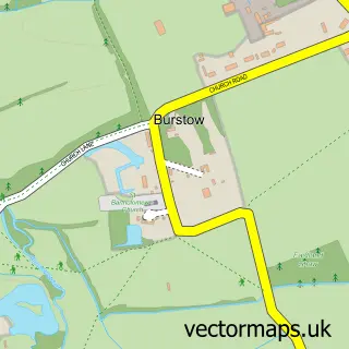
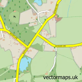
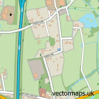
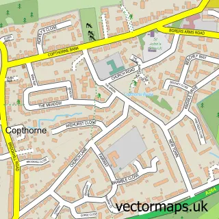
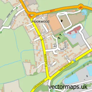
This Smallfield street map is a detailed vector street map covering a 750m x 750m area. Select a larger area to create and download your own vector street map of Smallfield.
The 750-metre map sample for Smallfield covers 420 mapped buildings and approximately 13.2 km of road detail, of which 26 named roads are named. The immediate area includes 1 school, 1 GP surgery and 1 MOT station, with 8 within 2 miles. The wider area around Smallfield features 2 food and drink venues. To create a larger or custom map of Smallfield, the map builder lets you define your own coverage area and download editable SVG, PDF and PNG files.
Create a larger editable map of Smallfield
Choose any area you need and generate a high-quality vector map instantly. Perfect for print, planning, design, business and personal use.

This Smallfield street map in Surrey is available as downloadable SVG, PDF and PNG map files, or as a printed map for planning, business, display, education, local information and design work. You can also create a larger custom map area using the map selector.
What this Smallfield map sample shows
Smallfield lies within Burstow Cp parish, part of Burstow, Horne And Outwood ward in the Tandridge District local authority area. The postcode geography for this area includes the RH postcode area, the RH6 postcode district and the RH6 9 postcode sector. Residents fall under the Nhs Surrey Heartlands Integrated Care Board for NHS services.
Local features near Smallfield
Within 2 milesAmenities and services in and around Smallfield.
Administrative and postcode information for Smallfield
Smallfield lies within Burstow Cp parish, part of Burstow, Horne And Outwood ward in the Tandridge District local authority area. The postcode geography for this area includes the RH postcode area, the RH6 postcode district and the RH6 9 postcode sector. Residents fall under the Nhs Surrey Heartlands Integrated Care Board for NHS services.
Nearby street map samples around Smallfield

More street maps in Surrey
750 metre map area coverage
Boundary, postcode and point of interest information for the 750m x 750m rectangle centred on this sample map.
Boundaries containing map centre
Constituency: East Surrey Co Const
County: Surrey County
District: Tandridge District
Icb: NHS Surrey and Sussex ICB
Parish: Burstow CP
Police Force: surrey
Postcode District: RH6
Postcode Sector: RH6 9
Ward: Burstow, Horne & Outwood Ward
Nearby boundaries intersecting sample
No additional intersecting boundaries found.
Postcode coverage
POI category counts
Automotive Repair: 5
Retail: 4
Church Cathedral: 3
Butcher Shop: 2
Cafe: 2
Contractor: 2
Convenience Store: 2
Doctor: 2
Gas Station: 2
Gym: 2
Sample points of interest
- I C a
- General Vending Services
- The Cooperative Food (BF) Smallfield (ERF), Redehall Road
- Ashton's Garage
- Smallfield Garage Ltd
- T J Cars
- Timing Chain Gatwick
- Woodlands Garage
- H2O
- James A Harris & Son
- James A. Harris Quality Butchers
- Deli Me Aladdin
Create a larger editable map of Smallfield
This sample shows only a 750 metre area. To create a larger map of Smallfield, use our map builder to choose your own coverage area, add titles and download editable SVG, PDF and PNG files.
Create a custom map of Smallfield