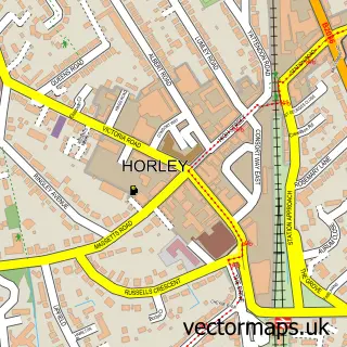
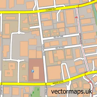
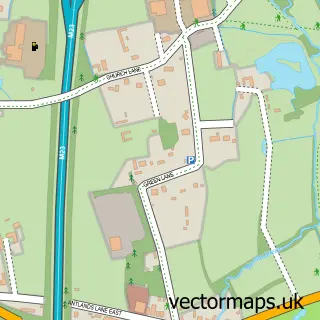
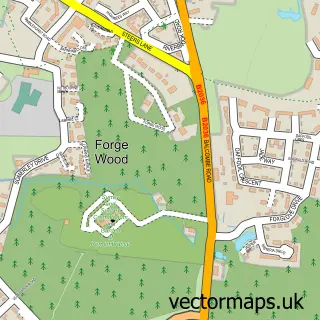
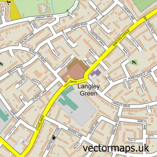
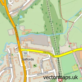
This Hookwood street map is a detailed vector street map covering a 750m x 750m area. Select a larger area to create and download your own vector street map of Hookwood.
The 750-metre map sample for Hookwood covers 225 mapped buildings and approximately 11.2 km of road detail, of which 14 named roads are named. The immediate area includes 1 GP surgery within 2 miles and 1 MOT station, with 8 within 2 miles. The wider area around Hookwood features 5 food and drink venues and 1 campsite within 2 miles. To create a larger or custom map of Hookwood, the map builder lets you define your own coverage area and download editable SVG, PDF and PNG files.
Create a larger editable map of Hookwood
Choose any area you need and generate a high-quality vector map instantly. Perfect for print, planning, design, business and personal use.

This Hookwood street map in Surrey is available as downloadable SVG, PDF and PNG map files, or as a printed map for planning, business, display, education, local information and design work. You can also create a larger custom map area using the map selector.
What this Hookwood map sample shows
Hookwood lies within Charlwood Cp parish, part of Charlwood ward in the Mole Valley District local authority area. The postcode geography for this area includes the RH postcode area, the RH6 postcode district and the RH6 0 postcode sector. Residents fall under the Nhs Surrey Heartlands Integrated Care Board for NHS services.
Local features near Hookwood
Within 2 milesAmenities and services in and around Hookwood.
Administrative and postcode information for Hookwood
The local authority covering Hookwood is Mole Valley District, within the county of Surrey. The settlement lies within Charlwood ward and Charlwood Cp civil parish. The RH6 postcode district and RH6 0 postcode sector serve the immediate area. NHS provision in the area is delivered through Surrey And Sussex Healthcare Nhs Trust.
Nearby street map samples around Hookwood

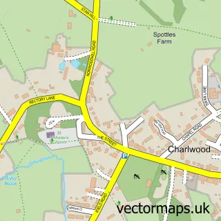
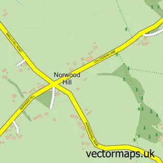
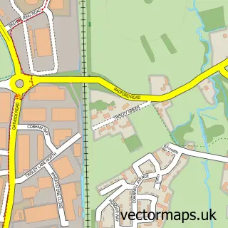
More street maps in Surrey
750 metre map area coverage
Boundary, postcode and point of interest information for the 750m x 750m rectangle centred on this sample map.
Boundaries containing map centre
Constituency: Dorking and Horley Co Const
County: Surrey County
District: Mole Valley District
Icb: NHS Surrey and Sussex ICB
Parish: Charlwood CP
Police Force: surrey
Postcode District: RH6
Postcode Sector: RH6 0
Ward: Capel, Leigh, Newdigate & Charlwood Ward
Nearby boundaries intersecting sample
Constituency: Crawley Boro Const
County: West Sussex County
District: Crawley District (B)
Police Force: sussex
Ward: Langley Green & Tushmore Ward
Postcode coverage
POI category counts
Doctor: 4
Car Rental Agency: 3
Coffee Shop: 3
Gas Station: 3
Physical Therapy: 3
Automotive: 2
Automotive Repair: 2
Building Supply Store: 2
Car Wash: 2
Church Cathedral: 2
Sample points of interest
- The Bentley Partnership
- SMART decision wheels
- Surrey Tuning
- Horley Vehicle Servicing
- Smart Decision Paintwork Repair Ltd
- Tesco Travel Money
- Gould Barbers
- Aesthetic Visual Result
- The Garden Sanctuary
- Three Acres Gatwick
- Fairalls Builders' Merchants Ltd
- Infinity Carpentry & Construction
Create a larger editable map of Hookwood
This sample shows only a 750 metre area. To create a larger map of Hookwood, use our map builder to choose your own coverage area, add titles and download editable SVG, PDF and PNG files.
Create a custom map of Hookwood