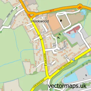
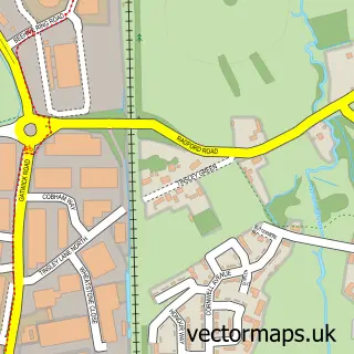
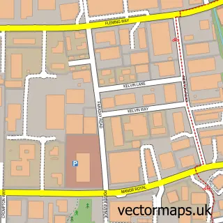
This Horley street map is a detailed vector street map covering a 750m x 750m area. Select a larger area to create and download your own vector street map of Horley.
The 750-metre map sample for Horley covers 463 mapped buildings and approximately 19.4 km of road detail, of which 37 named roads are named. The immediate area includes 1 school, 1 railway station, 1 GP surgery, with 2 within 2 miles and 6 pubs among other local services. The wider area around Horley features 3 tourism points of interest, 20 food and drink venues and 3 hotels. To create a larger or custom map of Horley, the map builder lets you define your own coverage area and download editable SVG, PDF and PNG files.
Create a larger editable map of Horley
Choose any area you need and generate a high-quality vector map instantly. Perfect for print, planning, design, business and personal use.

This Horley street map in Surrey is available as downloadable SVG, PDF and PNG map files, or as a printed map for planning, business, display, education, local information and design work. You can also create a larger custom map area using the map selector.
What this Horley map sample shows
Horley lies within Horley Cp parish, part of Horley Central & South ward in the Reigate And Banstead District (B) local authority area. The postcode geography for this area includes the RH postcode area, the RH6 postcode district and the RH6 9 postcode sector. Residents fall under the Nhs Surrey Heartlands Integrated Care Board for NHS services.
Local features near Horley
Within 2 milesAmenities and services in and around Horley.
Administrative and postcode information for Horley
The local authority covering Horley is Reigate And Banstead District (B), within the county of Surrey. The settlement lies within Horley Central & South ward and Horley Cp civil parish. The RH6 postcode district and RH6 9 postcode sector serve the immediate area. NHS provision in the area is delivered through Surrey And Sussex Healthcare Nhs Trust.
Nearby street map samples around Horley

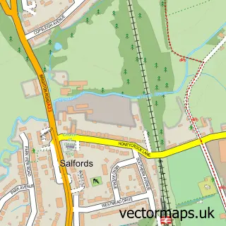
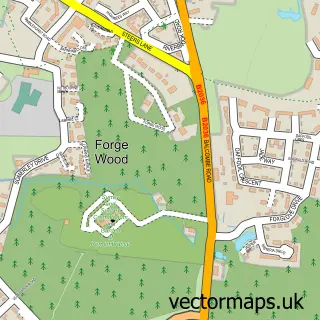
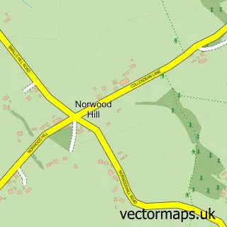
More street maps in Surrey
750 metre map area coverage
Boundary, postcode and point of interest information for the 750m x 750m rectangle centred on this sample map.
Boundaries containing map centre
Constituency: Dorking and Horley Co Const
County: Surrey County
District: Reigate and Banstead District (B)
Icb: NHS Surrey and Sussex ICB
Parish: Horley CP
Police Force: surrey
Postcode District: RH6
Postcode Sector: RH6 7
Ward: Horley Central & South Ward
Nearby boundaries intersecting sample
Postcode Sector: RH6 9
Ward: Horley East & Salfords Ward, Horley West & Sidlow Ward
Postcode coverage
POI category counts
Beauty Salon: 12
Real Estate Agent: 12
Bank Credit Union: 8
Indian Restaurant: 8
Barber: 7
Coffee Shop: 7
Dentist: 7
Cafe: 6
Chinese Restaurant: 6
Doctor: 6
Sample points of interest
- LGW Crew Base
- The Quadrangle
- Alexanders Accountants
- Elzey Accounting
- Lewin & Co Accountants Limited
- Milestones Accountancy Solutions
- Promark Pr & Marketing
- Horley Ambulance Community Response Post
- Bizzies Lizzies
- Rainbow Pottery
- Bonito Pan Asian
- Magnolia Court
Create a larger editable map of Horley
This sample shows only a 750 metre area. To create a larger map of Horley, use our map builder to choose your own coverage area, add titles and download editable SVG, PDF and PNG files.
Create a custom map of Horley