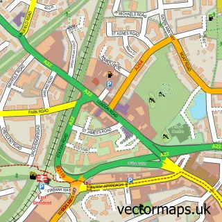
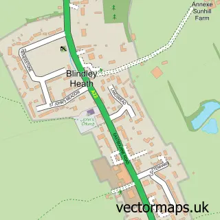
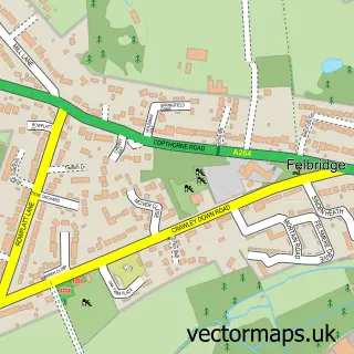
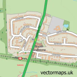
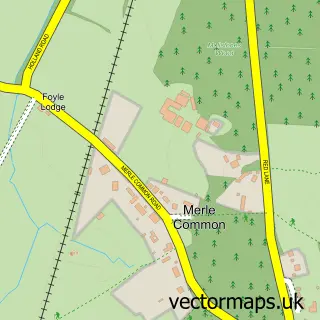
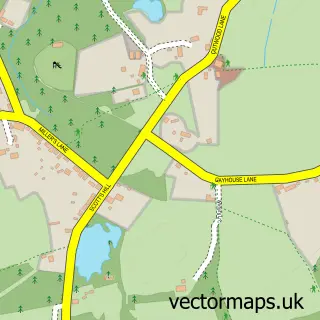
This Lingfield street map is a detailed vector street map covering a 750m x 750m area. Select a larger area to create and download your own vector street map of Lingfield.
The 750-metre map sample for Lingfield covers 280 mapped buildings and approximately 8.0 km of road detail, of which 16 named roads are named. The immediate area includes 1 railway station, 1 GP surgery within 2 miles and 1 pub. The wider area around Lingfield features 1 food and drink venue and 1 campsite within 2 miles. To create a larger or custom map of Lingfield, the map builder lets you define your own coverage area and download editable SVG, PDF and PNG files.
Create a larger editable map of Lingfield
Choose any area you need and generate a high-quality vector map instantly. Perfect for print, planning, design, business and personal use.

This Lingfield street map in Surrey is available as downloadable SVG, PDF and PNG map files, or as a printed map for planning, business, display, education, local information and design work. You can also create a larger custom map area using the map selector.
What this Lingfield map sample shows
Lingfield lies within Lingfield Cp parish, part of Lingfield And Crowhurst ward in the Tandridge District local authority area. The postcode geography for this area includes the RH postcode area, the RH7 postcode district and the RH7 6 postcode sector. Residents fall under the Nhs Surrey Heartlands Integrated Care Board for NHS services.
Local features near Lingfield
Within 2 milesAmenities and services in and around Lingfield.
Administrative and postcode information for Lingfield
Lingfield lies within Lingfield Cp parish, part of Lingfield And Crowhurst ward in the Tandridge District local authority area. The postcode geography for this area includes the RH postcode area, the RH7 postcode district and the RH7 6 postcode sector. Residents fall under the Nhs Surrey Heartlands Integrated Care Board for NHS services.
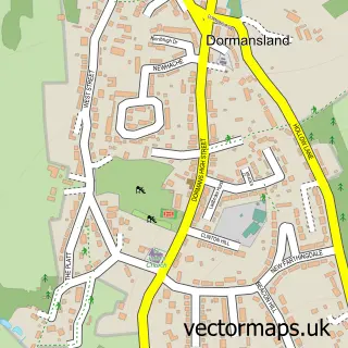
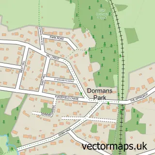
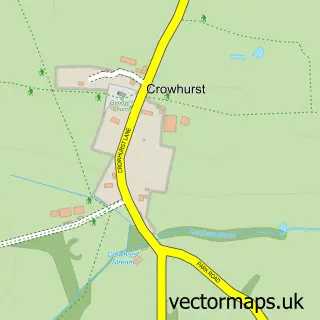
Nearby street map samples around Lingfield

More street maps in Surrey
750 metre map area coverage
Boundary, postcode and point of interest information for the 750m x 750m rectangle centred on this sample map.
Boundaries containing map centre
Constituency: East Surrey Co Const
County: Surrey County
District: Tandridge District
Icb: NHS Surrey and Sussex ICB
Parish: Lingfield CP
Police Force: surrey
Postcode District: RH7
Postcode Sector: RH7 6
Ward: Lingfield, Crowhurst & Tandridge Ward
Nearby boundaries intersecting sample
Parish: Dormansland CP
Ward: Dormansland & Felbridge Ward
Postcode coverage
POI category counts
Church Cathedral: 3
Professional Services: 3
It Service And Computer Repair: 2
Library: 2
Package Locker: 2
Anglican Church: 1
Architectural Designer: 1
Automotive Services And Repair: 1
Boxing Class: 1
Community Center: 1
Sample points of interest
- Lingfield, St Peter & St Paul
- Nicolas Timms Associates
- Town Hill It Limited
- Compound Club
- Lingfield Parish Church
- St Peter And St Paul
- St. Peter's and St. Paul's Church
- Lingfield and Dormansland Community Centre
- Lingfield Larder
- LJE Modular Maintenance
- Gatwick Home Tutors
- Screen Electrical Limited
Create a larger editable map of Lingfield
This sample shows only a 750 metre area. To create a larger map of Lingfield, use our map builder to choose your own coverage area, add titles and download editable SVG, PDF and PNG files.
Create a custom map of Lingfield