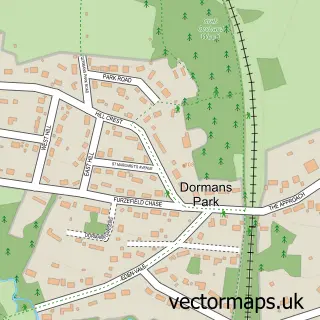
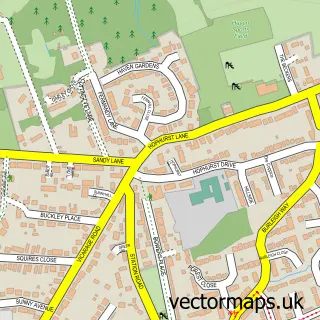
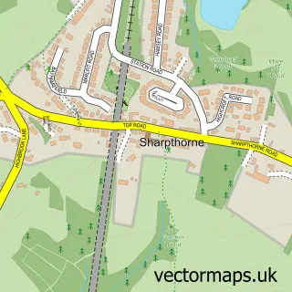
This East Grinstead street map is a detailed vector street map covering a 750m x 750m area. Select a larger area to create and download your own vector street map of East Grinstead.
The 750-metre map sample for East Grinstead covers 347 mapped buildings and approximately 20.2 km of road detail, of which 38 named roads are named. The immediate area includes 1 railway station, 1 GP surgery, 2 pubs and 2 MOT stations, with 7 within 2 miles. The wider area around East Grinstead features 4 tourism points of interest, 17 food and drink venues and 3 hotels. To create a larger or custom map of East Grinstead, the map builder lets you define your own coverage area and download editable SVG, PDF and PNG files.
Create a larger editable map of East Grinstead
Choose any area you need and generate a high-quality vector map instantly. Perfect for print, planning, design, business and personal use.

This East Grinstead street map in West Sussex is available as downloadable SVG, PDF and PNG map files, or as a printed map for planning, business, display, education, local information and design work. You can also create a larger custom map area using the map selector.
What this East Grinstead map sample shows
East Grinstead lies within East Grinstead Cp parish, part of East Grinstead Town ward in the Mid Sussex District local authority area. The postcode geography for this area includes the RH postcode area, the RH19 postcode district and the RH19 1 postcode sector. Residents fall under the Nhs Sussex Integrated Care Board for NHS services.
Local features near East Grinstead
Within 2 milesAmenities and services in and around East Grinstead.
Administrative and postcode information for East Grinstead
The local authority covering East Grinstead is Mid Sussex District, within the county of West Sussex. The settlement lies within East Grinstead Town ward and East Grinstead Cp civil parish. The RH19 postcode district and RH19 1 postcode sector serve the immediate area. NHS provision in the area is delivered through Surrey And Sussex Healthcare Nhs Trust.
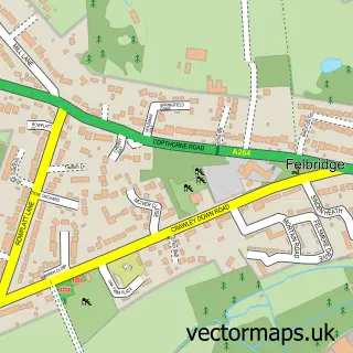
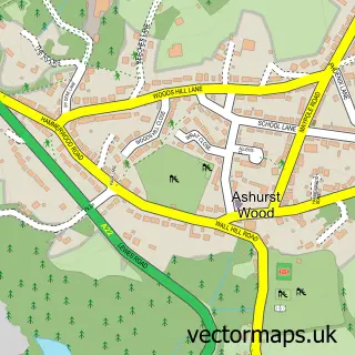
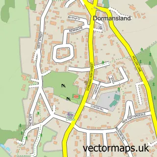
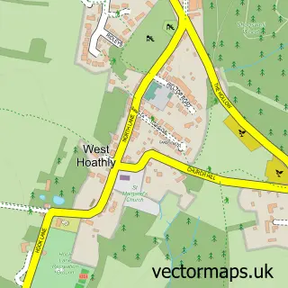
Nearby street map samples around East Grinstead

More street maps in West Sussex
750 metre map area coverage
Boundary, postcode and point of interest information for the 750m x 750m rectangle centred on this sample map.
Boundaries containing map centre
Constituency: East Grinstead and Uckfield Co Const
County: West Sussex County
District: Mid Sussex District
Icb: NHS Surrey and Sussex ICB
Parish: East Grinstead CP
Police Force: sussex
Postcode District: RH19
Postcode Sector: RH19 1
Ward: East Grinstead Town Ward
Nearby boundaries intersecting sample
Postcode Sector: RH19 2, RH19 3
Ward: East Grinstead Ashplats Ward, East Grinstead Baldwins Ward, East Grinstead Imberhorne Ward
Postcode coverage
POI category counts
Professional Services: 11
Dentist: 9
Beauty Salon: 8
Real Estate Agent: 8
Church Cathedral: 7
Coffee Shop: 7
Convenience Store: 7
Gas Station: 7
Restaurant: 7
Building Supply Store: 6
Sample points of interest
- Elemental Acupuncture
- BoostOnline UK Group
- Newacre House
- Tsp Uk Ltd.
- Bob Stokes Cartoons
- Va-nak-kam | Restaurant In East Grinstead
- Rontec - Brooklands (SWAP)
- Firstgate Air-Conditioning Ltd.
- East Grinstead
- Halfords
- Clark MOT & Service Centre
- East Grinstead Auto Services
Create a larger editable map of East Grinstead
This sample shows only a 750 metre area. To create a larger map of East Grinstead, use our map builder to choose your own coverage area, add titles and download editable SVG, PDF and PNG files.
Create a custom map of East Grinstead