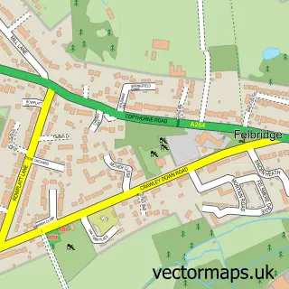
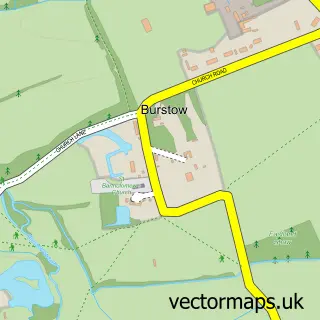
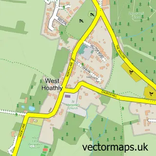
This Crawley Down street map is a detailed vector street map covering a 750m x 750m area. Select a larger area to create and download your own vector street map of Crawley Down.
The 750-metre map sample for Crawley Down covers 448 mapped buildings and approximately 14.0 km of road detail, of which 32 named roads are named. The immediate area includes 1 school, 1 GP surgery and 5 MOT stations within 2 miles. The wider area around Crawley Down features 1 food and drink venue. To create a larger or custom map of Crawley Down, the map builder lets you define your own coverage area and download editable SVG, PDF and PNG files.
Create a larger editable map of Crawley Down
Choose any area you need and generate a high-quality vector map instantly. Perfect for print, planning, design, business and personal use.

This Crawley Down street map in West Sussex is available as downloadable SVG, PDF and PNG map files, or as a printed map for planning, business, display, education, local information and design work. You can also create a larger custom map area using the map selector.
What this Crawley Down map sample shows
Crawley Down lies within Worth Cp parish, part of Crawley Down And Turners Hill ward in the Mid Sussex District local authority area. The postcode geography for this area includes the RH postcode area, the RH10 postcode district and the RH10 4 postcode sector. Residents fall under the Nhs Sussex Integrated Care Board for NHS services.
Local features near Crawley Down
Within 2 milesAmenities and services in and around Crawley Down.
Administrative and postcode information for Crawley Down
Crawley Down lies within Worth Cp parish, part of Crawley Down And Turners Hill ward in the Mid Sussex District local authority area. The postcode geography for this area includes the RH postcode area, the RH10 postcode district and the RH10 4 postcode sector. Residents fall under the Nhs Sussex Integrated Care Board for NHS services.
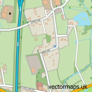
Nearby street map samples around Crawley Down

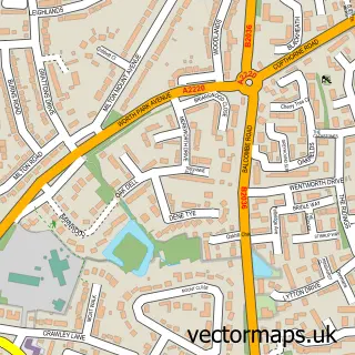
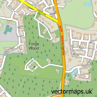
More street maps in West Sussex
750 metre map area coverage
Boundary, postcode and point of interest information for the 750m x 750m rectangle centred on this sample map.
Boundaries containing map centre
Constituency: East Grinstead and Uckfield Co Const
County: West Sussex County
District: Mid Sussex District
Icb: NHS Surrey and Sussex ICB
Parish: Worth CP
Police Force: sussex
Postcode District: RH10
Postcode Sector: RH10 4
Ward: Crawley Down Ward
Nearby boundaries intersecting sample
No additional intersecting boundaries found.
Postcode coverage
POI category counts
Education: 3
Electrician: 3
Community Center: 2
Doctor: 2
Hair Salon: 2
Martial Arts Club: 2
Bar: 1
Beauty And Spa: 1
Cafe: 1
Community Services Non Profits: 1
Sample points of interest
- Haven Lounge & Bar
- Beckies Bridal Hair
- Haven Cafe Bar
- Crawley Down Community Centre Association
- The Haven Centre
- CDRA
- Cooke & Charman
- Crawley Down Health Centre
- Modality Mid Sussex
- Burleigh Infant School
- EOS Training
- Worth Training
Create a larger editable map of Crawley Down
This sample shows only a 750 metre area. To create a larger map of Crawley Down, use our map builder to choose your own coverage area, add titles and download editable SVG, PDF and PNG files.
Create a custom map of Crawley Down