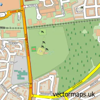
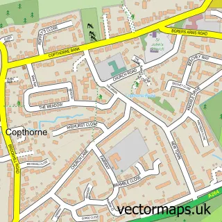
This Pound Hill street map is a detailed vector street map covering a 750m x 750m area. Select a larger area to create and download your own vector street map of Pound Hill.
The 750-metre map sample for Pound Hill covers 458 mapped buildings and approximately 20.9 km of road detail, of which 49 named roads are named. The immediate area includes 2 schools, 5 GP surgeries within 2 miles, 1 pub and 25 MOT stations within 2 miles. The wider area around Pound Hill features 1 tourism point of interest, 2 food and drink venues and 1 hotel. To create a larger or custom map of Pound Hill, the map builder lets you define your own coverage area and download editable SVG, PDF and PNG files.
Create a larger editable map of Pound Hill
Choose any area you need and generate a high-quality vector map instantly. Perfect for print, planning, design, business and personal use.

This Pound Hill street map in West Sussex is available as downloadable SVG, PDF and PNG map files, or as a printed map for planning, business, display, education, local information and design work. You can also create a larger custom map area using the map selector.
What this Pound Hill map sample shows
Pound Hill lies within West Sussex County parish, part of Pound Hill South & Worth ward in the Crawley District (B) local authority area. The postcode geography for this area includes the RH postcode area, the RH10 postcode district and the RH10 7 postcode sector. Residents fall under the Nhs Sussex Integrated Care Board for NHS services.
Local features near Pound Hill
Within 2 milesAmenities and services in and around Pound Hill.
Administrative and postcode information for Pound Hill
The local authority covering Pound Hill is Crawley District (B), within the county of West Sussex. The settlement lies within Pound Hill South & Worth ward and West Sussex County civil parish. The RH10 postcode district and RH10 7 postcode sector serve the immediate area. NHS provision in the area is delivered through Surrey And Sussex Healthcare Nhs Trust.
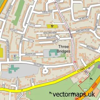
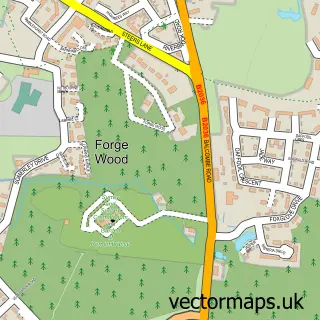
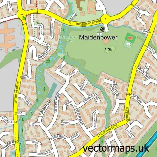
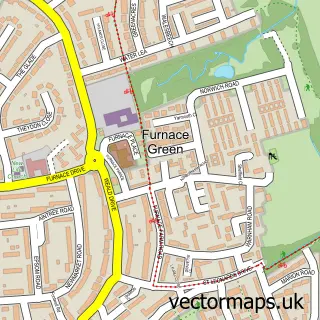
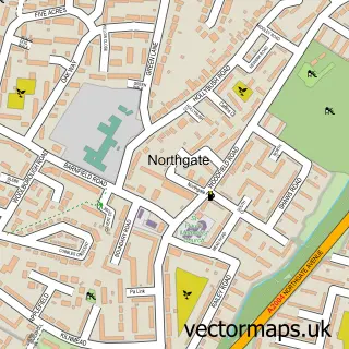
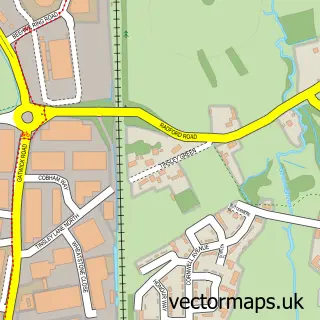
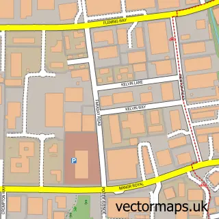
Nearby street map samples around Pound Hill

More street maps in West Sussex
750 metre map area coverage
Boundary, postcode and point of interest information for the 750m x 750m rectangle centred on this sample map.
Boundaries containing map centre
Constituency: Crawley Boro Const
County: West Sussex County
District: Crawley District (B)
Icb: NHS Surrey and Sussex ICB
Police Force: sussex
Postcode District: RH10
Postcode Sector: RH10 7
Ward: Pound Hill South & Worth Ward
Nearby boundaries intersecting sample
Postcode Sector: RH10 3
Ward: Pound Hill North & Forge Wood Ward
Postcode coverage
POI category counts
It Service And Computer Repair: 4
Electrician: 2
Elementary School: 2
Professional Services: 2
Advertising Agency: 1
Anglican Church: 1
Assisted Living Facility: 1
Auto Detailing: 1
Beauty Product Supplier: 1
Beauty Salon: 1
Sample points of interest
- The Research Factor
- St Barnabas Church
- The Acorns
- Laszlo Car Detailing /Mobile Car Detailing/
- Jarmans
- The Hair Shed
- Mount Cycles
- Toddlers at St Barnabas
- Budgens
- Chart Lane
- Hope Renewed Counselling
- Sussex School of Performing Arts
Create a larger editable map of Pound Hill
This sample shows only a 750 metre area. To create a larger map of Pound Hill, use our map builder to choose your own coverage area, add titles and download editable SVG, PDF and PNG files.
Create a custom map of Pound Hill