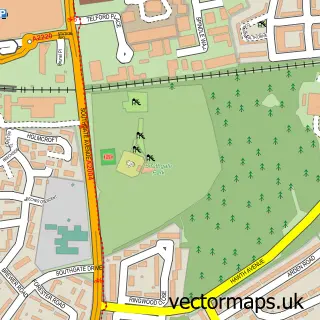
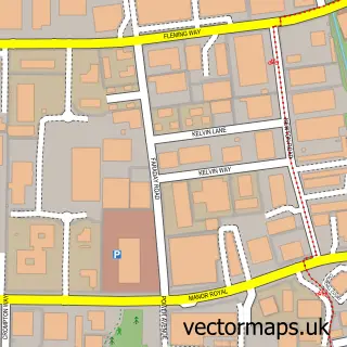
This Maidenbower street map is a detailed vector street map covering a 750m x 750m area. Select a larger area to create and download your own vector street map of Maidenbower.
The 750-metre map sample for Maidenbower covers 477 mapped buildings and approximately 25.0 km of road detail, of which 57 named roads are named. The immediate area includes 1 primary school and 1 secondary school, 6 GP surgeries within 2 miles and 8 MOT stations within 2 miles. The wider area around Maidenbower features 1 tourism point of interest. To create a larger or custom map of Maidenbower, the map builder lets you define your own coverage area and download editable SVG, PDF and PNG files.
Create a larger editable map of Maidenbower
Choose any area you need and generate a high-quality vector map instantly. Perfect for print, planning, design, business and personal use.

This Maidenbower street map in West Sussex is available as downloadable SVG, PDF and PNG map files, or as a printed map for planning, business, display, education, local information and design work. You can also create a larger custom map area using the map selector.
What this Maidenbower map sample shows
Maidenbower lies within West Sussex County parish, part of Pound Hill South & Worth ward in the Crawley District (B) local authority area. The postcode geography for this area includes the RH postcode area, the RH10 postcode district and the RH10 7 postcode sector. Residents fall under the Nhs Sussex Integrated Care Board for NHS services.
Local features near Maidenbower
Within 2 milesAmenities and services in and around Maidenbower.
Administrative and postcode information for Maidenbower
The local authority covering Maidenbower is Crawley District (B), within the county of West Sussex. The settlement lies within Pound Hill South & Worth ward and West Sussex County civil parish. The RH10 postcode district and RH10 7 postcode sector serve the immediate area. NHS provision in the area is delivered through Surrey And Sussex Healthcare Nhs Trust.
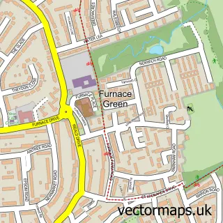
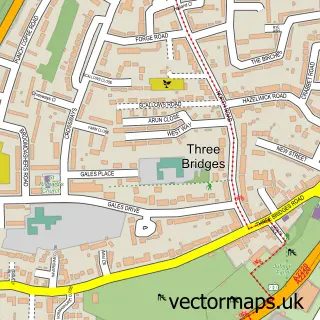
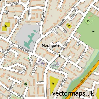
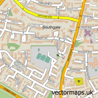
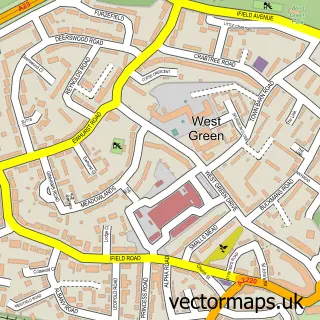
Nearby street map samples around Maidenbower

More street maps in West Sussex
750 metre map area coverage
Boundary, postcode and point of interest information for the 750m x 750m rectangle centred on this sample map.
Boundaries containing map centre
Constituency: Crawley Boro Const
County: West Sussex County
District: Crawley District (B)
Icb: NHS Surrey and Sussex ICB
Police Force: sussex
Postcode District: RH10
Postcode Sector: RH10 7
Ward: Maidenbower Ward
Nearby boundaries intersecting sample
Constituency: East Grinstead and Uckfield Co Const
District: Mid Sussex District
Parish: Worth CP
Ward: Copthorne & Worth Ward
Postcode coverage
POI category counts
Building Supply Store: 4
Beauty Salon: 3
Active Life: 2
Advertising Agency: 2
Elementary School: 2
Hair Salon: 2
Key And Locksmith: 2
Pet Groomer: 2
Veterinarian: 2
Accountant: 1
Sample points of interest
- R & N Accounting - Chartered Accountants
- Chrissy Harper Fitness
- Musical Hands
- IDEAlee Limited
- Turquoise Creative
- Crawley & Maidenbower Panthers FC
- Maidenbower Pavillion
- The Cooperative Food (BF) Maidenbower (ERF), Maidenbower Drive
- Coughlans Bakery
- Coco's
- Cuti-Calls
- Pinks Beauty Therapy
Create a larger editable map of Maidenbower
This sample shows only a 750 metre area. To create a larger map of Maidenbower, use our map builder to choose your own coverage area, add titles and download editable SVG, PDF and PNG files.
Create a custom map of Maidenbower