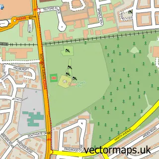
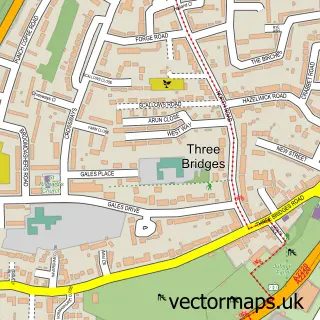
This Southgate street map is a detailed vector street map covering a 750m x 750m area. Select a larger area to create and download your own vector street map of Southgate.
The 750-metre map sample for Southgate covers 328 mapped buildings and approximately 20.6 km of road detail, of which 46 named roads are named. The immediate area includes 2 schools, 12 GP surgeries within 2 miles, 3 pubs and 14 MOT stations within 2 miles. The wider area around Southgate features 3 food and drink venues and 2 hotels. To create a larger or custom map of Southgate, the map builder lets you define your own coverage area and download editable SVG, PDF and PNG files.
Create a larger editable map of Southgate
Choose any area you need and generate a high-quality vector map instantly. Perfect for print, planning, design, business and personal use.

This Southgate street map in West Sussex is available as downloadable SVG, PDF and PNG map files, or as a printed map for planning, business, display, education, local information and design work. You can also create a larger custom map area using the map selector.
What this Southgate map sample shows
Southgate lies within West Sussex County parish, part of Broadfield ward in the Crawley District (B) local authority area. The postcode geography for this area includes the RH postcode area, the RH11 postcode district and the RH11 9 postcode sector. Residents fall under the Nhs Sussex Integrated Care Board for NHS services.
Local features near Southgate
Within 2 milesAmenities and services in and around Southgate.
Administrative and postcode information for Southgate
The local authority covering Southgate is Crawley District (B), within the county of West Sussex. The settlement lies within Broadfield ward and West Sussex County civil parish. The RH11 postcode district and RH11 9 postcode sector serve the immediate area. NHS provision in the area is delivered through Surrey And Sussex Healthcare Nhs Trust.
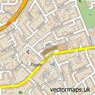
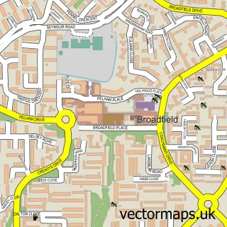
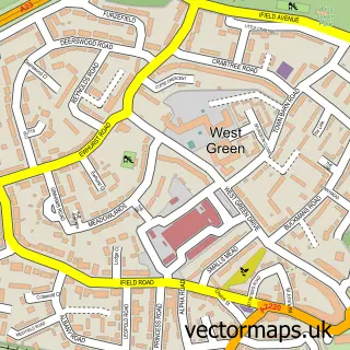
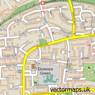
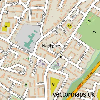
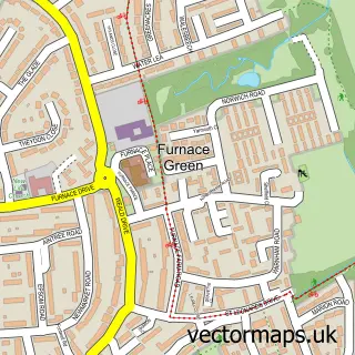
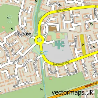
Nearby street map samples around Southgate

More street maps in West Sussex
750 metre map area coverage
Boundary, postcode and point of interest information for the 750m x 750m rectangle centred on this sample map.
Boundaries containing map centre
Constituency: Crawley Boro Const
County: West Sussex County
District: Crawley District (B)
Icb: NHS Surrey and Sussex ICB
Police Force: sussex
Postcode District: RH11
Postcode Sector: RH11 8
Ward: Southgate Ward
Nearby boundaries intersecting sample
Postcode District: RH10
Postcode Sector: RH10 6, RH11 9
Ward: Gossops Green & North East Broadfield Ward
Postcode coverage
POI category counts
Preschool: 3
Pub: 3
Assisted Living Facility: 2
Beauty Salon: 2
Dance School: 2
Electrician: 2
Elementary School: 2
Hotel: 2
Information Technology Company: 2
Personal Care Service: 2
Sample points of interest
- Wainwrights, Southgate
- Zhong Yi Clinic
- Henry's Table
- Oakhurst Grange Nursing Home
- Queens Lodge
- City.parts
- Carolyn Harvey - Cake Matters
- Stockcheck
- Charisma Beautique
- Regina Paar Lashes Couture
- Barrington Lodge
- Buzz Bingo
Create a larger editable map of Southgate
This sample shows only a 750 metre area. To create a larger map of Southgate, use our map builder to choose your own coverage area, add titles and download editable SVG, PDF and PNG files.
Create a custom map of Southgate