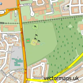
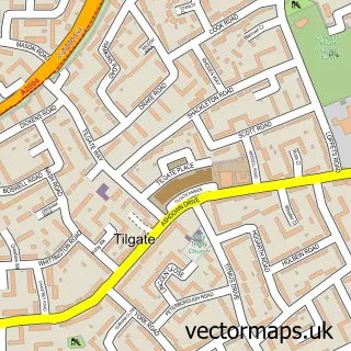
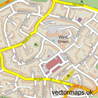
This Broadfield street map is a detailed vector street map covering a 750m x 750m area. Select a larger area to create and download your own vector street map of Broadfield.
The 750-metre map sample for Broadfield covers 304 mapped buildings and approximately 21.2 km of road detail, of which 46 named roads are named. The immediate area includes 1 school, 1 GP surgery, with 8 within 2 miles and 1 MOT station, with 10 within 2 miles. The wider area around Broadfield features 1 tourism point of interest and 2 food and drink venues. To create a larger or custom map of Broadfield, the map builder lets you define your own coverage area and download editable SVG, PDF and PNG files.
Create a larger editable map of Broadfield
Choose any area you need and generate a high-quality vector map instantly. Perfect for print, planning, design, business and personal use.

This Broadfield street map in West Sussex is available as downloadable SVG, PDF and PNG map files, or as a printed map for planning, business, display, education, local information and design work. You can also create a larger custom map area using the map selector.
What this Broadfield map sample shows
Broadfield lies within West Sussex County parish, part of Broadfield ward in the Crawley District (B) local authority area. The postcode geography for this area includes the RH postcode area, the RH11 postcode district and the RH11 9 postcode sector. Residents fall under the Nhs Sussex Integrated Care Board for NHS services.
Local features near Broadfield
Within 2 milesAmenities and services in and around Broadfield.
Administrative and postcode information for Broadfield
The local authority covering Broadfield is Crawley District (B), within the county of West Sussex. The settlement lies within Broadfield ward and West Sussex County civil parish. The RH11 postcode district and RH11 9 postcode sector serve the immediate area. NHS provision in the area is delivered through Surrey And Sussex Healthcare Nhs Trust.
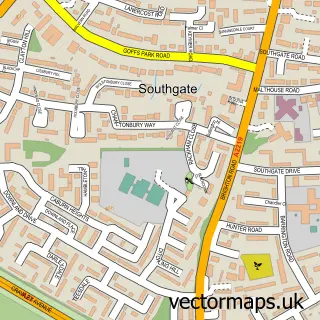
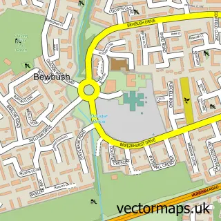
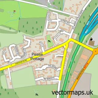
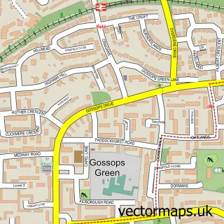
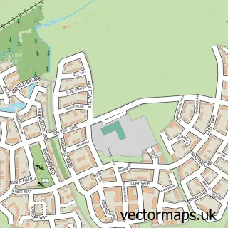
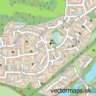
Nearby street map samples around Broadfield

More street maps in West Sussex
750 metre map area coverage
Boundary, postcode and point of interest information for the 750m x 750m rectangle centred on this sample map.
Boundaries containing map centre
Constituency: Crawley Boro Const
County: West Sussex County
District: Crawley District (B)
Icb: NHS Surrey and Sussex ICB
Police Force: sussex
Postcode District: RH11
Postcode Sector: RH11 9
Ward: Broadfield Ward
Nearby boundaries intersecting sample
Ward: Bewbush & North Broadfield Ward, Gossops Green & North East Broadfield Ward
Postcode coverage
POI category counts
Gas Station: 5
Convenience Store: 3
Dentist: 3
Martial Arts Club: 3
Automotive Repair: 2
Beauty Salon: 2
Church Cathedral: 2
Doctor: 2
Grocery Store: 2
It Service And Computer Repair: 2
Sample points of interest
- Christ the Lord Broadfield
- Relate
- Rontec - Broadfield Service Station (SWAP), Broadfield
- Premier Electrics
- 1 Stop Garage
- 1 Stop Garage
- Cakes by Karen Pease Pottage
- GJ Cosmetic Beauty
- Blades hair and beauty
- Orchid Beauty & Aesthetics
- Coral
- P H Window Cleaning Services
Create a larger editable map of Broadfield
This sample shows only a 750 metre area. To create a larger map of Broadfield, use our map builder to choose your own coverage area, add titles and download editable SVG, PDF and PNG files.
Create a custom map of Broadfield