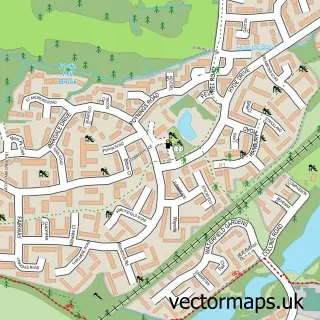
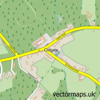
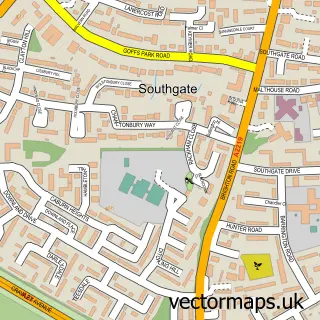
This Kilnwood Vale street map is a detailed vector street map covering a 750m x 750m area. Select a larger area to create and download your own vector street map of Kilnwood Vale.
The 750-metre map sample for Kilnwood Vale covers 318 mapped buildings and approximately 13.2 km of road detail, of which 29 named roads are named. The immediate area includes 1 school, 5 GP surgeries within 2 miles and 7 MOT stations within 2 miles. The wider area around Kilnwood Vale features 1 tourism point of interest and 1 hotel. To create a larger or custom map of Kilnwood Vale, the map builder lets you define your own coverage area and download editable SVG, PDF and PNG files.
Create a larger editable map of Kilnwood Vale
Choose any area you need and generate a high-quality vector map instantly. Perfect for print, planning, design, business and personal use.

This Kilnwood Vale street map in West Sussex is available as downloadable SVG, PDF and PNG map files, or as a printed map for planning, business, display, education, local information and design work. You can also create a larger custom map area using the map selector.
What this Kilnwood Vale map sample shows
Kilnwood Vale lies within Colgate Cp parish, part of Colgate & Rusper ward in the Horsham District local authority area. The postcode geography for this area includes the RH postcode area, the RH12 postcode district and the RH12 4 postcode sector. Residents fall under the Nhs Sussex Integrated Care Board for NHS services.
Local features near Kilnwood Vale
Within 2 milesAmenities and services in and around Kilnwood Vale.
Administrative and postcode information for Kilnwood Vale
Kilnwood Vale lies within Colgate Cp parish, part of Colgate & Rusper ward in the Horsham District local authority area. The postcode geography for this area includes the RH postcode area, the RH12 postcode district and the RH12 4 postcode sector. Residents fall under the Nhs Sussex Integrated Care Board for NHS services.
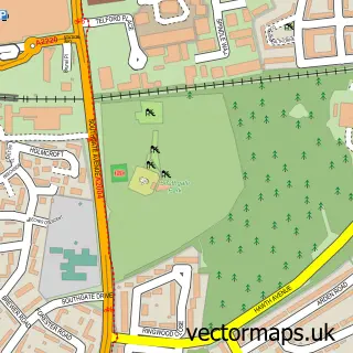
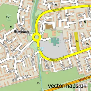
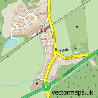
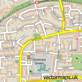
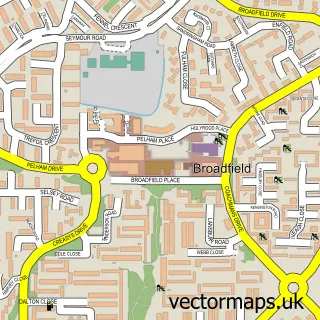
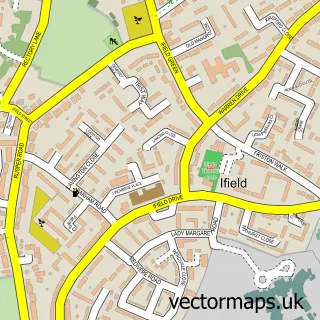
Nearby street map samples around Kilnwood Vale

More street maps in West Sussex
750 metre map area coverage
Boundary, postcode and point of interest information for the 750m x 750m rectangle centred on this sample map.
Boundaries containing map centre
Constituency: Horsham Co Const
County: West Sussex County
District: Horsham District
Icb: NHS Surrey and Sussex ICB
Parish: Colgate CP
Police Force: sussex
Postcode District: RH11
Postcode Sector: RH11 6
Ward: Colgate & Rusper Ward
Nearby boundaries intersecting sample
Constituency: Crawley Boro Const
District: Crawley District (B)
Parish: Rusper CP
Postcode District: RH12
Postcode Sector: RH11 0, RH12 4
Ward: Bewbush & North Broadfield Ward
Postcode coverage
POI category counts
Beauty Salon: 2
Business Consulting: 1
Caterer: 1
Dog Trainer: 1
Elementary School: 1
Hotel: 1
International Business And Trade Services: 1
Park: 1
Physical Therapy: 1
Sports Club And League: 1
Sample points of interest
- Amor Advanced Aesthetics and Beauty
- Tanned & Beautiful
- Momentum Digital Advisory
- Naveen's Kitchen
- Campbell's Canines
- Kilnwood Vale Primary School
- The Holmbush Inn, Faygate
- ACC Leisure Maintenance Ltd.
- Kilnwood Vale Park
- Synapse Neuro Physio
- Kilnwood Vale Cricket Club
- Bourbon's Boutique Dog Grooming
Create a larger editable map of Kilnwood Vale
This sample shows only a 750 metre area. To create a larger map of Kilnwood Vale, use our map builder to choose your own coverage area, add titles and download editable SVG, PDF and PNG files.
Create a custom map of Kilnwood Vale