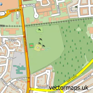
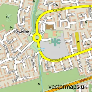
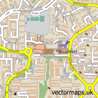
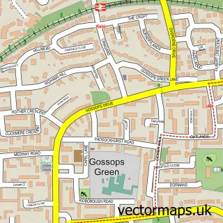
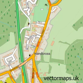
This Colgate street map is a detailed vector street map covering a 750m x 750m area. Select a larger area to create and download your own vector street map of Colgate.
The 750-metre map sample for Colgate covers 94 mapped buildings and approximately 6.6 km of road detail, of which 5 named roads are named. The immediate area includes 1 school, 1 GP surgery within 2 miles, 1 pub and 2 MOT stations within 2 miles. The wider area around Colgate features 1 food and drink venue. To create a larger or custom map of Colgate, the map builder lets you define your own coverage area and download editable SVG, PDF and PNG files.
Create a larger editable map of Colgate
Choose any area you need and generate a high-quality vector map instantly. Perfect for print, planning, design, business and personal use.

This Colgate street map in West Sussex is available as downloadable SVG, PDF and PNG map files, or as a printed map for planning, business, display, education, local information and design work. You can also create a larger custom map area using the map selector.
What this Colgate map sample shows
Colgate lies within Colgate Cp parish, part of Colgate & Rusper ward in the Horsham District local authority area. The postcode geography for this area includes the RH postcode area, the RH13 postcode district and the RH13 6 postcode sector. Residents fall under the Nhs Sussex Integrated Care Board for NHS services.
Local features near Colgate
Within 2 milesAmenities and services in and around Colgate.
Administrative and postcode information for Colgate
Colgate lies within Colgate Cp parish, part of Colgate & Rusper ward in the Horsham District local authority area. The postcode geography for this area includes the RH postcode area, the RH13 postcode district and the RH13 6 postcode sector. Residents fall under the Nhs Sussex Integrated Care Board for NHS services.
Nearby street map samples around Colgate

More street maps in West Sussex
750 metre map area coverage
Boundary, postcode and point of interest information for the 750m x 750m rectangle centred on this sample map.
Boundaries containing map centre
Constituency: Horsham Co Const
County: West Sussex County
District: Horsham District
Icb: NHS Surrey and Sussex ICB
Parish: Colgate CP
Police Force: sussex
Postcode District: RH13
Postcode Sector: RH13 6
Ward: Colgate & Rusper Ward
Nearby boundaries intersecting sample
Postcode District: RH12
Postcode Sector: RH12 4
Postcode coverage
POI category counts
Anglican Church: 1
Auto Detailing: 1
Automotive Services And Repair: 1
Building Supply Store: 1
Carpenter: 1
Marketing Consultant: 1
Pub: 1
Telecommunications: 1
Video Film Production: 1
Sample points of interest
- The Parish Church of St Saviour's Colgate
- A&R VALET
- Blueshift Networks
- Modular Clay Products Ltd.
- Jenkinsons Bespoke Joinery
- Baystar Energy
- The Dragon
- SAS Global Communications Ltd.
- Impact Creative Services
Create a larger editable map of Colgate
This sample shows only a 750 metre area. To create a larger map of Colgate, use our map builder to choose your own coverage area, add titles and download editable SVG, PDF and PNG files.
Create a custom map of Colgate