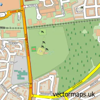
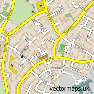
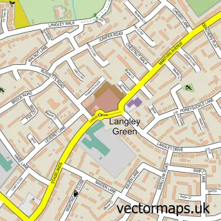
This Ifield West street map is a detailed vector street map covering a 750m x 750m area. Select a larger area to create and download your own vector street map of Ifield West.
The 750-metre map sample for Ifield West covers 245 mapped buildings and approximately 13.9 km of road detail, of which 48 named roads are named. The immediate area includes 1 school, 7 GP surgeries within 2 miles and 10 MOT stations within 2 miles. The wider area around Ifield West features 2 tourism points of interest. To create a larger or custom map of Ifield West, the map builder lets you define your own coverage area and download editable SVG, PDF and PNG files.
Create a larger editable map of Ifield West
Choose any area you need and generate a high-quality vector map instantly. Perfect for print, planning, design, business and personal use.

This Ifield West street map in West Sussex is available as downloadable SVG, PDF and PNG map files, or as a printed map for planning, business, display, education, local information and design work. You can also create a larger custom map area using the map selector.
What this Ifield West map sample shows
Ifield West lies within West Sussex County parish, part of Ifield ward in the Crawley District (B) local authority area. The postcode geography for this area includes the RH postcode area, the RH11 postcode district and the RH11 0 postcode sector. Residents fall under the Nhs Sussex Integrated Care Board for NHS services.
Local features near Ifield West
Within 2 milesAmenities and services in and around Ifield West.
Administrative and postcode information for Ifield West
Ifield West lies within West Sussex County parish, part of Ifield ward in the Crawley District (B) local authority area. The postcode geography for this area includes the RH postcode area, the RH11 postcode district and the RH11 0 postcode sector. Residents fall under the Nhs Sussex Integrated Care Board for NHS services.
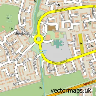
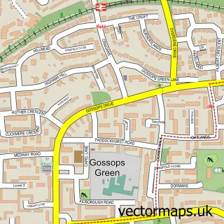
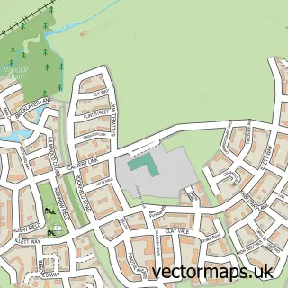
Nearby street map samples around Ifield West

More street maps in West Sussex
750 metre map area coverage
Boundary, postcode and point of interest information for the 750m x 750m rectangle centred on this sample map.
Boundaries containing map centre
Constituency: Crawley Boro Const
County: West Sussex County
District: Crawley District (B)
Icb: NHS Surrey and Sussex ICB
Police Force: sussex
Postcode District: RH11
Postcode Sector: RH11 0
Ward: Ifield Ward
Nearby boundaries intersecting sample
Constituency: Horsham Co Const
District: Horsham District
Parish: Colgate CP, Rusper CP
Postcode Sector: RH11 6, RH11 8
Ward: Bewbush & North Broadfield Ward, Colgate & Rusper Ward
Postcode coverage
POI category counts
Driving School: 2
Elementary School: 2
Park: 2
Retail: 2
Arts And Entertainment: 1
Bar: 1
Car Rental Agency: 1
Community Center: 1
Construction Services: 1
Convenience Store: 1
Sample points of interest
- Cheeky Monkeys Inflatables
- Tmhs
- Rob Taylor Plant Hire
- Ifield West Community Centre
- AIM Trust Construction
- Tesco Express
- Evri ParcelShop
- Driving Crawley
- Red Driving Instructor
- Tykes Pre School
- Waterfield Primary School
- Connected Kerb Charging Stations
Create a larger editable map of Ifield West
This sample shows only a 750 metre area. To create a larger map of Ifield West, use our map builder to choose your own coverage area, add titles and download editable SVG, PDF and PNG files.
Create a custom map of Ifield West