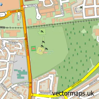
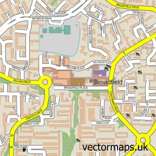
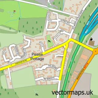
This Bewbush street map is a detailed vector street map covering a 750m x 750m area. Select a larger area to create and download your own vector street map of Bewbush.
The 750-metre map sample for Bewbush covers 257 mapped buildings and approximately 18.5 km of road detail, of which 46 named roads are named. The immediate area includes 1 school, 1 GP surgery, with 7 within 2 miles and 8 MOT stations within 2 miles. The wider area around Bewbush features 2 tourism points of interest and 1 food and drink venue. To create a larger or custom map of Bewbush, the map builder lets you define your own coverage area and download editable SVG, PDF and PNG files.
Create a larger editable map of Bewbush
Choose any area you need and generate a high-quality vector map instantly. Perfect for print, planning, design, business and personal use.

This Bewbush street map in West Sussex is available as downloadable SVG, PDF and PNG map files, or as a printed map for planning, business, display, education, local information and design work. You can also create a larger custom map area using the map selector.
What this Bewbush map sample shows
Bewbush lies within West Sussex County parish, part of Broadfield ward in the Crawley District (B) local authority area. The postcode geography for this area includes the RH postcode area, the RH11 postcode district and the RH11 9 postcode sector. Residents fall under the Nhs Sussex Integrated Care Board for NHS services.
Local features near Bewbush
Within 2 milesAmenities and services in and around Bewbush.
Administrative and postcode information for Bewbush
The local authority covering Bewbush is Crawley District (B), within the county of West Sussex. The settlement lies within Broadfield ward and West Sussex County civil parish. The RH11 postcode district and RH11 9 postcode sector serve the immediate area. NHS provision in the area is delivered through Surrey And Sussex Healthcare Nhs Trust.
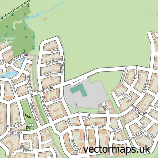
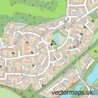
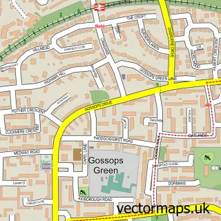
Nearby street map samples around Bewbush

More street maps in West Sussex
750 metre map area coverage
Boundary, postcode and point of interest information for the 750m x 750m rectangle centred on this sample map.
Boundaries containing map centre
Constituency: Crawley Boro Const
County: West Sussex County
District: Crawley District (B)
Icb: NHS Surrey and Sussex ICB
Police Force: sussex
Postcode District: RH11
Postcode Sector: RH11 8
Ward: Bewbush & North Broadfield Ward
Nearby boundaries intersecting sample
Constituency: Horsham Co Const
District: Horsham District
Parish: Colgate CP
Postcode Sector: RH11 6, RH11 9
Ward: Broadfield Ward, Colgate & Rusper Ward
Postcode coverage
POI category counts
Convenience Store: 3
Freight And Cargo Service: 3
Active Life: 2
Atms: 2
Beauty Salon: 2
Child Care And Day Care: 2
Day Care Preschool: 2
Dentist: 2
Elementary School: 2
Fast Food Restaurant: 2
Sample points of interest
- Fort Chetty
- Little Dancers Crawley
- Roller Disco Crawley
- Crawley Local Leaflets
- Smokey's Off Licence
- The Cooperative Food Crawley - Bewbush, Dorsten Square
- Classic Mini cooper Accessories
- Furlong Chauffeur Services
- New Waves Hair Salon
- Eye D
- Eye D By Stacey
- Insight Accountancy Solutions Ltd.
Create a larger editable map of Bewbush
This sample shows only a 750 metre area. To create a larger map of Bewbush, use our map builder to choose your own coverage area, add titles and download editable SVG, PDF and PNG files.
Create a custom map of Bewbush