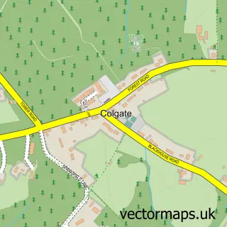
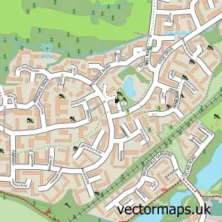
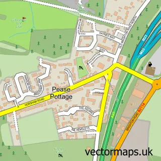
This Faygate street map is a detailed vector street map covering a 750m x 750m area. Select a larger area to create and download your own vector street map of Faygate.
The 750-metre map sample for Faygate covers 124 mapped buildings and approximately 6.6 km of road detail, of which 11 named roads are named. The immediate area includes 1 railway station, 2 GP surgeries within 2 miles, 1 pub and 1 MOT station, with 3 within 2 miles. The wider area around Faygate features 2 food and drink venues. To create a larger or custom map of Faygate, the map builder lets you define your own coverage area and download editable SVG, PDF and PNG files.
Create a larger editable map of Faygate
Choose any area you need and generate a high-quality vector map instantly. Perfect for print, planning, design, business and personal use.

This Faygate street map in West Sussex is available as downloadable SVG, PDF and PNG map files, or as a printed map for planning, business, display, education, local information and design work. You can also create a larger custom map area using the map selector.
What this Faygate map sample shows
Faygate lies within Colgate Cp parish, part of Colgate & Rusper ward in the Horsham District local authority area. The postcode geography for this area includes the RH postcode area, the RH12 postcode district and the RH12 4 postcode sector. Residents fall under the Nhs Sussex Integrated Care Board for NHS services.
Local features near Faygate
Within 2 milesAmenities and services in and around Faygate.
Administrative and postcode information for Faygate
The local authority covering Faygate is Horsham District, within the county of West Sussex. The settlement lies within Colgate & Rusper ward and Colgate Cp civil parish. The RH12 postcode district and RH12 4 postcode sector serve the immediate area. NHS provision in the area is delivered through Surrey And Sussex Healthcare Nhs Trust.
Nearby street map samples around Faygate

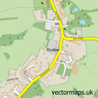
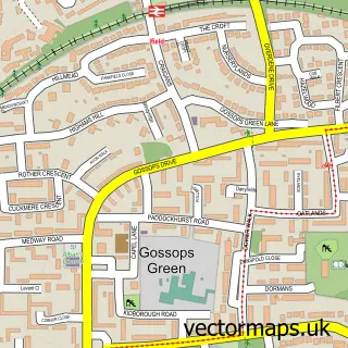
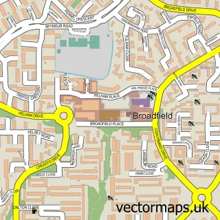
More street maps in West Sussex
750 metre map area coverage
Boundary, postcode and point of interest information for the 750m x 750m rectangle centred on this sample map.
Boundaries containing map centre
Constituency: Horsham Co Const
County: West Sussex County
District: Horsham District
Icb: NHS Surrey and Sussex ICB
Parish: Colgate CP
Police Force: sussex
Postcode District: RH12
Postcode Sector: RH12 4
Ward: Colgate & Rusper Ward
Nearby boundaries intersecting sample
Parish: Rusper CP
Postcode coverage
POI category counts
Gas Station: 3
Contractor: 2
Electrician: 2
Package Locker: 2
Soccer Field: 2
Train Station: 2
Accommodation: 1
Advertising Agency: 1
Art Gallery: 1
Automotive: 1
Sample points of interest
- Faygate Village
- Wildwood P R
- Broccoli and Grape
- Tower Hill Garage
- Playmini
- Bettacare
- Halo Corporate Finance Ltd.
- Georgette's Beauty
- Powell Blinds
- i-ingredients
- Wild Bean Cafe
- War-Lock
Create a larger editable map of Faygate
This sample shows only a 750 metre area. To create a larger map of Faygate, use our map builder to choose your own coverage area, add titles and download editable SVG, PDF and PNG files.
Create a custom map of Faygate