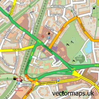
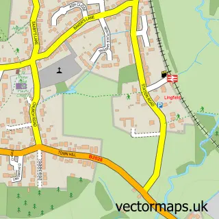
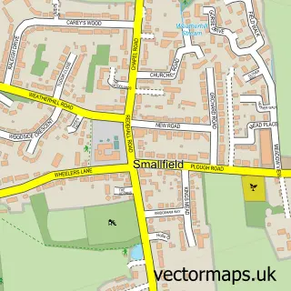
This Felbridge street map is a detailed vector street map covering a 750m x 750m area. Select a larger area to create and download your own vector street map of Felbridge.
The 750-metre map sample for Felbridge covers 330 mapped buildings and approximately 10.0 km of road detail, of which 17 named roads are named. The immediate area includes 1 school, 2 GP surgeries within 2 miles and 10 MOT stations within 2 miles. The wider area around Felbridge features 1 food and drink venue and 1 campsite within 2 miles. To create a larger or custom map of Felbridge, the map builder lets you define your own coverage area and download editable SVG, PDF and PNG files.
Create a larger editable map of Felbridge
Choose any area you need and generate a high-quality vector map instantly. Perfect for print, planning, design, business and personal use.

This Felbridge street map in Surrey is available as downloadable SVG, PDF and PNG map files, or as a printed map for planning, business, display, education, local information and design work. You can also create a larger custom map area using the map selector.
What this Felbridge map sample shows
Felbridge lies within Felbridge Cp parish, part of Felbridge ward in the Tandridge District local authority area. The postcode geography for this area includes the RH postcode area, the RH19 postcode district and the RH19 2 postcode sector. Residents fall under the Nhs Surrey Heartlands Integrated Care Board for NHS services.
Local features near Felbridge
Within 2 milesAmenities and services in and around Felbridge.
Administrative and postcode information for Felbridge
The local authority covering Felbridge is Tandridge District, within the county of Surrey. The settlement lies within Felbridge ward and Felbridge Cp civil parish. The RH19 postcode district and RH19 2 postcode sector serve the immediate area. NHS provision in the area is delivered through Surrey And Sussex Healthcare Nhs Trust.
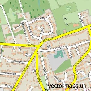
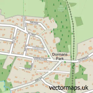
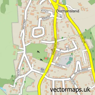
Nearby street map samples around Felbridge

More street maps in Surrey
750 metre map area coverage
Boundary, postcode and point of interest information for the 750m x 750m rectangle centred on this sample map.
Boundaries containing map centre
Constituency: East Surrey Co Const
County: Surrey County
District: Tandridge District
Icb: NHS Surrey and Sussex ICB
Parish: Felbridge CP
Police Force: surrey
Postcode District: RH19
Postcode Sector: RH19 2
Ward: Dormansland & Felbridge Ward
Nearby boundaries intersecting sample
Constituency: East Grinstead and Uckfield Co Const
County: West Sussex County
District: Mid Sussex District
Parish: East Grinstead CP
Police Force: sussex
Postcode Sector: RH19 1
Ward: East Grinstead Imberhorne Ward
Postcode coverage
POI category counts
Professional Services: 4
Beauty Salon: 3
Information Technology Company: 2
Retail: 2
Shipping Center: 2
Accountant: 1
Atms: 1
Automotive Services And Repair: 1
Beauty And Spa: 1
Building Supply Store: 1
Sample points of interest
- Zen Accounting Solutions
- PayPoint
- Laser Byte
- Beauty Empire
- No.9 The Retreat
- Sculpt Beauty Clinic
- The Natural Alternative Limited
- FNM Solutions Ltd
- Equihunter Horseboxes
- One Four Street Coffee
- Felbridge Village Hall
- Felbridge Village Store
Create a larger editable map of Felbridge
This sample shows only a 750 metre area. To create a larger map of Felbridge, use our map builder to choose your own coverage area, add titles and download editable SVG, PDF and PNG files.
Create a custom map of Felbridge