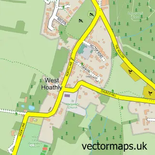
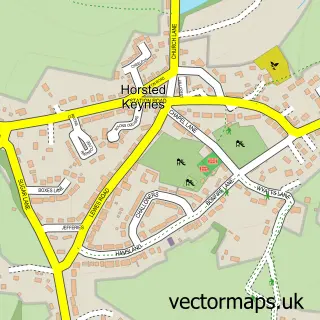
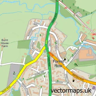
This Sharpthorne street map is a detailed vector street map covering a 750m x 750m area. Select a larger area to create and download your own vector street map of Sharpthorne.
The 750-metre map sample for Sharpthorne covers 229 mapped buildings and approximately 10.8 km of road detail, of which 12 named roads are named. The immediate area includes 1 pub and 1 MOT station, with 2 within 2 miles. The wider area around Sharpthorne features 2 food and drink venues. To create a larger or custom map of Sharpthorne, the map builder lets you define your own coverage area and download editable SVG, PDF and PNG files.
Create a larger editable map of Sharpthorne
Choose any area you need and generate a high-quality vector map instantly. Perfect for print, planning, design, business and personal use.

This Sharpthorne street map in West Sussex is available as downloadable SVG, PDF and PNG map files, or as a printed map for planning, business, display, education, local information and design work. You can also create a larger custom map area using the map selector.
What this Sharpthorne map sample shows
Sharpthorne lies within West Hoathly Cp parish, part of High Weald ward in the Mid Sussex District local authority area. The postcode geography for this area includes the RH postcode area, the RH19 postcode district and the RH19 4 postcode sector. Residents fall under the Nhs Sussex Integrated Care Board for NHS services.
Local features near Sharpthorne
Within 2 milesAmenities and services in and around Sharpthorne.
Administrative and postcode information for Sharpthorne
Sharpthorne lies within West Hoathly Cp parish, part of High Weald ward in the Mid Sussex District local authority area. The postcode geography for this area includes the RH postcode area, the RH19 postcode district and the RH19 4 postcode sector. Residents fall under the Nhs Sussex Integrated Care Board for NHS services.
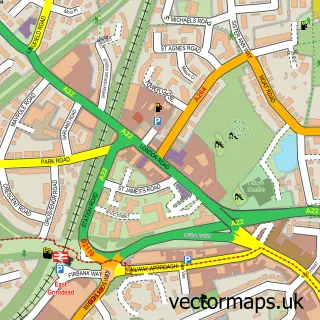
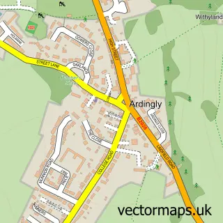
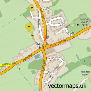
Nearby street map samples around Sharpthorne

More street maps in West Sussex
750 metre map area coverage
Boundary, postcode and point of interest information for the 750m x 750m rectangle centred on this sample map.
Boundaries containing map centre
Constituency: East Grinstead and Uckfield Co Const
County: West Sussex County
District: Mid Sussex District
Icb: NHS Surrey and Sussex ICB
Parish: West Hoathly CP
Police Force: sussex
Postcode District: RH19
Postcode Sector: RH19 4
Ward: Lindfield Rural & High Weald Ward
Nearby boundaries intersecting sample
No additional intersecting boundaries found.
Postcode coverage
POI category counts
Building Supply Store: 2
Shipping Center: 2
Arts And Crafts: 1
Automotive Repair: 1
Bar: 1
Beauty Salon: 1
Bridal Shop: 1
Cafe: 1
Car Dealer: 1
Carpet Store: 1
Sample points of interest
- Pheasant Framing
- Sharpthorne Village Garage
- Vinols Cross Inn
- Timeless Beauty Sharpthorne
- Harp Music by Margaret
- Resolution Plumbing & Heating
- Tree-Saw
- Pericles Cafe
- Unipart Car Care Centre
- Healey Flooring
- Rwt Outdoor cleaning
- Costcutter
Create a larger editable map of Sharpthorne
This sample shows only a 750 metre area. To create a larger map of Sharpthorne, use our map builder to choose your own coverage area, add titles and download editable SVG, PDF and PNG files.
Create a custom map of Sharpthorne