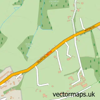
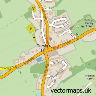
This Ashurst Wood street map is a detailed vector street map covering a 750m x 750m area. Select a larger area to create and download your own vector street map of Ashurst Wood.
The 750-metre map sample for Ashurst Wood covers 316 mapped buildings and approximately 12.3 km of road detail, of which 17 named roads are named. The immediate area includes 1 GP surgery within 2 miles, 3 pubs and 1 MOT station, with 3 within 2 miles. The wider area around Ashurst Wood features 2 tourism points of interest and 3 food and drink venues. To create a larger or custom map of Ashurst Wood, the map builder lets you define your own coverage area and download editable SVG, PDF and PNG files.
Create a larger editable map of Ashurst Wood
Choose any area you need and generate a high-quality vector map instantly. Perfect for print, planning, design, business and personal use.

This Ashurst Wood street map in West Sussex is available as downloadable SVG, PDF and PNG map files, or as a printed map for planning, business, display, education, local information and design work. You can also create a larger custom map area using the map selector.
What this Ashurst Wood map sample shows
Ashurst Wood lies within Ashurst Wood Cp parish, part of Ashurst Wood ward in the Mid Sussex District local authority area. The postcode geography for this area includes the RH postcode area, the RH19 postcode district and the RH19 3 postcode sector. Residents fall under the Nhs Sussex Integrated Care Board for NHS services.
Local features near Ashurst Wood
Within 2 milesAmenities and services in and around Ashurst Wood.
Administrative and postcode information for Ashurst Wood
The local authority covering Ashurst Wood is Mid Sussex District, within the county of West Sussex. The settlement lies within Ashurst Wood ward and Ashurst Wood Cp civil parish. The RH19 postcode district and RH19 3 postcode sector serve the immediate area. NHS provision in the area is delivered through Surrey And Sussex Healthcare Nhs Trust.
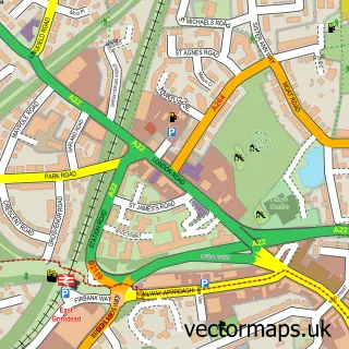
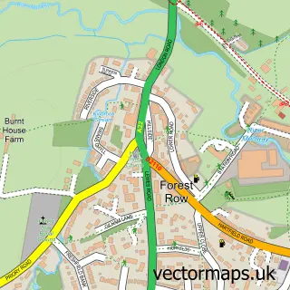
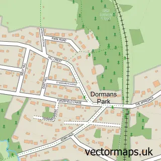
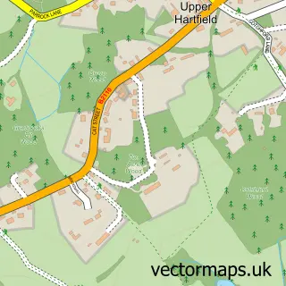
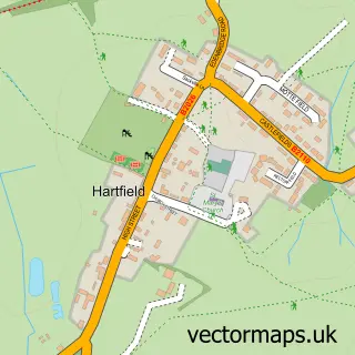
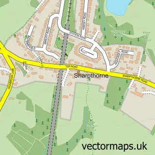
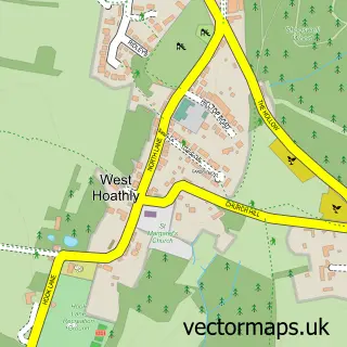
Nearby street map samples around Ashurst Wood

More street maps in West Sussex
750 metre map area coverage
Boundary, postcode and point of interest information for the 750m x 750m rectangle centred on this sample map.
Boundaries containing map centre
Constituency: East Grinstead and Uckfield Co Const
County: West Sussex County
District: Mid Sussex District
Icb: NHS Surrey and Sussex ICB
Parish: Ashurst Wood CP
Police Force: sussex
Postcode District: RH19
Postcode Sector: RH19 3
Ward: Ashurst Wood & East Grinstead South Ward
Nearby boundaries intersecting sample
Constituency: Sussex Weald Co Const
County: East Sussex County
District: Wealden District
Parish: Forest Row CP
Ward: Hartfield Ward
Postcode coverage
POI category counts
Pub: 3
Automotive Repair: 2
Building Supply Store: 2
Convenience Store: 2
Garage Door Service: 2
Hair Salon: 2
Metals: 2
Park: 2
Physical Therapy: 2
Post Office: 2
Sample points of interest
- Personal Training With Matthew Card
- Balconi Aluminium
- The Seasons Art Class - East Grinstead
- Ashurstwood Mot Centre
- SMART Choice
- The Sussex Kitchen
- ubeauty.salon
- Katsura Gardens
- Thayres Landscapes
- Allan Martin Meats
- St Dunstan's Church
- LNB Installations
Create a larger editable map of Ashurst Wood
This sample shows only a 750 metre area. To create a larger map of Ashurst Wood, use our map builder to choose your own coverage area, add titles and download editable SVG, PDF and PNG files.
Create a custom map of Ashurst Wood