This Cowden street map is a detailed vector street map covering a 750m x 750m area. Select a larger area to create and download your own vector street map of Cowden.
The 750-metre map sample for Cowden covers 96 mapped buildings and approximately 4.7 km of road detail, of which 6 named roads are named. The immediate area includes 1 pub. The wider area around Cowden features 1 food and drink venue. To create a larger or custom map of Cowden, the map builder lets you define your own coverage area and download editable SVG, PDF and PNG files.
Create a larger editable map of Cowden
Choose any area you need and generate a high-quality vector map instantly. Perfect for print, planning, design, business and personal use.

This Cowden street map in Kent is available as downloadable SVG, PDF and PNG map files, or as a printed map for planning, business, display, education, local information and design work. You can also create a larger custom map area using the map selector.
What this Cowden map sample shows
Cowden lies within Cowden Cp parish, part of Cowden And Hever ward in the Sevenoaks District local authority area. The postcode geography for this area includes the TN postcode area, the TN8 postcode district and the TN8 7 postcode sector. Residents fall under the Nhs Kent And Medway Integrated Care Board for NHS services.
Local features near Cowden
Within 2 milesAmenities and services in and around Cowden.
Administrative and postcode information for Cowden
Cowden lies within Cowden Cp parish, part of Cowden And Hever ward in the Sevenoaks District local authority area. The postcode geography for this area includes the TN postcode area, the TN8 postcode district and the TN8 7 postcode sector. Residents fall under the Nhs Kent And Medway Integrated Care Board for NHS services.
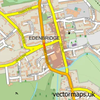
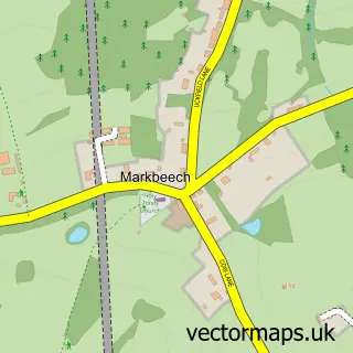
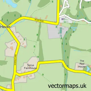
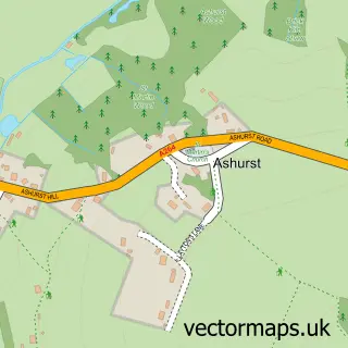
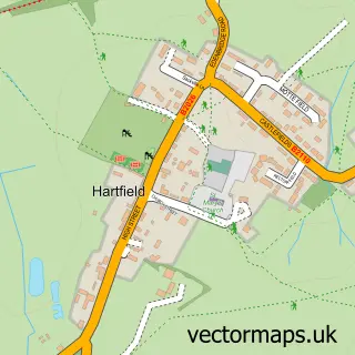
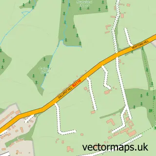
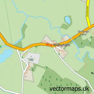
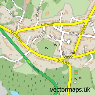
Nearby street map samples around Cowden

More street maps in Kent
750 metre map area coverage
Boundary, postcode and point of interest information for the 750m x 750m rectangle centred on this sample map.
Boundaries containing map centre
Constituency: Tonbridge Co Const
County: Kent County
District: Sevenoaks District
Icb: NHS Kent and Medway ICB
Parish: Cowden CP
Police Force: kent
Postcode District: TN8
Postcode Sector: TN8 7
Ward: Cowden and Hever Ward
Nearby boundaries intersecting sample
Constituency: Sussex Weald Co Const
County: East Sussex County
District: Wealden District
Icb: NHS Surrey and Sussex ICB
Parish: Hartfield CP
Police Force: sussex
Ward: Hartfield Ward
Postcode coverage
POI category counts
Church Cathedral: 1
Contractor: 1
Event Planning: 1
Furniture Store: 1
Grocery Store: 1
Gym: 1
Pub: 1
Sports Club And League: 1
Sample points of interest
- St Mary Magdalene Church
- Mortimer Building Services
- Cowden Village hall
- Phoenix Workshop Furniture
- Tesco
- Fresh HIITs
- The Fountain Inn
- Cowden Cricket Club
Create a larger editable map of Cowden
This sample shows only a 750 metre area. To create a larger map of Cowden, use our map builder to choose your own coverage area, add titles and download editable SVG, PDF and PNG files.
Create a custom map of Cowden