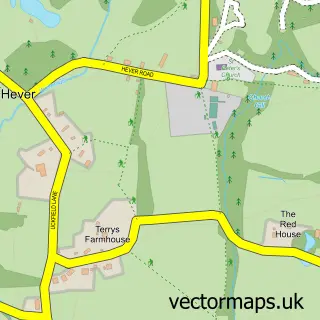
This Edenbridge street map is a detailed vector street map covering a 750m x 750m area. Select a larger area to create and download your own vector street map of Edenbridge.
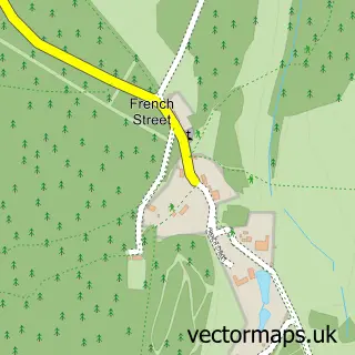
The 750-metre map sample for Edenbridge covers 384 mapped buildings and approximately 14.5 km of road detail, of which 34 named roads are named. The immediate area includes 2 schools, 1 GP surgery within 2 miles, 6 pubs and 3 MOT stations within 2 miles. The wider area around Edenbridge features 2 tourism points of interest, 13 food and drink venues and 1 hotel. To create a larger or custom map of Edenbridge, the map builder lets you define your own coverage area and download editable SVG, PDF and PNG files.
Create a larger editable map of Edenbridge
Choose any area you need and generate a high-quality vector map instantly. Perfect for print, planning, design, business and personal use.

This Edenbridge street map in Kent is available as downloadable SVG, PDF and PNG map files, or as a printed map for planning, business, display, education, local information and design work. You can also create a larger custom map area using the map selector.
What this Edenbridge map sample shows
Edenbridge lies within Edenbridge Cp parish, part of Edenbridge South And West ward in the Sevenoaks District local authority area. The postcode geography for this area includes the TN postcode area, the TN8 postcode district and the TN8 5 postcode sector. Residents fall under the Nhs Kent And Medway Integrated Care Board for NHS services.
Local features near Edenbridge
Within 2 milesAmenities and services in and around Edenbridge.
Administrative and postcode information for Edenbridge
The local authority covering Edenbridge is Sevenoaks District, within the county of Kent. The settlement lies within Edenbridge South And West ward and Edenbridge Cp civil parish. The TN8 postcode district and TN8 5 postcode sector serve the immediate area. NHS provision in the area is delivered through Maidstone And Tunbridge Wells Nhs Trust.
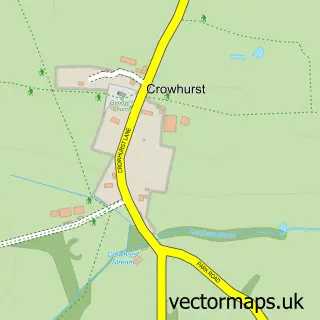
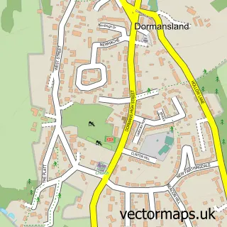
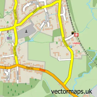
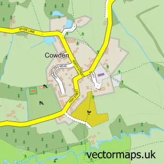
Nearby street map samples around Edenbridge

More street maps in Kent
750 metre map area coverage
Boundary, postcode and point of interest information for the 750m x 750m rectangle centred on this sample map.
Boundaries containing map centre
Constituency: Tonbridge Co Const
County: Kent County
District: Sevenoaks District
Icb: NHS Kent and Medway ICB
Parish: Edenbridge CP
Police Force: kent
Postcode District: TN8
Postcode Sector: TN8 5
Ward: Edenbridge South and West Ward
Nearby boundaries intersecting sample
Ward: Edenbridge North and East Ward
Postcode coverage
POI category counts
Pub: 6
Building Supply Store: 5
Contractor: 5
Church Cathedral: 4
Coffee Shop: 4
Flowers And Gifts Shop: 4
Hair Salon: 4
Professional Services: 4
Real Estate Agent: 4
Bakery: 3
Sample points of interest
- Currie Accountancy Ltd.
- UKFitnesshub Travis Tarrant
- Knm Media Kent Limited
- Robert J Mccoy
- St Peter & St Paul's Edenbridge
- IWCT - UK
- Edenbridge Galleries
- Lennox Cato Antiques
- Mister Gallery
- Face On Facepainting
- Edenbridge Balti
- Edenbridge Manor Care Home
Create a larger editable map of Edenbridge
This sample shows only a 750 metre area. To create a larger map of Edenbridge, use our map builder to choose your own coverage area, add titles and download editable SVG, PDF and PNG files.
Create a custom map of Edenbridge