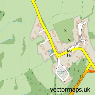
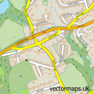
This Crockham Hill street map is a detailed vector street map covering a 750m x 750m area. Select a larger area to create and download your own vector street map of Crockham Hill.
The 750-metre map sample for Crockham Hill covers 114 mapped buildings and approximately 8.3 km of road detail, of which 7 named roads are named. The immediate area includes 1 school and 1 pub. The wider area around Crockham Hill features 1 food and drink venue. To create a larger or custom map of Crockham Hill, the map builder lets you define your own coverage area and download editable SVG, PDF and PNG files.
Create a larger editable map of Crockham Hill
Choose any area you need and generate a high-quality vector map instantly. Perfect for print, planning, design, business and personal use.

This Crockham Hill street map in Kent is available as downloadable SVG, PDF and PNG map files, or as a printed map for planning, business, display, education, local information and design work. You can also create a larger custom map area using the map selector.
What this Crockham Hill map sample shows
Crockham Hill lies within Westerham Cp parish, part of Westerham And Crockham Hill ward in the Sevenoaks District local authority area. The postcode geography for this area includes the TN postcode area, the TN8 postcode district and the TN8 6 postcode sector. Residents fall under the Nhs Kent And Medway Integrated Care Board for NHS services.
Local features near Crockham Hill
Within 2 milesAmenities and services in and around Crockham Hill.
Administrative and postcode information for Crockham Hill
The local authority covering Crockham Hill is Sevenoaks District, within the county of Kent. The settlement lies within Westerham And Crockham Hill ward and Westerham Cp civil parish. The TN8 postcode district and TN8 6 postcode sector serve the immediate area. NHS provision in the area is delivered through Maidstone And Tunbridge Wells Nhs Trust.
Nearby street map samples around Crockham Hill

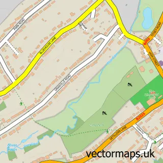
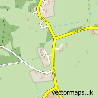
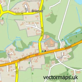
More street maps in Kent
750 metre map area coverage
Boundary, postcode and point of interest information for the 750m x 750m rectangle centred on this sample map.
Boundaries containing map centre
Constituency: Sevenoaks Co Const
County: Kent County
District: Sevenoaks District
Icb: NHS Kent and Medway ICB
Parish: Westerham CP
Police Force: kent
Postcode District: TN8
Postcode Sector: TN8 6
Ward: Westerham and Crockham Hill Ward
Nearby boundaries intersecting sample
No additional intersecting boundaries found.
Postcode coverage
POI category counts
Community Center: 2
Active Life: 1
Anglican Church: 1
Aquarium: 1
Bakery: 1
Building Supply Store: 1
Church Cathedral: 1
Contractor: 1
Education: 1
Elementary School: 1
Sample points of interest
- Unicorn Darts
- Crockham Hill Parish Church
- Aquatechniques
- Sally's Cake
- MG Build
- Holy Trinity Church
- Crockham Hill Village Hall
- Crockham Hill Village Hall
- Eden Kitchens
- Felicity's Nursery School
- Crockham Hill Church of England Voluntary Controlled Primary School
- Lewins
Create a larger editable map of Crockham Hill
This sample shows only a 750 metre area. To create a larger map of Crockham Hill, use our map builder to choose your own coverage area, add titles and download editable SVG, PDF and PNG files.
Create a custom map of Crockham Hill