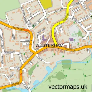
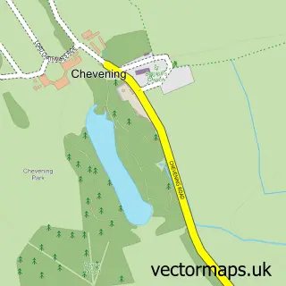
This Ide Hill street map is a detailed vector street map covering a 750m x 750m area. Select a larger area to create and download your own vector street map of Ide Hill.
The 750-metre map sample for Ide Hill covers 103 mapped buildings and approximately 5.7 km of road detail, of which 4 named roads are named. The immediate area includes 1 school and 2 pubs. The wider area around Ide Hill features 3 food and drink venues. To create a larger or custom map of Ide Hill, the map builder lets you define your own coverage area and download editable SVG, PDF and PNG files.
Create a larger editable map of Ide Hill
Choose any area you need and generate a high-quality vector map instantly. Perfect for print, planning, design, business and personal use.

This Ide Hill street map in Kent is available as downloadable SVG, PDF and PNG map files, or as a printed map for planning, business, display, education, local information and design work. You can also create a larger custom map area using the map selector.
What this Ide Hill map sample shows
Ide Hill lies within Sundridge With Ide Hill Cp parish, part of Brasted, Chevening And Sundridge ward in the Sevenoaks District local authority area. The postcode geography for this area includes the TN postcode area, the TN14 postcode district and the TN14 6 postcode sector. Residents fall under the Nhs Kent And Medway Integrated Care Board for NHS services.
Local features near Ide Hill
Within 2 milesAmenities and services in and around Ide Hill.
Administrative and postcode information for Ide Hill
The local authority covering Ide Hill is Sevenoaks District, within the county of Kent. The settlement lies within Brasted, Chevening And Sundridge ward and Sundridge With Ide Hill Cp civil parish. The TN14 postcode district and TN14 6 postcode sector serve the immediate area. NHS provision in the area is delivered through Maidstone And Tunbridge Wells Nhs Trust.
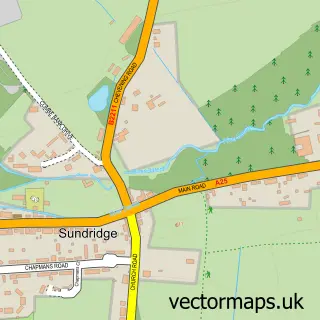
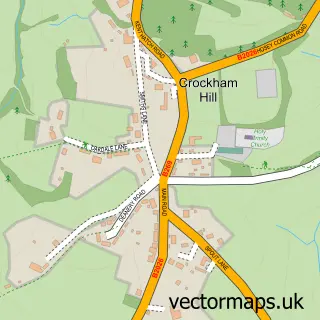
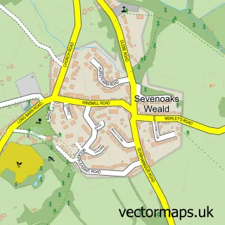
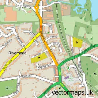
Nearby street map samples around Ide Hill

More street maps in Kent
750 metre map area coverage
Boundary, postcode and point of interest information for the 750m x 750m rectangle centred on this sample map.
Boundaries containing map centre
Constituency: Sevenoaks Co Const
County: Kent County
District: Sevenoaks District
Icb: NHS Kent and Medway ICB
Parish: Sundridge with Ide Hill CP
Police Force: kent
Postcode District: TN14
Postcode Sector: TN14 6
Ward: Brasted, Chevening & Sundridge Ward
Nearby boundaries intersecting sample
No additional intersecting boundaries found.
Postcode coverage
POI category counts
Elementary School: 2
Pub: 2
Anglican Church: 1
Cafe: 1
Community Center: 1
Convenience Store: 1
Dog Trainer: 1
Hair Salon: 1
Post Office: 1
Scout Hall: 1
Sample points of interest
- St Mary's Ide Hill
- The Ide Hill Community Shop
- Ide Hill Village Hall
- Ide Hill Community Shop
- Puppy School Sevenoaks
- Ide Hill C of E Primary School
- Ide Hill Post Office
- Hare & Now
- Post Office
- Cock Inn
- The Cock Inn
- 16th Sevenoaks (Ide Hill)
Create a larger editable map of Ide Hill
This sample shows only a 750 metre area. To create a larger map of Ide Hill, use our map builder to choose your own coverage area, add titles and download editable SVG, PDF and PNG files.
Create a custom map of Ide Hill