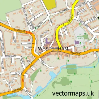
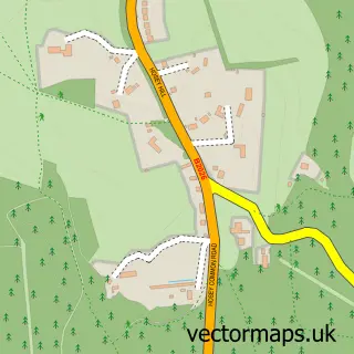
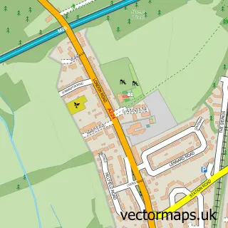
This Brasted street map is a detailed vector street map covering a 750m x 750m area. Select a larger area to create and download your own vector street map of Brasted.
The 750-metre map sample for Brasted covers 193 mapped buildings and approximately 8.3 km of road detail, of which 12 named roads are named. The immediate area includes 1 GP surgery within 2 miles, 2 pubs and 2 MOT stations within 2 miles. The wider area around Brasted features 2 food and drink venues. To create a larger or custom map of Brasted, the map builder lets you define your own coverage area and download editable SVG, PDF and PNG files.
Create a larger editable map of Brasted
Choose any area you need and generate a high-quality vector map instantly. Perfect for print, planning, design, business and personal use.

This Brasted street map in Kent is available as downloadable SVG, PDF and PNG map files, or as a printed map for planning, business, display, education, local information and design work. You can also create a larger custom map area using the map selector.
What this Brasted map sample shows
Brasted lies within Brasted Cp parish, part of Brasted, Chevening And Sundridge ward in the Sevenoaks District local authority area. The postcode geography for this area includes the TN postcode area, the TN16 postcode district and the TN16 1 postcode sector. Residents fall under the Nhs Kent And Medway Integrated Care Board for NHS services.
Local features near Brasted
Within 2 milesAmenities and services in and around Brasted.
Administrative and postcode information for Brasted
Brasted lies within Brasted Cp parish, part of Brasted, Chevening And Sundridge ward in the Sevenoaks District local authority area. The postcode geography for this area includes the TN postcode area, the TN16 postcode district and the TN16 1 postcode sector. Residents fall under the Nhs Kent And Medway Integrated Care Board for NHS services.
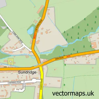
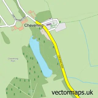
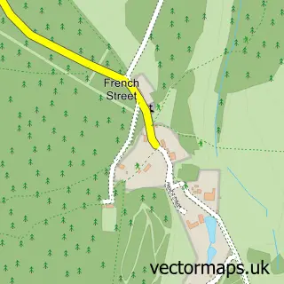
Nearby street map samples around Brasted

More street maps in Kent
750 metre map area coverage
Boundary, postcode and point of interest information for the 750m x 750m rectangle centred on this sample map.
Boundaries containing map centre
Constituency: Sevenoaks Co Const
County: Kent County
District: Sevenoaks District
Icb: NHS Kent and Medway ICB
Parish: Brasted CP
Police Force: kent
Postcode District: TN16
Postcode Sector: TN16 1
Ward: Brasted, Chevening & Sundridge Ward
Nearby boundaries intersecting sample
Parish: Sundridge with Ide Hill CP
Postcode District: TN14
Postcode Sector: TN14 6
Postcode coverage
POI category counts
Antique Store: 5
Professional Services: 4
Corporate Office: 3
Interior Design: 3
Building Supply Store: 2
Charity Organization: 2
Dance School: 2
Pub: 2
Windows Installation: 2
Art Gallery: 1
Sample points of interest
- Courtyard Antiques
- David Barrington
- Peter Dyke
- Roy Massingham Antiques
- W W Warner
- Cooper Fine Arts
- Barbers of East Street Limited
- Vanity London
- The Old Manor House
- Jewson
- The Cleaning Partnership
- Danmac Minicoaches
Create a larger editable map of Brasted
This sample shows only a 750 metre area. To create a larger map of Brasted, use our map builder to choose your own coverage area, add titles and download editable SVG, PDF and PNG files.
Create a custom map of Brasted