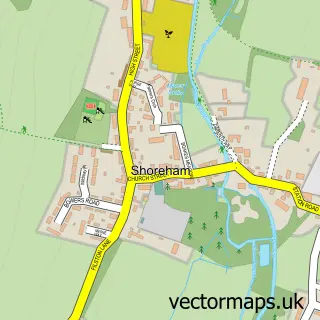
This Dunton Green street map is a detailed vector street map covering a 750m x 750m area. Select a larger area to create and download your own vector street map of Dunton Green.
The 750-metre map sample for Dunton Green covers 189 mapped buildings and approximately 10.4 km of road detail, of which 16 named roads are named. The immediate area includes 1 school, 3 GP surgeries within 2 miles, 2 pubs and 8 MOT stations within 2 miles. The wider area around Dunton Green features 1 tourism point of interest, 3 food and drink venues and 1 hotel. To create a larger or custom map of Dunton Green, the map builder lets you define your own coverage area and download editable SVG, PDF and PNG files.
Create a larger editable map of Dunton Green
Choose any area you need and generate a high-quality vector map instantly. Perfect for print, planning, design, business and personal use.

This Dunton Green street map in Kent is available as downloadable SVG, PDF and PNG map files, or as a printed map for planning, business, display, education, local information and design work. You can also create a larger custom map area using the map selector.
What this Dunton Green map sample shows
Dunton Green lies within Dunton Green Cp parish, part of Dunton Green And Riverhead ward in the Sevenoaks District local authority area. The postcode geography for this area includes the TN postcode area, the TN13 postcode district and the TN13 2 postcode sector. Residents fall under the Nhs Kent And Medway Integrated Care Board for NHS services.
Local features near Dunton Green
Within 2 milesAmenities and services in and around Dunton Green.
Administrative and postcode information for Dunton Green
The local authority covering Dunton Green is Sevenoaks District, within the county of Kent. The settlement lies within Dunton Green And Riverhead ward and Dunton Green Cp civil parish. The TN13 postcode district and TN13 2 postcode sector serve the immediate area. NHS provision in the area is delivered through Maidstone And Tunbridge Wells Nhs Trust.
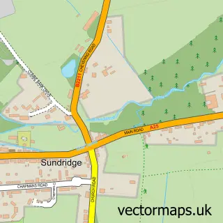
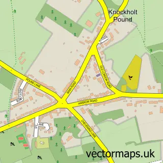
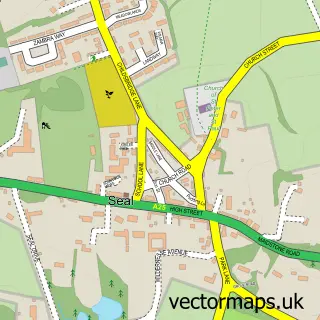
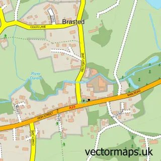
Nearby street map samples around Dunton Green
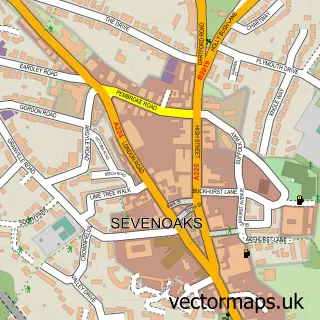

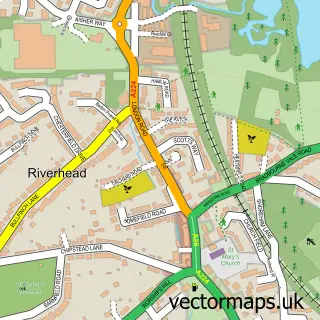
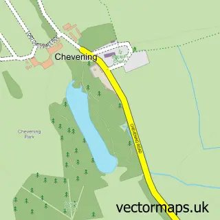
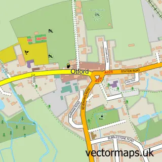
More street maps in Kent
750 metre map area coverage
Boundary, postcode and point of interest information for the 750m x 750m rectangle centred on this sample map.
Boundaries containing map centre
Constituency: Sevenoaks Co Const
County: Kent County
District: Sevenoaks District
Icb: NHS Kent and Medway ICB
Parish: Dunton Green CP
Police Force: kent
Postcode District: TN13
Postcode Sector: TN13 2
Ward: Dunton Green and Riverhead Ward
Nearby boundaries intersecting sample
Parish: Chevening CP
Postcode District: TN14
Postcode Sector: TN14 5
Ward: Brasted, Chevening & Sundridge Ward
Postcode coverage
POI category counts
Preschool: 4
Building Supply Store: 3
Convenience Store: 3
Advertising Agency: 2
Car Dealer: 2
Indian Restaurant: 2
Interior Design: 2
Pub: 2
Alternative Medicine: 1
Attractions And Activities: 1
Sample points of interest
- Bright Marketing
- Kent Marketing Blog
- Karyn Hartley
- Wellbelove Garden Design
- R Body Shop Smart Repairs
- Ability Plumbing & Heating Engineers
- Freelands Tiles
- Lt Electrical Contractors
- Treeability Ltd.
- Prestige Motors Kent
- Stillmans at Dunton Green
- M&K Cleaning Service
Create a larger editable map of Dunton Green
This sample shows only a 750 metre area. To create a larger map of Dunton Green, use our map builder to choose your own coverage area, add titles and download editable SVG, PDF and PNG files.
Create a custom map of Dunton Green