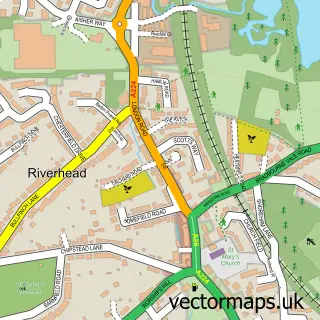
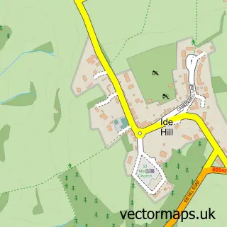
This Sevenoaks street map is a detailed vector street map covering a 750m x 750m area. Select a larger area to create and download your own vector street map of Sevenoaks.
The 750-metre map sample for Sevenoaks covers 371 mapped buildings and approximately 18.3 km of road detail, of which 32 named roads are named. The immediate area includes 2 schools, 2 GP surgeries, with 4 within 2 miles, 10 pubs and 5 MOT stations within 2 miles. The wider area around Sevenoaks features 9 tourism points of interest, 38 food and drink venues and 3 hotels. To create a larger or custom map of Sevenoaks, the map builder lets you define your own coverage area and download editable SVG, PDF and PNG files.
Create a larger editable map of Sevenoaks
Choose any area you need and generate a high-quality vector map instantly. Perfect for print, planning, design, business and personal use.

This Sevenoaks street map in Kent is available as downloadable SVG, PDF and PNG map files, or as a printed map for planning, business, display, education, local information and design work. You can also create a larger custom map area using the map selector.
What this Sevenoaks map sample shows
Sevenoaks lies within Sevenoaks Cp parish, part of Sevenoaks Town And St John's ward in the Sevenoaks District local authority area. The postcode geography for this area includes the TN postcode area, the TN13 postcode district and the TN13 1 postcode sector. Residents fall under the Nhs Kent And Medway Integrated Care Board for NHS services.
Local features near Sevenoaks
Within 2 milesAmenities and services in and around Sevenoaks.
Administrative and postcode information for Sevenoaks
Sevenoaks lies within Sevenoaks Cp parish, part of Sevenoaks Town And St John's ward in the Sevenoaks District local authority area. The postcode geography for this area includes the TN postcode area, the TN13 postcode district and the TN13 1 postcode sector. Residents fall under the Nhs Kent And Medway Integrated Care Board for NHS services.
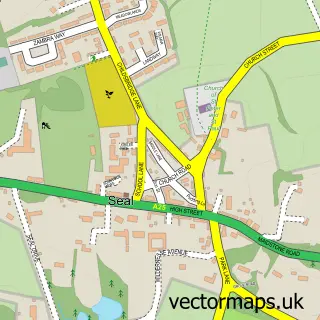
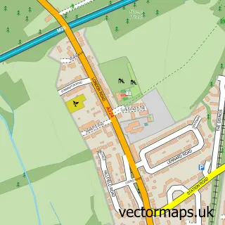
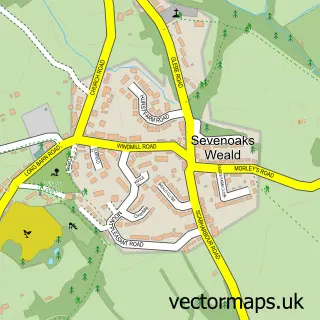
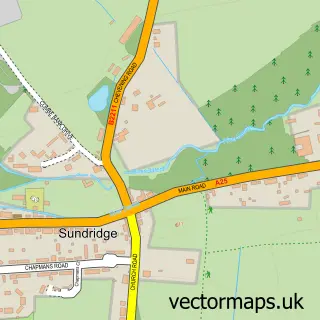
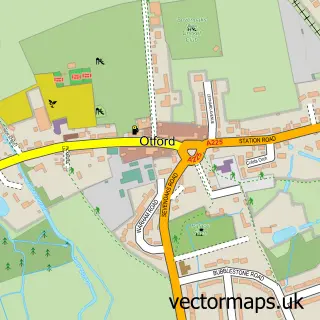
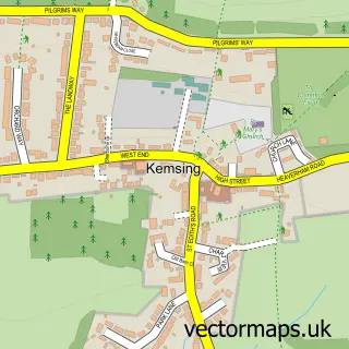
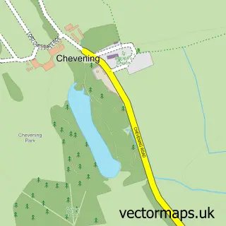
Nearby street map samples around Sevenoaks

More street maps in Kent
750 metre map area coverage
Boundary, postcode and point of interest information for the 750m x 750m rectangle centred on this sample map.
Boundaries containing map centre
Constituency: Sevenoaks Co Const
County: Kent County
District: Sevenoaks District
Icb: NHS Kent and Medway ICB
Parish: Sevenoaks CP
Police Force: kent
Postcode District: TN13
Postcode Sector: TN13 1
Ward: Sevenoaks Town and St. John's Ward
Nearby boundaries intersecting sample
Postcode Sector: TN13 3
Ward: Sevenoaks Eastern Ward, Sevenoaks Kippington Ward
Postcode coverage
POI category counts
Clothing Store: 23
Real Estate Agent: 20
Hair Salon: 18
Professional Services: 16
Beauty Salon: 13
Cafe: 11
Bank Credit Union: 10
Coffee Shop: 10
Employment Agencies: 10
Legal Services: 10
Sample points of interest
- Starborough Manor
- Amherst Accountancy
- Bells Accountants Sevenoaks
- Brebners
- TaxAssist Accountants
- Wilson Partners
- Witton Metcalfe Accountants
- Yes Accounting Limited
- New You
- Sevenoaks Park
- Derek Griffin
- Ditto
Create a larger editable map of Sevenoaks
This sample shows only a 750 metre area. To create a larger map of Sevenoaks, use our map builder to choose your own coverage area, add titles and download editable SVG, PDF and PNG files.
Create a custom map of Sevenoaks