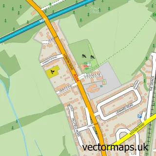
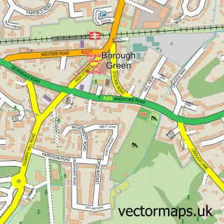
This Seal street map is a detailed vector street map covering a 750m x 750m area. Select a larger area to create and download your own vector street map of Seal.
The 750-metre map sample for Seal covers 189 mapped buildings and approximately 12.0 km of road detail, of which 20 named roads are named. The immediate area includes 1 school, 4 GP surgeries within 2 miles, 1 pub and 5 MOT stations within 2 miles. The wider area around Seal features 1 tourism point of interest, 3 food and drink venues and 1 campsite within 2 miles. To create a larger or custom map of Seal, the map builder lets you define your own coverage area and download editable SVG, PDF and PNG files.
Create a larger editable map of Seal
Choose any area you need and generate a high-quality vector map instantly. Perfect for print, planning, design, business and personal use.

This Seal street map in Kent is available as downloadable SVG, PDF and PNG map files, or as a printed map for planning, business, display, education, local information and design work. You can also create a larger custom map area using the map selector.
What this Seal map sample shows
Seal lies within Seal Cp parish, part of Seal And Weald ward in the Sevenoaks District local authority area. The postcode geography for this area includes the TN postcode area, the TN15 postcode district and the TN15 0 postcode sector. Residents fall under the Nhs Kent And Medway Integrated Care Board for NHS services.
Local features near Seal
Within 2 milesAmenities and services in and around Seal.
Administrative and postcode information for Seal
Seal lies within Seal Cp parish, part of Seal And Weald ward in the Sevenoaks District local authority area. The postcode geography for this area includes the TN postcode area, the TN15 postcode district and the TN15 0 postcode sector. Residents fall under the Nhs Kent And Medway Integrated Care Board for NHS services.
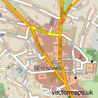
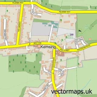
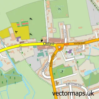
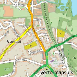
Nearby street map samples around Seal

More street maps in Kent
750 metre map area coverage
Boundary, postcode and point of interest information for the 750m x 750m rectangle centred on this sample map.
Boundaries containing map centre
Constituency: Sevenoaks Co Const
County: Kent County
District: Sevenoaks District
Icb: NHS Kent and Medway ICB
Parish: Seal CP
Police Force: kent
Postcode District: TN15
Postcode Sector: TN15 0
Ward: Seal & Weald Ward
Nearby boundaries intersecting sample
Postcode Sector: TN15 6
Postcode coverage
POI category counts
Indian Restaurant: 3
Anglican Church: 2
Church Cathedral: 2
Driving School: 2
Employment Agencies: 2
Library: 2
Retail: 2
Accountant: 1
Acupuncture: 1
Advertising Agency: 1
Sample points of interest
- Lee, Dicketts and Co
- Nightingales Acupuncture
- Queste Design
- SGE Limited
- St Peter & St Paul, Seal
- St. Peter & St. Paul
- Aquarium & Ponds UK
- Grayston Alan Durtnell Architects
- Greensleeves Homes Trust
- Barclays ATM
- Forge Garage
- Forge Garage
Create a larger editable map of Seal
This sample shows only a 750 metre area. To create a larger map of Seal, use our map builder to choose your own coverage area, add titles and download editable SVG, PDF and PNG files.
Create a custom map of Seal