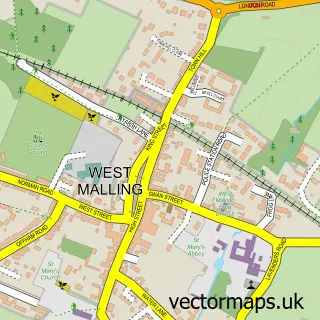
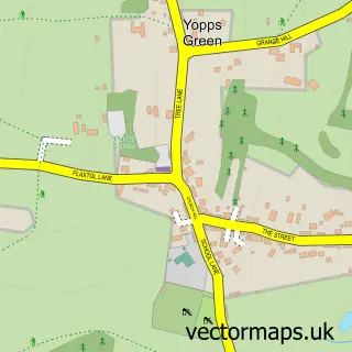
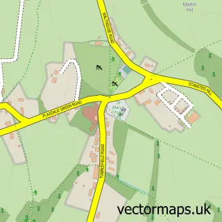
This Borough Green street map is a detailed vector street map covering a 750m x 750m area. Select a larger area to create and download your own vector street map of Borough Green.
The 750-metre map sample for Borough Green covers 396 mapped buildings and approximately 18.2 km of road detail, of which 43 named roads are named. The immediate area includes 1 school, 1 railway station, 1 GP surgery and 2 pubs among other local services. The wider area around Borough Green features 2 tourism points of interest, 11 food and drink venues and 1 hotel. To create a larger or custom map of Borough Green, the map builder lets you define your own coverage area and download editable SVG, PDF and PNG files.
Create a larger editable map of Borough Green
Choose any area you need and generate a high-quality vector map instantly. Perfect for print, planning, design, business and personal use.

This Borough Green street map in Kent is available as downloadable SVG, PDF and PNG map files, or as a printed map for planning, business, display, education, local information and design work. You can also create a larger custom map area using the map selector.
What this Borough Green map sample shows
Borough Green lies within Borough Green Cp parish, part of Borough Green And Long Mill ward in the Tonbridge And Malling District (B) local authority area. The postcode geography for this area includes the TN postcode area, the TN15 postcode district and the TN15 8 postcode sector. Residents fall under the Nhs Kent And Medway Integrated Care Board for NHS services.
Local features near Borough Green
Within 2 milesAmenities and services in and around Borough Green.
Administrative and postcode information for Borough Green
The local authority covering Borough Green is Tonbridge And Malling District (B), within the county of Kent. The settlement lies within Borough Green And Long Mill ward and Borough Green Cp civil parish. The TN15 postcode district and TN15 8 postcode sector serve the immediate area. NHS provision in the area is delivered through Maidstone And Tunbridge Wells Nhs Trust.
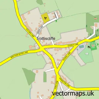
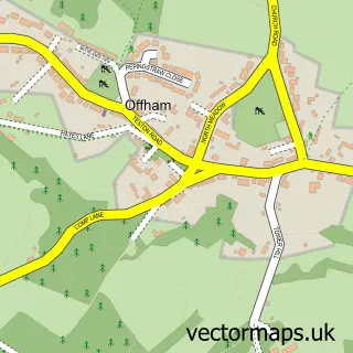
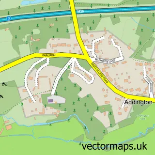
Nearby street map samples around Borough Green

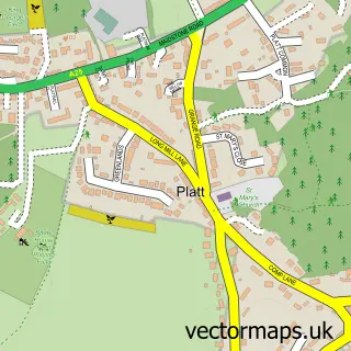
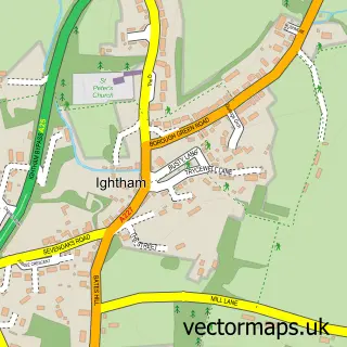
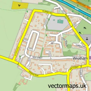
More street maps in Kent
750 metre map area coverage
Boundary, postcode and point of interest information for the 750m x 750m rectangle centred on this sample map.
Boundaries containing map centre
Constituency: Tonbridge Co Const
County: Kent County
District: Tonbridge and Malling District (B)
Icb: NHS Kent and Medway ICB
Parish: Borough Green CP
Police Force: kent
Postcode District: TN15
Postcode Sector: TN15 8
Ward: Borough Green & Platt Ward
Nearby boundaries intersecting sample
No additional intersecting boundaries found.
Postcode coverage
POI category counts
Dentist: 6
Professional Services: 6
Building Supply Store: 5
Beauty Salon: 4
Coffee Shop: 4
Automotive Repair: 3
Cafe: 3
Convenience Store: 3
Doctor: 3
Gas Station: 3
Sample points of interest
- 1st 4 Accounts Ltd.
- J & F Accountancy Ltd.
- William Stockbridge - Personal Trainer & Sports massage therapist
- Diviniti Publishing
- The Good Shepherd
- Heart of Kent Hospice Shop
- MFG - Bracken Hill (MRH), Borough Green
- The Cooperative Food (BF) Borough Green, Borough Green
- Ratio Transmissions Ltd.
- JJ mobile autos
- Borough Green Garage & MOT Centre
- G & S Mechanical Engineers
Create a larger editable map of Borough Green
This sample shows only a 750 metre area. To create a larger map of Borough Green, use our map builder to choose your own coverage area, add titles and download editable SVG, PDF and PNG files.
Create a custom map of Borough Green