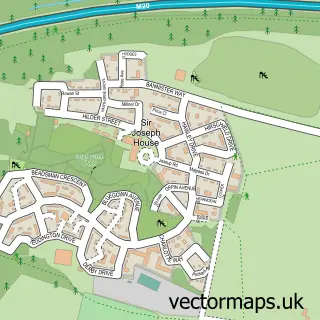
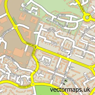
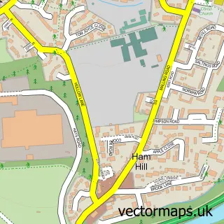
This West Malling street map is a detailed vector street map covering a 750m x 750m area. Select a larger area to create and download your own vector street map of West Malling.
The 750-metre map sample for West Malling covers 303 mapped buildings and approximately 11.3 km of road detail, of which 18 named roads are named. The immediate area includes 1 school, 2 GP surgeries within 2 miles, 6 pubs and 2 MOT stations, with 5 within 2 miles. The wider area around West Malling features 1 tourism point of interest, 15 food and drink venues and 2 hotels. To create a larger or custom map of West Malling, the map builder lets you define your own coverage area and download editable SVG, PDF and PNG files.
Create a larger editable map of West Malling
Choose any area you need and generate a high-quality vector map instantly. Perfect for print, planning, design, business and personal use.

This West Malling street map in Kent is available as downloadable SVG, PDF and PNG map files, or as a printed map for planning, business, display, education, local information and design work. You can also create a larger custom map area using the map selector.
What this West Malling map sample shows
West Malling lies within West Malling Cp parish, part of West Malling And Leybourne ward in the Tonbridge And Malling District (B) local authority area. The postcode geography for this area includes the ME postcode area, the ME19 postcode district and the ME19 6 postcode sector. Residents fall under the Nhs Kent And Medway Integrated Care Board for NHS services.
Local features near West Malling
Within 2 milesAmenities and services in and around West Malling.
Administrative and postcode information for West Malling
The local authority covering West Malling is Tonbridge And Malling District (B), within the county of Kent. The settlement lies within West Malling And Leybourne ward and West Malling Cp civil parish. The ME19 postcode district and ME19 6 postcode sector serve the immediate area. NHS provision in the area is delivered through Maidstone And Tunbridge Wells Nhs Trust.
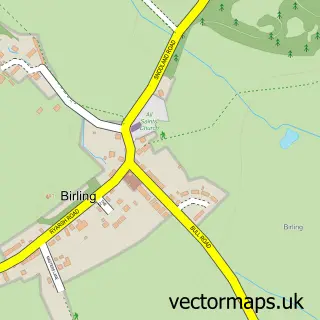
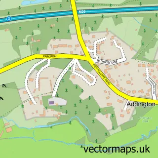
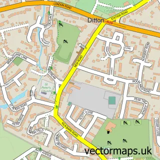
Nearby street map samples around West Malling

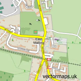
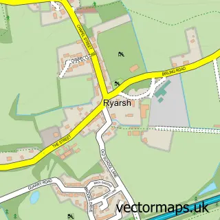
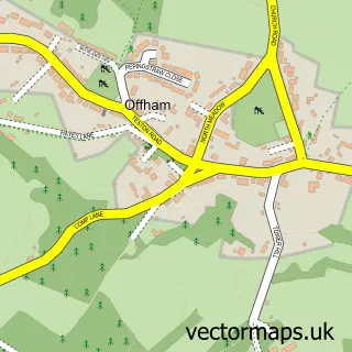
More street maps in Kent
750 metre map area coverage
Boundary, postcode and point of interest information for the 750m x 750m rectangle centred on this sample map.
Boundaries containing map centre
Constituency: Maidstone and Malling Co Const
County: Kent County
District: Tonbridge and Malling District (B)
Icb: NHS Kent and Medway ICB
Parish: West Malling CP
Police Force: kent
Postcode District: ME19
Postcode Sector: ME19 6
Ward: East Malling, West Malling & Offham Ward
Nearby boundaries intersecting sample
Parish: Leybourne CP
Postcode Sector: ME19 5
Ward: Birling, Leybourne & Ryarsh Ward
Postcode coverage
POI category counts
Real Estate Agent: 11
Professional Services: 9
Hair Salon: 8
Flowers And Gifts Shop: 6
Pub: 6
Restaurant: 5
Beauty Salon: 4
Retail: 4
Bank Credit Union: 3
Bridal Shop: 3
Sample points of interest
- Perrys Chartered Accountants
- All About U -West Malling -Paul Gould- Health Treatments
- Advanced Media Associates
- Submission Technology
- Stuart Richardscp Inlpta GHR Reg SQHP Mbih Mbcma NRH
- West Malling Hypnotherapy Practice
- Pilsdon at Malling, Barn Chapel
- St Mary's Church
- Heart of Kent Hospice Shop
- The Old Clock Shop
- The Drawing Rooms
- The Gallery
Create a larger editable map of West Malling
This sample shows only a 750 metre area. To create a larger map of West Malling, use our map builder to choose your own coverage area, add titles and download editable SVG, PDF and PNG files.
Create a custom map of West Malling