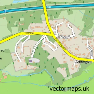
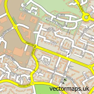
This Leybourne Chase street map is a detailed vector street map covering a 750m x 750m area. Select a larger area to create and download your own vector street map of Leybourne Chase.
The 750-metre map sample for Leybourne Chase covers 267 mapped buildings and approximately 13.7 km of road detail, of which 26 named roads are named. The immediate area includes 2 schools, 2 GP surgeries within 2 miles and 5 MOT stations within 2 miles. To create a larger or custom map of Leybourne Chase, the map builder lets you define your own coverage area and download editable SVG, PDF and PNG files.
Create a larger editable map of Leybourne Chase
Choose any area you need and generate a high-quality vector map instantly. Perfect for print, planning, design, business and personal use.

This Leybourne Chase street map in Kent is available as downloadable SVG, PDF and PNG map files, or as a printed map for planning, business, display, education, local information and design work. You can also create a larger custom map area using the map selector.
What this Leybourne Chase map sample shows
Leybourne Chase lies within Ryarsh Cp parish, part of Downs And Mereworth ward in the Tonbridge And Malling District (B) local authority area. The postcode geography for this area includes the ME postcode area, the ME19 postcode district and the ME19 5 postcode sector. Residents fall under the Nhs Kent And Medway Integrated Care Board for NHS services.
Local features near Leybourne Chase
Within 2 milesAmenities and services in and around Leybourne Chase.
Administrative and postcode information for Leybourne Chase
The local authority covering Leybourne Chase is Tonbridge And Malling District (B), within the county of Kent. The settlement lies within Downs And Mereworth ward and Ryarsh Cp civil parish. The ME19 postcode district and ME19 5 postcode sector serve the immediate area. NHS provision in the area is delivered through Maidstone And Tunbridge Wells Nhs Trust.
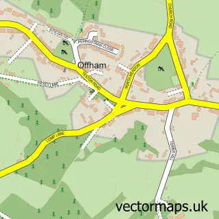
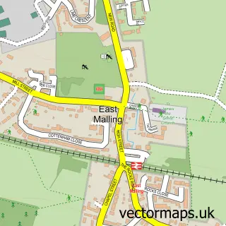
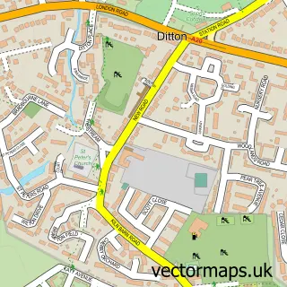
Nearby street map samples around Leybourne Chase
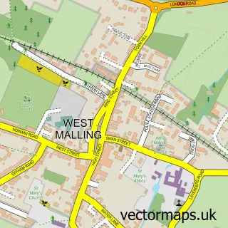

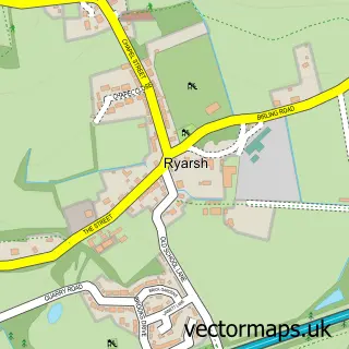
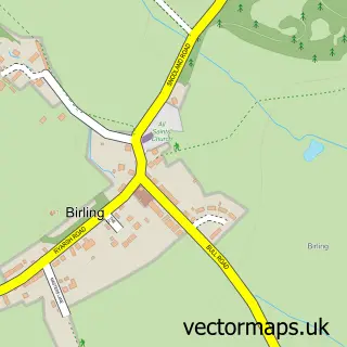
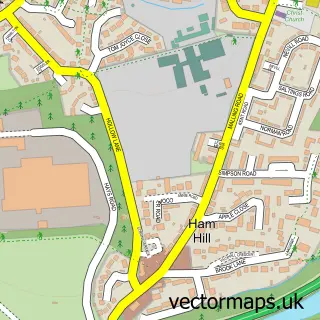
More street maps in Kent
750 metre map area coverage
Boundary, postcode and point of interest information for the 750m x 750m rectangle centred on this sample map.
Boundaries containing map centre
Constituency: Maidstone and Malling Co Const
County: Kent County
District: Tonbridge and Malling District (B)
Icb: NHS Kent and Medway ICB
Parish: Leybourne CP
Police Force: kent
Postcode District: ME19
Postcode Sector: ME19 5
Ward: Birling, Leybourne & Ryarsh Ward
Nearby boundaries intersecting sample
Constituency: Tonbridge Co Const
Parish: Birling CP, Ryarsh CP
Postcode coverage
POI category counts
Elementary School: 3
Courier And Delivery Services: 2
Graphic Designer: 2
Bakery: 1
Building Supply Store: 1
Community Center: 1
Event Planning: 1
Fitness Trainer: 1
Home Improvement Store: 1
Hospital: 1
Sample points of interest
- Average Doughs Bakery
- Nmco Electrical Ltd
- Leybourne Chase Community Centre
- Evri ParcelShop
- Evri ParcelShop
- Kent Health Needs Education Service
- Valley Invicta Primary School at Leybourne Chase
- West Kent Health Needs Education Sevice
- Bubble & Chic Bathrooms
- Bounce Leybourne Chase
- Design and Innovate
- Perfected Designs
Create a larger editable map of Leybourne Chase
This sample shows only a 750 metre area. To create a larger map of Leybourne Chase, use our map builder to choose your own coverage area, add titles and download editable SVG, PDF and PNG files.
Create a custom map of Leybourne Chase