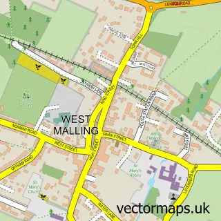
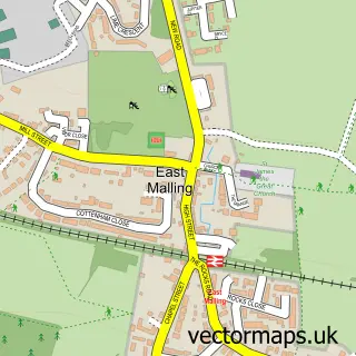
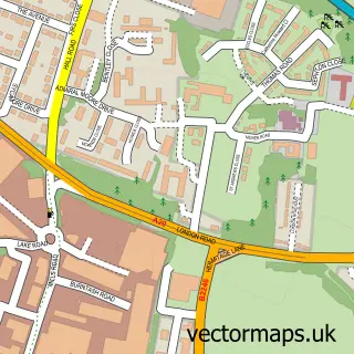
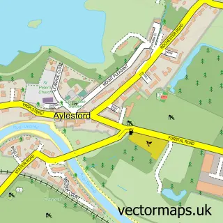
This Ditton street map is a detailed vector street map covering a 750m x 750m area. Select a larger area to create and download your own vector street map of Ditton.
The 750-metre map sample for Ditton covers 462 mapped buildings and approximately 15.8 km of road detail, of which 26 named roads are named. The immediate area includes 2 schools, 2 GP surgeries within 2 miles, 2 pubs and 18 MOT stations within 2 miles. The wider area around Ditton features 4 food and drink venues and 1 hotel. To create a larger or custom map of Ditton, the map builder lets you define your own coverage area and download editable SVG, PDF and PNG files.
Create a larger editable map of Ditton
Choose any area you need and generate a high-quality vector map instantly. Perfect for print, planning, design, business and personal use.

This Ditton street map in Kent is available as downloadable SVG, PDF and PNG map files, or as a printed map for planning, business, display, education, local information and design work. You can also create a larger custom map area using the map selector.
What this Ditton map sample shows
Ditton lies within Ditton Cp parish, part of Ditton ward in the Tonbridge And Malling District (B) local authority area. The postcode geography for this area includes the ME postcode area, the ME20 postcode district and the ME20 6 postcode sector. Residents fall under the Nhs Kent And Medway Integrated Care Board for NHS services.
Local features near Ditton
Within 2 milesAmenities and services in and around Ditton.
Administrative and postcode information for Ditton
Ditton lies within Ditton Cp parish, part of Ditton ward in the Tonbridge And Malling District (B) local authority area. The postcode geography for this area includes the ME postcode area, the ME20 postcode district and the ME20 6 postcode sector. Residents fall under the Nhs Kent And Medway Integrated Care Board for NHS services.
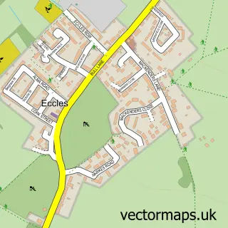
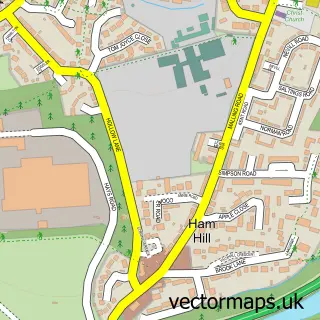
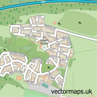
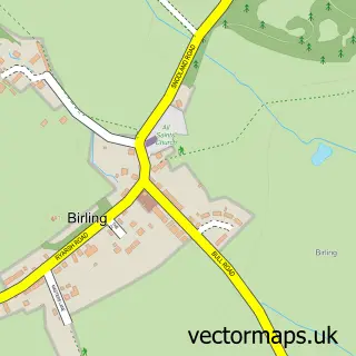
Nearby street map samples around Ditton

More street maps in Kent
750 metre map area coverage
Boundary, postcode and point of interest information for the 750m x 750m rectangle centred on this sample map.
Boundaries containing map centre
Constituency: Maidstone and Malling Co Const
County: Kent County
District: Tonbridge and Malling District (B)
Icb: NHS Kent and Medway ICB
Parish: Ditton CP
Police Force: kent
Postcode District: ME20
Postcode Sector: ME20 6
Ward: Aylesford South & Ditton Ward
Nearby boundaries intersecting sample
Constituency: Chatham and Aylesford Co Const
Parish: East Malling & Larkfield CP
Ward: Larkfield Ward
Postcode coverage
POI category counts
Convenience Store: 5
Gas Station: 4
Beauty Salon: 3
Church Cathedral: 3
Automotive Repair: 2
Community Services Non Profits: 2
Driving School: 2
Education: 2
Electrician: 2
Elementary School: 2
Sample points of interest
- Diane Jones
- Ditton: St Peter ad Vincula
- Factotum Promotions
- MFG - Ditton (MRH)
- Redline American Muscle
- Vehicle Electrics & Security
- Cedar Park Beauty
- Lash Lounge
- Nics Beauty Stop - Avon
- V C Handyman
- Formations Hunt Ltd - Company Formation and Registration in UK
- Southern Shih Tzu Rescue
Create a larger editable map of Ditton
This sample shows only a 750 metre area. To create a larger map of Ditton, use our map builder to choose your own coverage area, add titles and download editable SVG, PDF and PNG files.
Create a custom map of Ditton