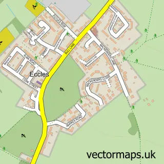
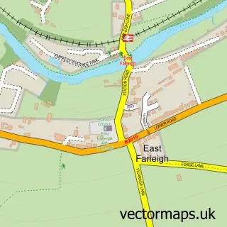
This Royal British Legion Village street map is a detailed vector street map covering a 750m x 750m area. Select a larger area to create and download your own vector street map of Royal British Legion Village.
The 750-metre map sample for Royal British Legion Village covers 197 mapped buildings and approximately 18.7 km of road detail, of which 29 named roads are named. The immediate area includes 1 GP surgery, with 4 within 2 miles and 1 MOT station, with 18 within 2 miles. The wider area around Royal British Legion Village features 1 tourism point of interest and 2 food and drink venues. To create a larger or custom map of Royal British Legion Village, the map builder lets you define your own coverage area and download editable SVG, PDF and PNG files.
Create a larger editable map of Royal British Legion Village
Choose any area you need and generate a high-quality vector map instantly. Perfect for print, planning, design, business and personal use.

This Royal British Legion Village street map in Kent is available as downloadable SVG, PDF and PNG map files, or as a printed map for planning, business, display, education, local information and design work. You can also create a larger custom map area using the map selector.
What this Royal British Legion Village map sample shows
Royal British Legion Village lies within Aylesford Cp parish, part of Aylesford South ward in the Tonbridge And Malling District (B) local authority area. The postcode geography for this area includes the ME postcode area, the ME20 postcode district and the ME20 7 postcode sector. Residents fall under the Nhs Kent And Medway Integrated Care Board for NHS services.
Local features near Royal British Legion Village
Within 2 milesAmenities and services in and around Royal British Legion Village.
Administrative and postcode information for Royal British Legion Village
The local authority covering Royal British Legion Village is Tonbridge And Malling District (B), within the county of Kent. The settlement lies within Aylesford South ward and Aylesford Cp civil parish. The ME20 postcode district and ME20 7 postcode sector serve the immediate area. NHS provision in the area is delivered through Maidstone And Tunbridge Wells Nhs Trust.
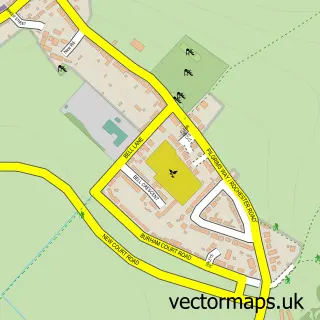
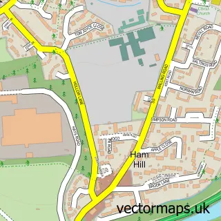
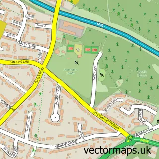
Nearby street map samples around Royal British Legion Village
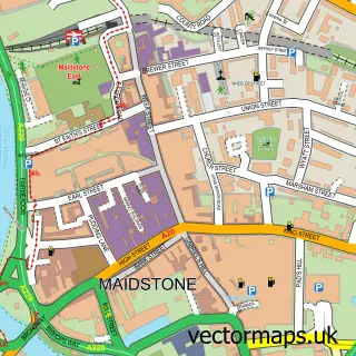

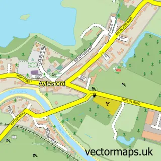
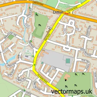
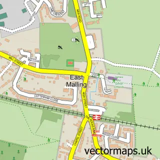
More street maps in Kent
750 metre map area coverage
Boundary, postcode and point of interest information for the 750m x 750m rectangle centred on this sample map.
Boundaries containing map centre
Constituency: Maidstone and Malling Co Const
County: Kent County
District: Tonbridge and Malling District (B)
Icb: NHS Kent and Medway ICB
Parish: Aylesford CP
Police Force: kent
Postcode District: ME20
Postcode Sector: ME20 7
Ward: Aylesford South & Ditton Ward
Nearby boundaries intersecting sample
Ward: Aylesford North & North Downs Ward
Postcode coverage
POI category counts
Furniture Store: 6
Car Dealer: 5
Automotive: 4
Charity Organization: 4
Metal Fabricator: 3
Retirement Home: 3
Barbecue Restaurant: 2
Doctor: 2
Financial Service: 2
Gas Station: 2
Sample points of interest
- D C Hudson and Partner
- Garden of Honour
- Arden Maidstone - Bmw
- Arden Maidstone BMW
- Group 1 Kia Maidstone
- Group 1 Toyota Maidstone
- Halfords
- Motability Scheme at Arden BMW Maidstone
- M&S Café
- Nando's South Aylesford
- Blush Lashes & Beauty Aylesford
- Base Camp with Sweet Sensations
Create a larger editable map of Royal British Legion Village
This sample shows only a 750 metre area. To create a larger map of Royal British Legion Village, use our map builder to choose your own coverage area, add titles and download editable SVG, PDF and PNG files.
Create a custom map of Royal British Legion Village