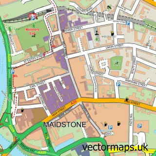
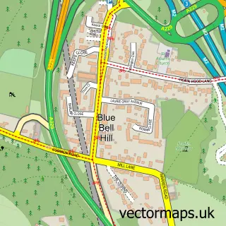
This Penenden Heath street map is a detailed vector street map covering a 750m x 750m area. Select a larger area to create and download your own vector street map of Penenden Heath.
The 750-metre map sample for Penenden Heath covers 314 mapped buildings and approximately 15.0 km of road detail, of which 22 named roads are named. The immediate area includes 4 GP surgeries within 2 miles, 5 pubs and 19 MOT stations within 2 miles. The wider area around Penenden Heath features 1 tourism point of interest and 8 food and drink venues. To create a larger or custom map of Penenden Heath, the map builder lets you define your own coverage area and download editable SVG, PDF and PNG files.
Create a larger editable map of Penenden Heath
Choose any area you need and generate a high-quality vector map instantly. Perfect for print, planning, design, business and personal use.

This Penenden Heath street map in Kent is available as downloadable SVG, PDF and PNG map files, or as a printed map for planning, business, display, education, local information and design work. You can also create a larger custom map area using the map selector.
What this Penenden Heath map sample shows
Penenden Heath lies within Boxley Cp parish, part of Boxley ward in the Maidstone District (B) local authority area. The postcode geography for this area includes the ME postcode area, the ME14 postcode district and the ME14 3 postcode sector. Residents fall under the Nhs Kent And Medway Integrated Care Board for NHS services.
Local features near Penenden Heath
Within 2 milesAmenities and services in and around Penenden Heath.
Administrative and postcode information for Penenden Heath
Penenden Heath lies within Boxley Cp parish, part of Boxley ward in the Maidstone District (B) local authority area. The postcode geography for this area includes the ME postcode area, the ME14 postcode district and the ME14 3 postcode sector. Residents fall under the Nhs Kent And Medway Integrated Care Board for NHS services.
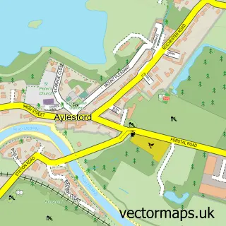
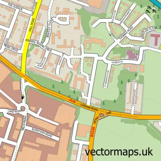
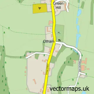
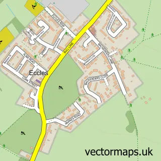
Nearby street map samples around Penenden Heath

More street maps in Kent
750 metre map area coverage
Boundary, postcode and point of interest information for the 750m x 750m rectangle centred on this sample map.
Boundaries containing map centre
Constituency: Maidstone and Malling Co Const
County: Kent County
District: Maidstone District (B)
Icb: NHS Kent and Medway ICB
Police Force: kent
Postcode District: ME14
Postcode Sector: ME14 2
Ward: Penenden Heath Ward
Nearby boundaries intersecting sample
Constituency: Faversham and Mid Kent Co Const
Parish: Boxley CP
Postcode Sector: ME14 3, ME14 5
Ward: Boxley Downs Ward, Grove Green & Vinters Park Ward
Postcode coverage
POI category counts
Convenience Store: 5
Pub: 5
Beauty Salon: 3
Contractor: 3
Preschool: 3
Accountant: 2
Barber: 2
Building Supply Store: 2
Business To Business: 2
Cleaning Services: 2
Sample points of interest
- Azets - Accountants & Business Advisors
- Pithman’s
- Progression Fitness Bootcamps
- Elite Solutions
- Alan Woollett Art
- Inn Vision Multimedia
- Adg Electrical
- Bryant Barbers
- Bryant Barbers
- JR Glamour - Microblading I Permanent Makeup Specialist
- Mulberry Beauty Room
- The Fox and Hair Salon
Create a larger editable map of Penenden Heath
This sample shows only a 750 metre area. To create a larger map of Penenden Heath, use our map builder to choose your own coverage area, add titles and download editable SVG, PDF and PNG files.
Create a custom map of Penenden Heath